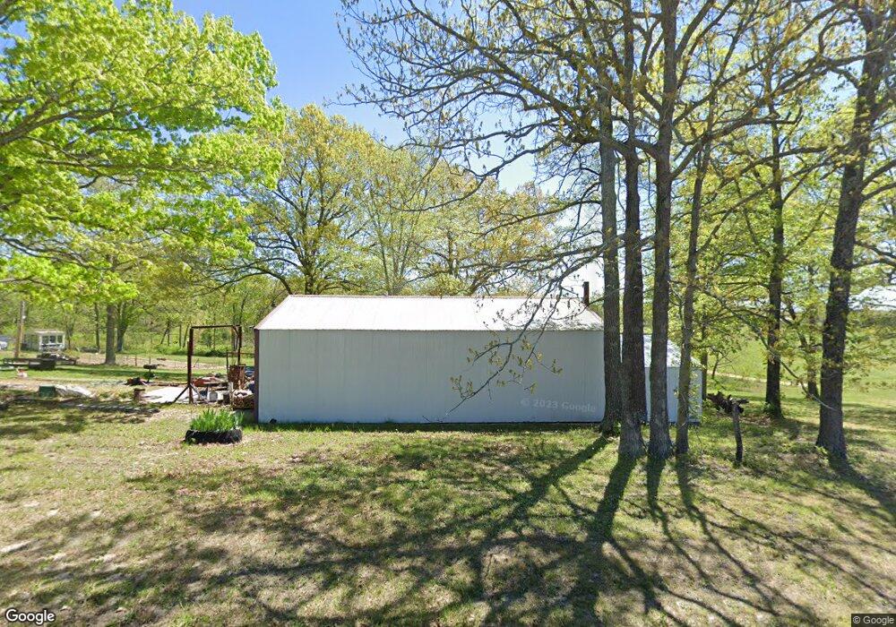
872 Highway B Mansfield, MO 65704
Estimated Value: $126,588 - $178,000
2
Beds
--
Bath
864
Sq Ft
$172/Sq Ft
Est. Value
About This Home
This home is located at 872 Highway B, Mansfield, MO 65704 and is currently estimated at $148,863, approximately $172 per square foot. 872 Highway B is a home with nearby schools including Wilder Elementary School, Mansfield Junior High School, and Mansfield High School.
Create a Home Valuation Report for This Property
The Home Valuation Report is an in-depth analysis detailing your home's value as well as a comparison with similar homes in the area
Home Values in the Area
Average Home Value in this Area
Tax History Compared to Growth
Tax History
| Year | Tax Paid | Tax Assessment Tax Assessment Total Assessment is a certain percentage of the fair market value that is determined by local assessors to be the total taxable value of land and additions on the property. | Land | Improvement |
|---|---|---|---|---|
| 2024 | $4 | $10,010 | $0 | $0 |
| 2023 | $372 | $10,010 | $0 | $0 |
| 2022 | $347 | $9,230 | $0 | $0 |
| 2021 | $293 | $9,230 | $0 | $0 |
| 2020 | $356 | $8,070 | $0 | $0 |
| 2019 | $357 | $8,070 | $0 | $0 |
| 2018 | $333 | $7,510 | $0 | $0 |
| 2017 | $334 | $7,510 | $0 | $0 |
| 2016 | $327 | $7,370 | $0 | $0 |
| 2015 | -- | $7,410 | $0 | $0 |
| 2013 | -- | $7,410 | $0 | $0 |
Source: Public Records
Map
Nearby Homes
- 1995 Corder Pass Rd
- 550 Panther Prowl Ln
- 1138 Rock Rd
- 1331 Rock Rd
- 000 Box 110 Rr2
- 1817 Highway B
- 102 S Lois Ct
- 16719 Private Dr 1047
- 1174 Old State Highway 5
- 5405 Highway B
- 203 High St
- 305 S Rock Ave
- 530 W Commercial St
- 110 W Clinton St
- Tbd State Highway U
- 000 State Highway U
- 204 W Maple St
- 202 N Ash Ave
- 421 N Phelps St
- 807 State Highway U