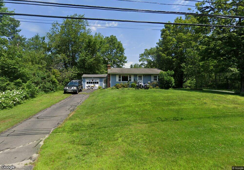
872 Main Rd Granville, MA 01034
Estimated Value: $257,000 - $285,000
2
Beds
1
Bath
825
Sq Ft
$328/Sq Ft
Est. Value
About This Home
This home is located at 872 Main Rd, Granville, MA 01034 and is currently estimated at $270,775, approximately $328 per square foot. 872 Main Rd is a home located in Hampden County with nearby schools including Community Christian School.
Ownership History
Date
Name
Owned For
Owner Type
Purchase Details
Closed on
Oct 6, 2010
Sold by
Gagne Merrilyn A
Bought by
Lawrence David W
Current Estimated Value
Purchase Details
Closed on
Oct 4, 2004
Sold by
Clark Gary R
Bought by
Gagne Merrilyn A
Home Financials for this Owner
Home Financials are based on the most recent Mortgage that was taken out on this home.
Original Mortgage
$128,000
Interest Rate
5.81%
Mortgage Type
Purchase Money Mortgage
Purchase Details
Closed on
Aug 29, 1997
Sold by
Wainman Harry B and Wainman Sherry L
Bought by
Clark Gary R
Create a Home Valuation Report for This Property
The Home Valuation Report is an in-depth analysis detailing your home's value as well as a comparison with similar homes in the area
Home Values in the Area
Average Home Value in this Area
Purchase History
| Date | Buyer | Sale Price | Title Company |
|---|---|---|---|
| Lawrence David W | $145,000 | -- | |
| Gagne Merrilyn A | $128,000 | -- | |
| Clark Gary R | $103,000 | -- | |
| Lawrence David W | $145,000 | -- | |
| Gagne Merrilyn A | $128,000 | -- | |
| Clark Gary R | $103,000 | -- |
Source: Public Records
Mortgage History
| Date | Status | Borrower | Loan Amount |
|---|---|---|---|
| Previous Owner | Clark Gary R | $157,000 | |
| Previous Owner | Gagne Merrilyn A | $128,000 | |
| Previous Owner | Clark Gary R | $15,000 |
Source: Public Records
Tax History Compared to Growth
Tax History
| Year | Tax Paid | Tax Assessment Tax Assessment Total Assessment is a certain percentage of the fair market value that is determined by local assessors to be the total taxable value of land and additions on the property. | Land | Improvement |
|---|---|---|---|---|
| 2025 | $2,523 | $185,000 | $50,600 | $134,400 |
| 2024 | $2,377 | $179,800 | $49,600 | $130,200 |
| 2023 | $2,250 | $158,700 | $44,900 | $113,800 |
| 2022 | $2,159 | $141,300 | $40,900 | $100,400 |
| 2021 | $1,947 | $124,000 | $40,900 | $83,100 |
| 2020 | $1,971 | $128,000 | $40,900 | $87,100 |
| 2019 | $1,988 | $130,800 | $42,500 | $88,300 |
| 2018 | $1,941 | $129,900 | $42,500 | $87,400 |
| 2017 | $1,853 | $133,900 | $42,500 | $91,400 |
| 2016 | $1,740 | $135,500 | $42,500 | $93,000 |
| 2015 | $1,718 | $135,500 | $42,500 | $93,000 |
| 2014 | $1,733 | $136,900 | $42,500 | $94,400 |
Source: Public Records
Map
Nearby Homes
- 640 Main Rd
- 614 Main Rd
- 604 Main Rd
- 23 Dickinson Dr
- 427 Main Rd
- 150B Peck Orchard Rd
- 14 Peck Orchard Rd
- 344 Beech Hill Rd
- 557 North Ln
- 310 Granville Rd
- 2 Pheasant Run
- 279 Granville Rd
- 49 Pheasant Run
- 16R Greenwood Rd
- 35 Silver Brook Ln
- 162 Honey Pot Rd
- 156 Honey Pot Rd
- 157 Vining Hill Rd
- 82 Hillside Rd
- 444 Loomis St