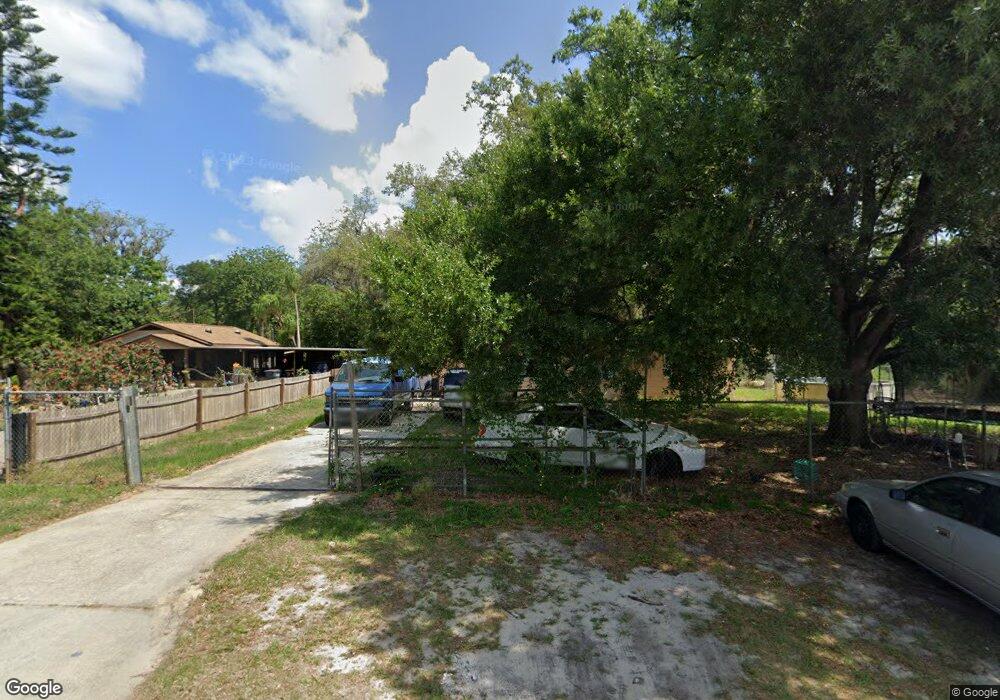
872 Oak St Waverly, FL 33877
Southeast Winterhaven NeighborhoodEstimated Value: $132,000 - $234,000
2
Beds
2
Baths
1,204
Sq Ft
$161/Sq Ft
Est. Value
About This Home
This home is located at 872 Oak St, Waverly, FL 33877 and is currently estimated at $194,108, approximately $161 per square foot. 872 Oak St is a home with nearby schools including Kruse Elementary School, Olander Elementary School, and O'Dea Elementary School.
Ownership History
Date
Name
Owned For
Owner Type
Purchase Details
Closed on
Oct 29, 2004
Sold by
Rosado David and Rosado Maria
Bought by
Rosado Marla
Current Estimated Value
Home Financials for this Owner
Home Financials are based on the most recent Mortgage that was taken out on this home.
Original Mortgage
$58,500
Interest Rate
5.57%
Purchase Details
Closed on
Aug 4, 1997
Sold by
Pardise Island Camp Ground Inc
Bought by
Rosado David and Rosado Maria
Home Financials for this Owner
Home Financials are based on the most recent Mortgage that was taken out on this home.
Original Mortgage
$35,100
Interest Rate
7.61%
Create a Home Valuation Report for This Property
The Home Valuation Report is an in-depth analysis detailing your home's value as well as a comparison with similar homes in the area
Home Values in the Area
Average Home Value in this Area
Purchase History
| Date | Buyer | Sale Price | Title Company |
|---|---|---|---|
| Rosado Marla | $11,000 | First American Title Ins Co | |
| Rosado David | $39,000 | -- |
Source: Public Records
Mortgage History
| Date | Status | Borrower | Loan Amount |
|---|---|---|---|
| Closed | Rosado Marla | $58,500 | |
| Previous Owner | Rosado David | $35,100 |
Source: Public Records
Tax History Compared to Growth
Tax History
| Year | Tax Paid | Tax Assessment Tax Assessment Total Assessment is a certain percentage of the fair market value that is determined by local assessors to be the total taxable value of land and additions on the property. | Land | Improvement |
|---|---|---|---|---|
| 2025 | $2,259 | $121,624 | -- | -- |
| 2024 | $1,942 | $110,567 | -- | -- |
| 2023 | $1,942 | $100,515 | $0 | $0 |
| 2022 | $1,779 | $91,377 | $0 | $0 |
| 2021 | $1,599 | $83,070 | $5,658 | $77,412 |
| 2020 | $1,510 | $77,566 | $5,382 | $72,184 |
| 2018 | $1,390 | $71,297 | $5,106 | $66,191 |
| 2017 | $1,272 | $61,661 | $0 | $0 |
| 2016 | $1,233 | $59,838 | $0 | $0 |
| 2015 | $869 | $56,118 | $0 | $0 |
| 2014 | $1,065 | $51,016 | $0 | $0 |
Source: Public Records
Map
Nearby Homes
- 815 Oak St
- 656 W Date St W
- 915 C F Kinney Rd
- 0 Henry St
- 0 C F Kinney Rd Unit A11686511
- 863 C F Kinney Rd
- 219 Sheila Ln
- 4865 Huffy Ct Unit 105
- 4718 Roadmaster Dr
- 660 Duggers Way
- 833 3rd Ave
- 0 Hwy 27 Unit P4916588
- ALFORD Plan at Leoma's Landing
- FREEPORT II Plan at Leoma's Landing
- 1119 Amber Waves Ct
- DUNDEE Plan at Leoma's Landing
- CAMERON Plan at Leoma's Landing
- 725 Greenway Blvd
- GREENBRIAR Plan at Leoma's Landing
- 1127 Amber Waves Ct