872 SW State Route 58 Centerview, MO 64019
Estimated Value: $201,229 - $314,000
--
Bed
--
Bath
1,579
Sq Ft
$166/Sq Ft
Est. Value
About This Home
This home is located at 872 SW State Route 58, Centerview, MO 64019 and is currently estimated at $261,410, approximately $165 per square foot. 872 SW State Route 58 is a home located in Johnson County with nearby schools including Holden Elementary School, Holden Middle School, and Holden High School.
Ownership History
Date
Name
Owned For
Owner Type
Purchase Details
Closed on
Jul 22, 2009
Sold by
Ring Patricia J
Bought by
Fike Jeffrey W and Fikefike Wanda J
Current Estimated Value
Home Financials for this Owner
Home Financials are based on the most recent Mortgage that was taken out on this home.
Original Mortgage
$120,000
Outstanding Balance
$79,896
Interest Rate
5.71%
Mortgage Type
VA
Estimated Equity
$181,514
Purchase Details
Closed on
Aug 10, 2005
Sold by
Schaefer George Albert and Schaefer Carol
Bought by
Ring Patricia J
Home Financials for this Owner
Home Financials are based on the most recent Mortgage that was taken out on this home.
Original Mortgage
$236,744
Interest Rate
5.61%
Mortgage Type
Purchase Money Mortgage
Create a Home Valuation Report for This Property
The Home Valuation Report is an in-depth analysis detailing your home's value as well as a comparison with similar homes in the area
Home Values in the Area
Average Home Value in this Area
Purchase History
| Date | Buyer | Sale Price | Title Company |
|---|---|---|---|
| Fike Jeffrey W | -- | -- | |
| Ring Patricia J | -- | Coffelt Land Title Inc |
Source: Public Records
Mortgage History
| Date | Status | Borrower | Loan Amount |
|---|---|---|---|
| Open | Fike Jeffrey W | $120,000 | |
| Previous Owner | Ring Patricia J | $236,744 |
Source: Public Records
Tax History Compared to Growth
Tax History
| Year | Tax Paid | Tax Assessment Tax Assessment Total Assessment is a certain percentage of the fair market value that is determined by local assessors to be the total taxable value of land and additions on the property. | Land | Improvement |
|---|---|---|---|---|
| 2024 | $582 | $8,808 | $0 | $0 |
| 2023 | $582 | $8,808 | $0 | $0 |
| 2022 | $567 | $8,517 | $0 | $0 |
| 2021 | $567 | $8,517 | $0 | $0 |
| 2020 | $552 | $8,227 | $0 | $0 |
| 2019 | $551 | $8,227 | $0 | $0 |
| 2017 | $529 | $8,232 | $0 | $0 |
| 2016 | $529 | $8,232 | $0 | $0 |
| 2015 | $528 | $8,232 | $0 | $0 |
| 2014 | $513 | $8,169 | $0 | $0 |
Source: Public Records
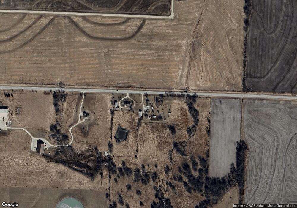
Map
Nearby Homes
- 935 Missouri 58
- 475 SW 801st Rd
- 0 Lot 1 Tbd 500 Rd
- 0 Lot 2 Tbd 500 Rd
- 809 SW 300th Rd
- 0 Rd
- 0 Lot 5 Tbd 500 Rd
- 815 SW 520th Rd
- 561 SW County Road O N A
- 1080 Missouri 58
- 816 SW Vv Hwy
- 141 SW County Road U
- 657 SW 701st Rd
- 1175 SW State Route 58
- 1014 Golden Eagle Cir
- 606 E 10th St
- 602 E 10th St
- 201 S Plum St
- 208 S Plum St
- 1019 Rawlins Dr
- 872 Missouri 58
- 880 SW State Route 58
- 886 SW State Route 58
- 407 SW County Road O
- 423 SW County Road O
- 835 SW State Route 58
- 831 SW State Route 58
- 447 SW County Road O
- 447 SW County Road O
- 424 SW O Hwy
- 424 SW County Road O
- 356 SW 901st Rd
- 934 SW State Route 58
- 361 SW 901st Rd
- 386 SW 811 Rd
- 836 SW State Route 58
- 935 SW State Route 58
- 374 SW 811th Rd
- 386 SW 811th Rd
- 811 SW State Route 58