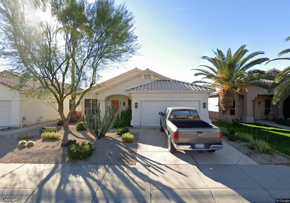
8721 E Gail Rd Unit PETDP Scottsdale, AZ 85260
Estimated Value: $609,022 - $961,000
3
Beds
2
Baths
1,720
Sq Ft
$464/Sq Ft
Est. Value
About This Home
This home is located at 8721 E Gail Rd Unit PETDP, Scottsdale, AZ 85260 and is currently estimated at $798,756, approximately $464 per square foot. 8721 E Gail Rd Unit PETDP is a home located in Maricopa County with nearby schools including Cochise Elementary School, Cocopah Middle School, and Chaparral High School.
Ownership History
Date
Name
Owned For
Owner Type
Purchase Details
Closed on
Nov 17, 2010
Sold by
Loynd Greg and Loynd Donna
Bought by
Loynd Donna L and Loynd Gregory E
Current Estimated Value
Purchase Details
Closed on
Oct 18, 2005
Sold by
Hagen John W
Bought by
Hagan John and Weiner Vicki
Home Financials for this Owner
Home Financials are based on the most recent Mortgage that was taken out on this home.
Original Mortgage
$270,000
Outstanding Balance
$167,010
Interest Rate
8.34%
Mortgage Type
Balloon
Estimated Equity
$631,746
Purchase Details
Closed on
Mar 29, 1995
Sold by
Pulte Home Corp
Bought by
Hagen John W
Home Financials for this Owner
Home Financials are based on the most recent Mortgage that was taken out on this home.
Original Mortgage
$163,600
Interest Rate
6.87%
Mortgage Type
New Conventional
Create a Home Valuation Report for This Property
The Home Valuation Report is an in-depth analysis detailing your home's value as well as a comparison with similar homes in the area
Home Values in the Area
Average Home Value in this Area
Purchase History
| Date | Buyer | Sale Price | Title Company |
|---|---|---|---|
| Loynd Donna L | -- | None Available | |
| Hagan John | -- | First American Title Ins Co | |
| Hagen John W | $156,655 | United Title Agency |
Source: Public Records
Mortgage History
| Date | Status | Borrower | Loan Amount |
|---|---|---|---|
| Open | Hagan John | $270,000 | |
| Previous Owner | Hagen John W | $163,600 |
Source: Public Records
Tax History Compared to Growth
Tax History
| Year | Tax Paid | Tax Assessment Tax Assessment Total Assessment is a certain percentage of the fair market value that is determined by local assessors to be the total taxable value of land and additions on the property. | Land | Improvement |
|---|---|---|---|---|
| 2025 | $2,134 | $37,200 | -- | -- |
| 2024 | $2,086 | $35,429 | -- | -- |
| 2023 | $2,086 | $49,070 | $9,810 | $39,260 |
| 2022 | $1,984 | $38,480 | $7,690 | $30,790 |
| 2021 | $2,152 | $36,630 | $7,320 | $29,310 |
| 2020 | $2,132 | $36,430 | $7,280 | $29,150 |
| 2019 | $2,071 | $33,500 | $6,700 | $26,800 |
| 2018 | $2,023 | $30,400 | $6,080 | $24,320 |
| 2017 | $1,909 | $30,110 | $6,020 | $24,090 |
| 2016 | $1,871 | $27,960 | $5,590 | $22,370 |
| 2015 | $1,798 | $25,770 | $5,150 | $20,620 |
Source: Public Records
Map
Nearby Homes
- 8755 E Gary Rd
- 8521 E Desert Cove Ave
- 8837 E Cortez St
- 11601 N 85th St
- 11612 N 86th St
- 8819 E Altadena Ave
- 9065 E Gary Rd Unit 118
- 9045 E Lupine Ave
- 8307 E Gary Rd
- 8501 E Appaloosa Trail
- 11260 N 92nd St Unit 2136
- 11260 N 92nd St Unit 2043
- 11260 N 92nd St Unit 2102
- 9015 E Altadena Ave
- 8804 E Sunnyside Dr
- 8224 E Gary Rd
- 8939 E Riviera Dr
- 8832 E Sunnyside Dr
- 11515 N 91st St Unit 205
- 10619 N 82nd Place
- 8721 E Gail Rd
- 8709 E Gail Rd
- 8733 E Gail Rd
- 8697 E Gail Rd
- 8745 E Gail Rd
- 8714 E Mescal St
- 8702 E Mescal St
- 8726 E Mescal St
- 8690 E Mescal St
- 8685 E Gail Rd
- 8738 E Mescal St
- 8728 E Gail Rd
- 8716 E Gail Rd
- 8740 E Gail Rd
- 8704 E Gail Rd
- 8678 E Mescal St
- 8752 E Gail Rd
- 8673 E Gail Rd
- 8692 E Gail Rd
- 8666 E Mescal St