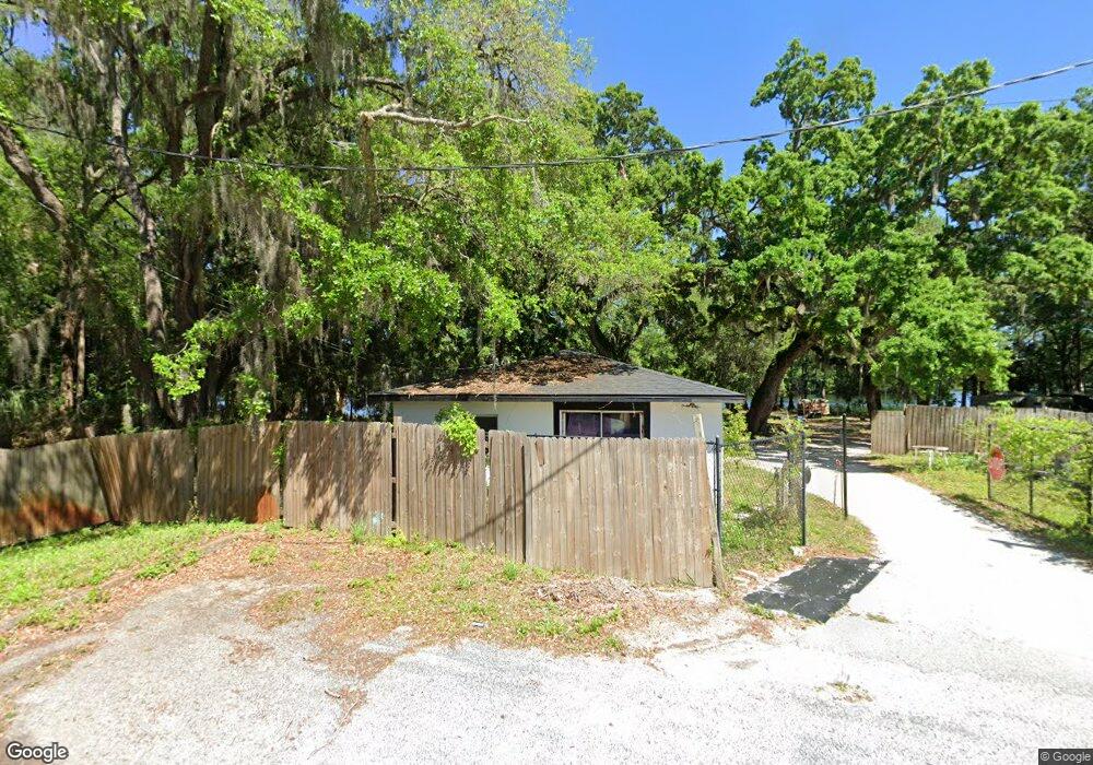
8726 Cameo Dr New Port Richey, FL 34654
Estimated Value: $108,726 - $198,000
2
Beds
1
Bath
672
Sq Ft
$229/Sq Ft
Est. Value
About This Home
This home is located at 8726 Cameo Dr, New Port Richey, FL 34654 and is currently estimated at $154,182, approximately $229 per square foot. 8726 Cameo Dr is a home located in Pasco County with nearby schools including Cypress Elementary School, River Ridge High School, and River Ridge Middle School.
Ownership History
Date
Name
Owned For
Owner Type
Purchase Details
Closed on
Oct 10, 2025
Sold by
Taylor Samson
Bought by
Gulfside Resource Llc
Current Estimated Value
Purchase Details
Closed on
May 20, 2005
Sold by
Whitney Frank Clark and Whitney Gail
Bought by
Shelton Charles
Purchase Details
Closed on
Jul 1, 1993
Sold by
M M Mooring 1 Corp
Bought by
Benderson Ronald
Home Financials for this Owner
Home Financials are based on the most recent Mortgage that was taken out on this home.
Original Mortgage
$3,200,000
Interest Rate
7.52%
Mortgage Type
Purchase Money Mortgage
Create a Home Valuation Report for This Property
The Home Valuation Report is an in-depth analysis detailing your home's value as well as a comparison with similar homes in the area
Home Values in the Area
Average Home Value in this Area
Purchase History
| Date | Buyer | Sale Price | Title Company |
|---|---|---|---|
| Gulfside Resource Llc | $100 | None Listed On Document | |
| Shelton Charles | $240,000 | -- | |
| Benderson Ronald | $4,000,000 | -- |
Source: Public Records
Mortgage History
| Date | Status | Borrower | Loan Amount |
|---|---|---|---|
| Previous Owner | Benderson Ronald | $3,200,000 |
Source: Public Records
Tax History Compared to Growth
Tax History
| Year | Tax Paid | Tax Assessment Tax Assessment Total Assessment is a certain percentage of the fair market value that is determined by local assessors to be the total taxable value of land and additions on the property. | Land | Improvement |
|---|---|---|---|---|
| 2025 | $1,071 | $73,178 | $28,567 | $44,611 |
| 2024 | $1,071 | $68,517 | $27,547 | $40,970 |
| 2023 | $981 | $37,310 | $0 | $0 |
| 2022 | $856 | $58,475 | $20,587 | $37,888 |
| 2021 | $559 | $23,730 | $12,100 | $11,630 |
| 2020 | $528 | $22,195 | $10,960 | $11,235 |
| 2019 | $528 | $22,379 | $10,960 | $11,419 |
| 2018 | $515 | $22,155 | $10,960 | $11,195 |
| 2017 | $487 | $19,827 | $10,960 | $8,867 |
| 2016 | $448 | $19,668 | $10,960 | $8,708 |
| 2015 | $680 | $32,828 | $24,360 | $8,468 |
| 2014 | $657 | $32,609 | $24,360 | $8,249 |
Source: Public Records
Map
Nearby Homes
- 8528 Thrasher Ct
- 8617 Broad St
- 8518 Thrasher Ct
- 0 0 Unit MFRTB8421780
- 8522 Cranes Roost Dr
- 8531 Bass Lake Dr
- 8741 Planters Ln
- 0 Royal Palm Ave Unit MFRW7858646
- 9217 Maynard Ave
- 9210 Maynard Ave
- 9215 Ridge Rd
- 8624 Brookwood Dr
- 9240 Creston Ave
- 0 Hilltop Dr Unit MFRW7868266
- 8057 Moonlight Ln
- 8823 Crescent Forest Blvd
- 8711 Crescent Forest Blvd
- 9307 Wolcott Ln
- 8744 Andros Ln
- 7623 Radcliffe Cir Unit A112