8737 Mathis Store Rd Lumpkin, GA 31815
Estimated Value: $43,718 - $112,000
Studio
--
Bath
--
Sq Ft
65,340
Sq Ft Lot
About This Home
This home is located at 8737 Mathis Store Rd, Lumpkin, GA 31815 and is currently estimated at $77,859. 8737 Mathis Store Rd is a home with nearby schools including Stewart County Elementary School, Stewart County Middle School, and Stewart County High School.
Ownership History
Date
Name
Owned For
Owner Type
Purchase Details
Closed on
Jun 15, 2009
Sold by
Walker Jeffery Dewayne
Bought by
Crosland Richard Dana
Current Estimated Value
Purchase Details
Closed on
Aug 14, 2007
Sold by
Walker Kristi D
Bought by
Walker Jeffrey D
Purchase Details
Closed on
Oct 6, 2006
Sold by
Huddleston Allen Wayne
Bought by
Walker Kristi D
Purchase Details
Closed on
Nov 7, 2005
Sold by
Brown Lynn H
Bought by
Huddleston Allen Wayne
Purchase Details
Closed on
Mar 27, 2003
Sold by
Brown Brown and Brown Miller
Bought by
Huddleston Allen Wayne
Create a Home Valuation Report for This Property
The Home Valuation Report is an in-depth analysis detailing your home's value as well as a comparison with similar homes in the area
Purchase History
| Date | Buyer | Sale Price | Title Company |
|---|---|---|---|
| Crosland Richard Dana | $5,000 | -- | |
| Walker Jeffrey D | -- | -- | |
| Walker Kristi D | $6,000 | -- | |
| Huddleston Allen Wayne | -- | -- | |
| Huddleston Allen Wayne | $7,000 | -- |
Source: Public Records
Tax History
| Year | Tax Paid | Tax Assessment Tax Assessment Total Assessment is a certain percentage of the fair market value that is determined by local assessors to be the total taxable value of land and additions on the property. | Land | Improvement |
|---|---|---|---|---|
| 2025 | $120 | $4,480 | $2,040 | $2,440 |
| 2024 | $113 | $4,480 | $2,040 | $2,440 |
| 2023 | $118 | $4,440 | $2,040 | $2,400 |
| 2022 | $119 | $4,440 | $2,040 | $2,400 |
| 2021 | $103 | $3,880 | $2,040 | $1,840 |
| 2020 | $103 | $3,880 | $2,040 | $1,840 |
| 2019 | $103 | $3,880 | $2,040 | $1,840 |
| 2018 | $103 | $3,880 | $2,040 | $1,840 |
| 2017 | $103 | $3,880 | $2,040 | $1,840 |
| 2016 | $54 | $2,040 | $2,040 | $0 |
| 2015 | -- | $2,040 | $2,040 | $0 |
| 2013 | -- | $2,040 | $2,040 | $0 |
Source: Public Records
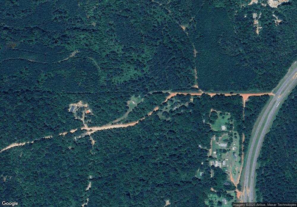
Map
Nearby Homes
- 662 Red Hill Rd
- 1138 Red Hill Rd
- 0 Loven Mill Rd
- 266 +/- AC Loven Mill Rd
- 0 Peach Orchard Rd
- 10200 U S Highway 280
- 0 Arthur King Rd Unit 26579210
- 0 Broad St Unit 10460253
- 213 Broad St
- 535 Hamilton St
- 986 Alston St
- 124 Phillips St
- 000 Broad St
- 667 Alston St
- 48 Jones St
- 0 Firetower Rd Unit 10689976
- 0 Firetower Rd Unit 227938
- 00 0 St
- 0 Street 0 St
- 0 Louise Bell Rd
- 8804 Ga Highway 520
- 230 Brooklyn Cir
- 296 Brooklyn Cir
- 145 Brooklyn Cir
- 309 Brooklyn Cir
- 316 Brooklyn Cir
- 344 Brooklyn Cir
- 69 Brooklyn Cir
- 404 Brooklyn Cir
- 4452 Ga Highway 520
- 4387 Buddy Boy Thornton Rd
- 4586 Ga Highway 520
- 4247 Buddy Boy Thornton Rd
- 4182 Buddy Boy Thornton Rd
- 4659 Ga Highway 520
- 3582 Ga Highway 520
- 3488 Ga Highway 520
Your Personal Tour Guide
Ask me questions while you tour the home.