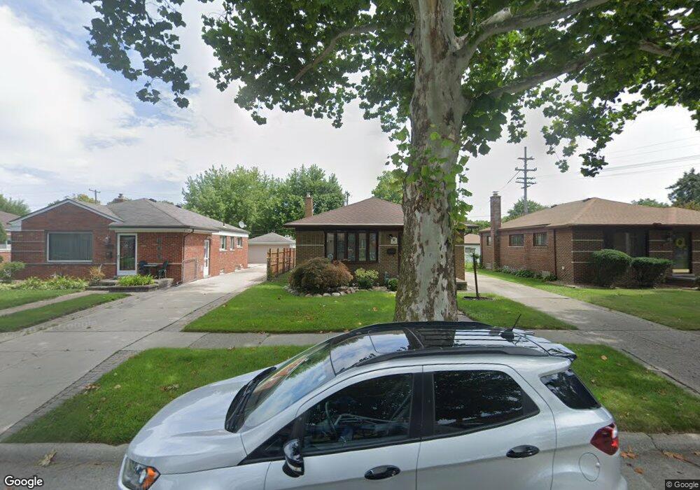
8739 Huron St Taylor, MI 48180
Estimated Value: $181,071 - $221,000
Studio
--
Bath
1,034
Sq Ft
$194/Sq Ft
Est. Value
About This Home
This home is located at 8739 Huron St, Taylor, MI 48180 and is currently estimated at $201,018, approximately $194 per square foot. 8739 Huron St is a home located in Wayne County with nearby schools including Blair Moody Elementary School, Robert J. West Middle School, and Cabrini Elementary & Middle School.
Ownership History
Date
Name
Owned For
Owner Type
Purchase Details
Closed on
Aug 16, 2016
Sold by
Estes Douglas A and Estes Sarah Ann
Bought by
Weiss Evelyn
Current Estimated Value
Home Financials for this Owner
Home Financials are based on the most recent Mortgage that was taken out on this home.
Original Mortgage
$98,188
Outstanding Balance
$80,231
Interest Rate
4.25%
Mortgage Type
FHA
Estimated Equity
$120,787
Purchase Details
Closed on
Jul 28, 2006
Sold by
Phillips Marlin L and Phillips Betty
Bought by
Estes Douglas A
Create a Home Valuation Report for This Property
The Home Valuation Report is an in-depth analysis detailing your home's value as well as a comparison with similar homes in the area
Home Values in the Area
Average Home Value in this Area
Purchase History
| Date | Buyer | Sale Price | Title Company |
|---|---|---|---|
| Weiss Evelyn | $100,000 | First American Title Ins Co | |
| Estes Douglas A | $108,150 | Minnesota Title Agency |
Source: Public Records
Mortgage History
| Date | Status | Borrower | Loan Amount |
|---|---|---|---|
| Open | Weiss Evelyn | $98,188 |
Source: Public Records
Tax History
| Year | Tax Paid | Tax Assessment Tax Assessment Total Assessment is a certain percentage of the fair market value that is determined by local assessors to be the total taxable value of land and additions on the property. | Land | Improvement |
|---|---|---|---|---|
| 2025 | $2,183 | $92,000 | $0 | $0 |
| 2024 | $2,113 | $88,000 | $0 | $0 |
| 2023 | $2,515 | $77,500 | $0 | $0 |
| 2022 | $2,017 | $68,500 | $0 | $0 |
| 2021 | $2,214 | $61,600 | $0 | $0 |
| 2020 | $2,191 | $58,900 | $0 | $0 |
| 2019 | $219,111 | $50,900 | $0 | $0 |
| 2018 | $1,732 | $40,600 | $0 | $0 |
| 2017 | $925 | $39,600 | $0 | $0 |
| 2016 | $1,926 | $38,500 | $0 | $0 |
| 2015 | $3,530 | $35,300 | $0 | $0 |
| 2013 | $3,520 | $35,900 | $0 | $0 |
| 2012 | $1,557 | $35,500 | $10,200 | $25,300 |
Source: Public Records
Map
Nearby Homes
- 20548 Lockwood St
- 8281 Huron St
- 8711 Jackson St
- 20234 Champaign St
- 9134 Weddel St
- 9127 Weddel St
- 7972 Hipp St
- 20812 Wick Rd
- 7854 Jackson St
- 21059 Wick Rd
- 9444 Polk St
- 8953 William St
- 7580 Mayfair St
- 8944 William St
- 7882 Campbell St
- 18650 Grey Ave
- 7124 Weddel St
- 7179 Ziegler St
- 8411 Monroe Blvd
- 7120 Jackson St
Your Personal Tour Guide
Ask me questions while you tour the home.