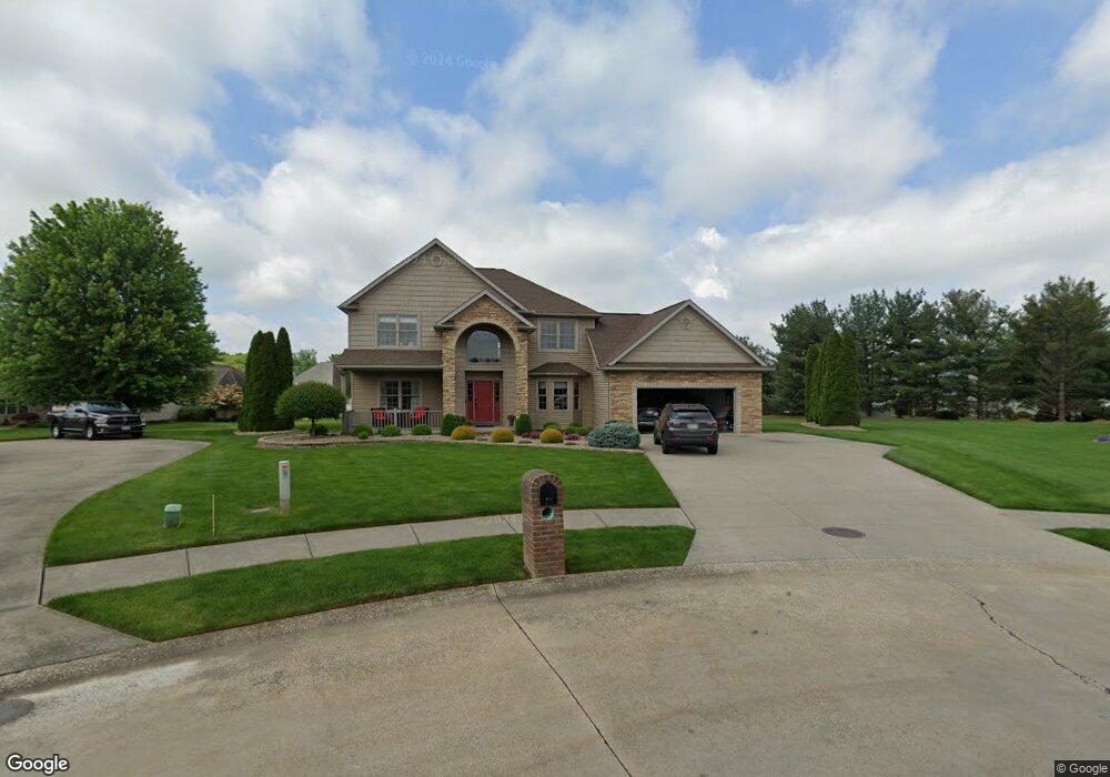
874 Laurel Cir Barberton, OH 44203
East Barberton NeighborhoodEstimated Value: $426,000 - $450,000
4
Beds
3
Baths
2,816
Sq Ft
$155/Sq Ft
Est. Value
About This Home
This home is located at 874 Laurel Cir, Barberton, OH 44203 and is currently estimated at $436,867, approximately $155 per square foot. 874 Laurel Cir is a home located in Summit County with nearby schools including Barberton Intermediate School 3-5, Barberton Middle School, and Barberton High School.
Ownership History
Date
Name
Owned For
Owner Type
Purchase Details
Closed on
Feb 13, 2007
Sold by
Helen Scott Custom Builders Inc
Bought by
Dobbins Donald C and Dobbins Maria T
Current Estimated Value
Home Financials for this Owner
Home Financials are based on the most recent Mortgage that was taken out on this home.
Original Mortgage
$335,000
Outstanding Balance
$201,875
Interest Rate
6.27%
Mortgage Type
Purchase Money Mortgage
Estimated Equity
$234,992
Purchase Details
Closed on
Apr 26, 2006
Sold by
Austin Village Development Inc
Bought by
Helen Scott Custom Builders Inc
Create a Home Valuation Report for This Property
The Home Valuation Report is an in-depth analysis detailing your home's value as well as a comparison with similar homes in the area
Home Values in the Area
Average Home Value in this Area
Purchase History
| Date | Buyer | Sale Price | Title Company |
|---|---|---|---|
| Dobbins Donald C | $58,100 | Approved Statewide Title | |
| Helen Scott Custom Builders Inc | $53,900 | Johnson & Parrish Title Agen |
Source: Public Records
Mortgage History
| Date | Status | Borrower | Loan Amount |
|---|---|---|---|
| Open | Dobbins Donald C | $335,000 |
Source: Public Records
Tax History Compared to Growth
Tax History
| Year | Tax Paid | Tax Assessment Tax Assessment Total Assessment is a certain percentage of the fair market value that is determined by local assessors to be the total taxable value of land and additions on the property. | Land | Improvement |
|---|---|---|---|---|
| 2025 | $6,093 | $121,867 | $20,251 | $101,616 |
| 2024 | $6,093 | $121,867 | $20,251 | $101,616 |
| 2023 | $6,093 | $121,867 | $20,251 | $101,616 |
| 2022 | $5,295 | $91,767 | $15,229 | $76,538 |
| 2021 | $5,290 | $91,767 | $15,229 | $76,538 |
| 2020 | $5,177 | $91,770 | $15,230 | $76,540 |
| 2019 | $5,465 | $87,750 | $21,470 | $66,280 |
| 2018 | $5,382 | $87,750 | $21,470 | $66,280 |
| 2017 | $5,452 | $87,750 | $21,470 | $66,280 |
| 2016 | $5,464 | $87,750 | $21,470 | $66,280 |
| 2015 | $5,452 | $87,750 | $21,470 | $66,280 |
| 2014 | $5,423 | $87,750 | $21,470 | $66,280 |
| 2013 | $5,327 | $89,270 | $21,470 | $67,800 |
Source: Public Records
Map
Nearby Homes
- 986 S Azalea Blvd
- 369 Big Bend Cir
- 861 Wisteria Dr
- 1110 Mansion Dr
- 579 Glenmere Place
- 588 Austin Dr
- 311 Holly Place
- 901 Robinson Ave
- 303 Spruce St
- 3539 Potts Dr
- 1742 Turkeyfoot Lake Rd
- 251 Slate Ridge Dr
- 713 E State St
- 4393 Hilltop Dr
- 315 Kreider Ave
- 1020 Robinson Ave
- 477 Robinson Ave
- 4034 Manchester Rd
- 4134 Lake Vista Rd
- 870 Sail Dr
- 882 Laurel Cir
- 875 Laurel Cir
- 861 Meadowood Dr
- 859 Thornwood Dr
- 871 Meadowood Dr
- 860 Mesa Verde Dr
- 879 Meadowood Dr
- 868 Mesa Verde Dr
- 848 Mesa Verde Dr
- 867 Thornwood Dr
- 888 Laurel Cir
- 889 Laurel Cir
- 881 Laurel Cir
- 878 Mesa Verde Dr
- 887 Meadowood Dr
- 898 Laurel Cir
- 897 Laurel Cir
- 897 Meadowood Dr
- 866 Meadowood Dr
- 858 Meadowood Dr