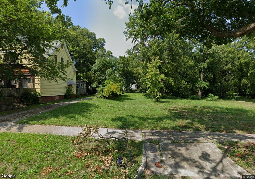
874 W Packard St Decatur, IL 62522
Garfield Park NeighborhoodEstimated Value: $42,000
2
Beds
1
Bath
1,616
Sq Ft
$26/Sq Ft
Est. Value
About This Home
This home is located at 874 W Packard St, Decatur, IL 62522 and is currently priced at $42,000, approximately $25 per square foot. 874 W Packard St is a home located in Macon County with nearby schools including Stephen Decatur Middle School, St. Patrick School, and Teen Challenge-Home For Girls.
Ownership History
Date
Name
Owned For
Owner Type
Purchase Details
Closed on
Sep 14, 2021
Sold by
Macon County
Bought by
City Of Decatur
Current Estimated Value
Purchase Details
Closed on
Oct 15, 2020
Sold by
Macon County Clerk
Bought by
Macon County
Purchase Details
Closed on
Sep 28, 2007
Sold by
Moore Laverne E and Moore Virginia M
Bought by
Flesch Patsy M
Home Financials for this Owner
Home Financials are based on the most recent Mortgage that was taken out on this home.
Original Mortgage
$18,500
Interest Rate
6.66%
Mortgage Type
New Conventional
Create a Home Valuation Report for This Property
The Home Valuation Report is an in-depth analysis detailing your home's value as well as a comparison with similar homes in the area
Home Values in the Area
Average Home Value in this Area
Purchase History
| Date | Buyer | Sale Price | Title Company |
|---|---|---|---|
| City Of Decatur | -- | None Available | |
| Macon County | -- | None Available | |
| Flesch Patsy M | $18,500 | None Available |
Source: Public Records
Mortgage History
| Date | Status | Borrower | Loan Amount |
|---|---|---|---|
| Previous Owner | Flesch Patsy M | $18,500 |
Source: Public Records
Tax History Compared to Growth
Tax History
| Year | Tax Paid | Tax Assessment Tax Assessment Total Assessment is a certain percentage of the fair market value that is determined by local assessors to be the total taxable value of land and additions on the property. | Land | Improvement |
|---|---|---|---|---|
| 2024 | -- | $0 | $0 | $0 |
| 2023 | -- | $0 | $0 | $0 |
| 2022 | $0 | $0 | $0 | $0 |
| 2021 | $0 | $72 | $36 | $36 |
| 2020 | $0 | $0 | $0 | $0 |
| 2019 | $551 | $5,184 | $350 | $4,834 |
| 2018 | $596 | $5,677 | $288 | $5,389 |
| 2017 | $611 | $5,829 | $296 | $5,533 |
| 2016 | $622 | $5,888 | $299 | $5,589 |
| 2015 | $591 | $5,784 | $294 | $5,490 |
| 2014 | $523 | $5,414 | $222 | $5,192 |
| 2013 | -- | $5,617 | $230 | $5,387 |
Source: Public Records
Map
Nearby Homes
- 837 W Grand Ave
- 1545 N Monroe St
- 1504 N Monroe St
- 1065 W Green St
- 875 N Monroe St
- 933 W Division St
- 1245 N Union St
- 415 W Green St
- 844 N Edward St
- 1653 N Maple Ave
- 644 W Division St
- 925 W Olive St
- 917 N Wilder Ave
- 1458 N Union St
- 1319 W Waggoner St
- 958 W William St
- 141 E Packard St
- 1915 N Monroe St
- 254 N Pine St
- 609 W William St
- 880 W Packard St
- 868 W Packard St
- 860 W Packard St
- 884 W Packard St
- 846 W Packard St
- 844 W Packard St
- 1128 N Van Dyke St
- 896 W Packard St
- 853 W Packard St
- 867 W Packard St
- 855 W Packard St
- 836 W Packard St
- 877 W Leafland Ave
- 885 W Leafland Ave
- 875 W Packard St
- 893 W Leafland Ave
- 895 W Leafland Ave
- 849 W Leafland Ave
- 828 W Packard St
- 885 W Packard St