874 Westwind Dr New Lenox, IL 60451
Estimated Value: $475,278 - $520,000
4
Beds
3
Baths
--
Sq Ft
--
Built
About This Home
This home is located at 874 Westwind Dr, New Lenox, IL 60451 and is currently estimated at $505,570. 874 Westwind Dr is a home located in Will County with nearby schools including Spencer Trail, Spencer Pointe, and Spencer Crossing Intermediate School.
Ownership History
Date
Name
Owned For
Owner Type
Purchase Details
Closed on
Sep 23, 1999
Sold by
Nlsb
Bought by
Bockwoldt Keith and Bockwoldt Linda
Current Estimated Value
Home Financials for this Owner
Home Financials are based on the most recent Mortgage that was taken out on this home.
Original Mortgage
$125,000
Outstanding Balance
$37,371
Interest Rate
7.93%
Estimated Equity
$468,199
Create a Home Valuation Report for This Property
The Home Valuation Report is an in-depth analysis detailing your home's value as well as a comparison with similar homes in the area
Home Values in the Area
Average Home Value in this Area
Purchase History
| Date | Buyer | Sale Price | Title Company |
|---|---|---|---|
| Bockwoldt Keith | $209,000 | -- |
Source: Public Records
Mortgage History
| Date | Status | Borrower | Loan Amount |
|---|---|---|---|
| Open | Bockwoldt Keith | $125,000 |
Source: Public Records
Tax History Compared to Growth
Tax History
| Year | Tax Paid | Tax Assessment Tax Assessment Total Assessment is a certain percentage of the fair market value that is determined by local assessors to be the total taxable value of land and additions on the property. | Land | Improvement |
|---|---|---|---|---|
| 2024 | $11,597 | $150,906 | $36,393 | $114,513 |
| 2023 | $11,597 | $137,562 | $33,175 | $104,387 |
| 2022 | $10,446 | $126,727 | $30,562 | $96,165 |
| 2021 | $9,919 | $119,183 | $28,743 | $90,440 |
| 2020 | $9,639 | $114,930 | $27,717 | $87,213 |
| 2019 | $9,227 | $111,367 | $26,858 | $84,509 |
| 2018 | $9,015 | $107,528 | $25,932 | $81,596 |
| 2017 | $8,568 | $104,436 | $25,186 | $79,250 |
| 2016 | $8,318 | $101,641 | $24,512 | $77,129 |
| 2015 | $8,014 | $98,441 | $23,740 | $74,701 |
| 2014 | $8,014 | $97,226 | $23,447 | $73,779 |
| 2013 | $8,014 | $98,536 | $23,763 | $74,773 |
Source: Public Records
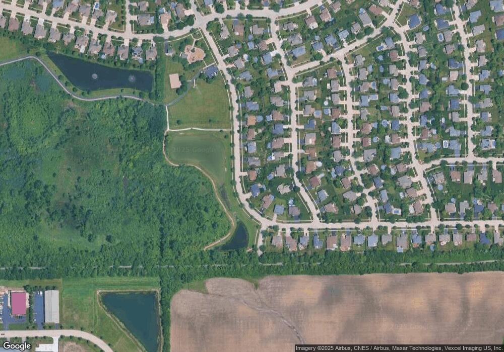
Map
Nearby Homes
- 2758 Bluestone Bay Dr
- 2848 Southwind Dr
- 651 Schooner Dr
- 2667 E Lincoln Hwy
- 21606 Skyway Dr
- 1595 Glenbrooke Ln
- 1591 Glenbrooke Ln
- 1587 Glenbrooke Ln
- 1583 Glenbrooke Ln
- 1579 Glenbrooke Bldg 60 Ln
- 701 Bishops Gate
- 190 Pottawatomie Ln
- 641 Lisson Grove
- 1738 Orchard Ln
- 21359 Saddle Ln
- Avalon Plan at Leigh Creek - Townhome
- Hampton Plan at Leigh Creek - Townhome
- 1515 Glenbrooke Ln
- 1781 Orchard Ln
- 1535 Glenbrooke Ln
- 874 Westwind Dr Unit 2
- 880 Westwind Dr
- 868 Westwind Dr
- 873 Brigantine Dr
- 860 Westwind Dr
- 888 Westwind Dr
- 867 Brigantine Dr
- 881 Brigantine Dr
- 859 Brigantine Dr
- 2631 Southwind Dr
- 853 Brigantine Dr
- 2667 Southwind Dr
- 846 Westwind Dr
- 874 Brigantine Dr
- 882 Brigantine Dr
- 845 Brigantine Dr
- 858 Brigantine Dr
- 840 Westwind Dr
- 2630 Southwind Dr
- 890 Brigantine Dr