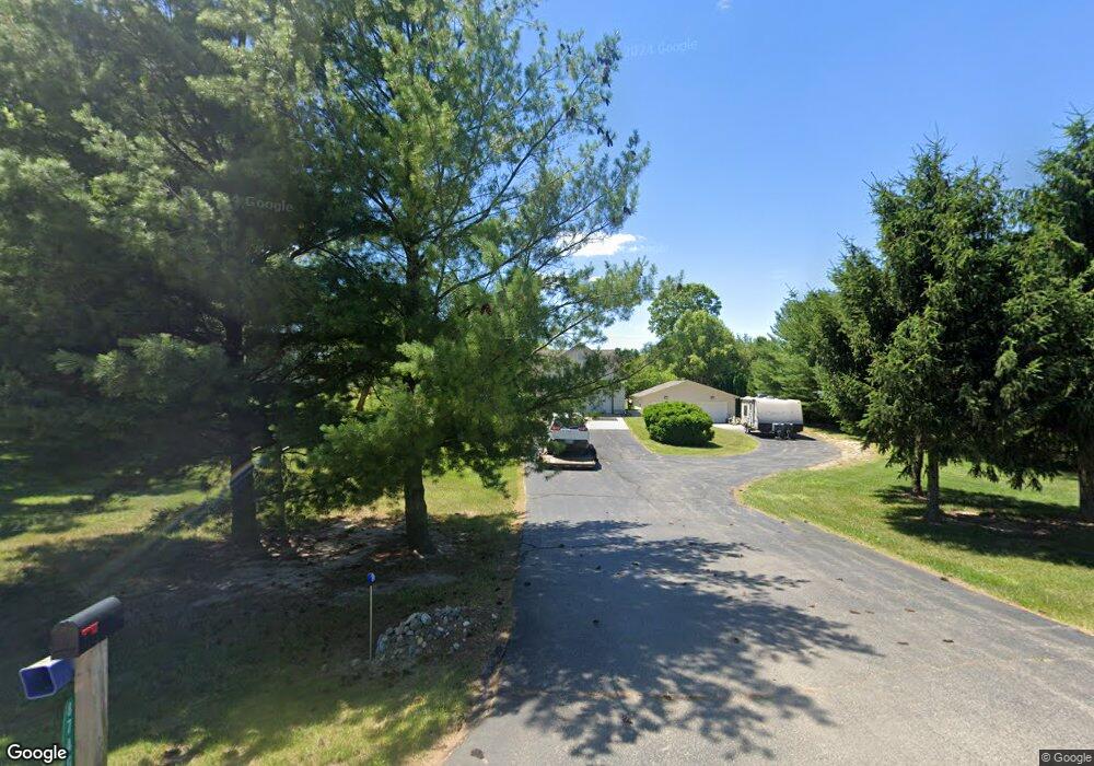
8740 Hollister Rd Laingsburg, MI 48848
Estimated Value: $348,000 - $389,000
4
Beds
3
Baths
1,236
Sq Ft
$293/Sq Ft
Est. Value
About This Home
This home is located at 8740 Hollister Rd, Laingsburg, MI 48848 and is currently estimated at $361,786, approximately $292 per square foot. 8740 Hollister Rd is a home located in Clinton County with nearby schools including Laingsburg Elementary School, Laingsburg Middle School, and Laingsburg High School.
Ownership History
Date
Name
Owned For
Owner Type
Purchase Details
Closed on
Jul 14, 2005
Sold by
Fannie Mae
Bought by
Halm Steven S and Halm Michele R
Current Estimated Value
Home Financials for this Owner
Home Financials are based on the most recent Mortgage that was taken out on this home.
Original Mortgage
$175,650
Outstanding Balance
$91,810
Interest Rate
5.68%
Mortgage Type
Fannie Mae Freddie Mac
Estimated Equity
$269,976
Purchase Details
Closed on
Sep 23, 2004
Sold by
Hebrink Leon and Hebrink Mary Ann
Bought by
Federal National Mortgage Association
Create a Home Valuation Report for This Property
The Home Valuation Report is an in-depth analysis detailing your home's value as well as a comparison with similar homes in the area
Home Values in the Area
Average Home Value in this Area
Purchase History
| Date | Buyer | Sale Price | Title Company |
|---|---|---|---|
| Halm Steven S | $184,900 | Fatic | |
| Federal National Mortgage Association | $256,632 | -- |
Source: Public Records
Mortgage History
| Date | Status | Borrower | Loan Amount |
|---|---|---|---|
| Open | Halm Steven S | $175,650 |
Source: Public Records
Tax History Compared to Growth
Tax History
| Year | Tax Paid | Tax Assessment Tax Assessment Total Assessment is a certain percentage of the fair market value that is determined by local assessors to be the total taxable value of land and additions on the property. | Land | Improvement |
|---|---|---|---|---|
| 2025 | $3,888 | $177,700 | $20,100 | $157,600 |
| 2024 | $1,358 | $166,500 | $18,300 | $148,200 |
| 2023 | $1,286 | $144,000 | $0 | $0 |
| 2022 | $3,531 | $132,300 | $14,700 | $117,600 |
| 2021 | $3,319 | $124,200 | $13,200 | $111,000 |
| 2020 | $3,093 | $115,100 | $11,600 | $103,500 |
| 2019 | $3,106 | $109,300 | $11,600 | $97,700 |
| 2018 | $2,630 | $98,800 | $10,600 | $88,200 |
| 2017 | $2,600 | $98,200 | $10,600 | $87,600 |
| 2016 | $2,517 | $89,900 | $10,600 | $79,300 |
| 2015 | $2,496 | $89,800 | $0 | $0 |
| 2011 | -- | $89,300 | $0 | $0 |
Source: Public Records
Map
Nearby Homes
- 9457 S Hollister Rd
- 8630 S Meridian Rd
- 7599 Alward Rd
- 780 N West St
- 702 N Oakland Dr
- 9195 Westchester Dr
- 106 Phelps St
- V/L W 2nd St N
- 7370 Cross Creek Dr
- 407 S Woodhull Rd
- 302 N Shiawassee St
- V/L Victoria Shore Dr
- 0 Peninsula Way
- 9050 Laingsburg Rd
- 6480 Meridian Rd
- Parcel B S Hollister Rd
- 0 Doyle Rd Unit 291996
- 11315 Tamarack Trail
- Parcel 1 Alward Rd
- Parcel 2 Alward Rd
- 8700 Hollister Rd
- 8758 Hollister Rd
- 8753 Hollister Rd
- 8584 Hollister Rd
- 8743 Hollister Rd
- 0 Hollister Rd
- 8845 Hollister Rd
- 8576 Hollister Rd
- 8579 Hollister Rd
- 0 Parcel C Hollister Rd
- 8568 Hollister Rd
- 8885 Hollister Rd
- 0 Parcel D Hollister Rd
- 8925 Hollister Rd
- 8555 Hollister Rd
- 8955 Hollister Rd
- 8955 Hollister Rd
- 8900 Alward Rd
- 8856 Hollister Rd
- 8720 Alward Rd