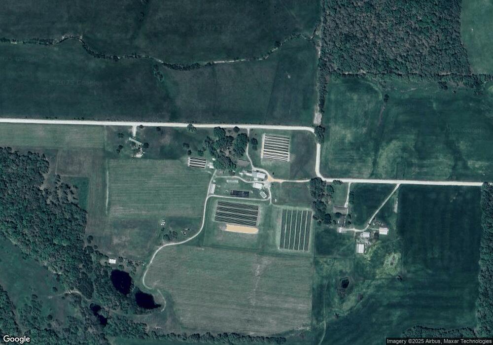
8748 Simpson Rd Mountain Grove, MO 65711
Estimated Value: $259,000 - $367,295
3
Beds
--
Bath
1,644
Sq Ft
$187/Sq Ft
Est. Value
About This Home
This home is located at 8748 Simpson Rd, Mountain Grove, MO 65711 and is currently estimated at $307,098, approximately $186 per square foot. 8748 Simpson Rd is a home with nearby schools including Mountain Grove Elementary School, Mountain Grove Middle School, and Mountain Grove High School.
Ownership History
Date
Name
Owned For
Owner Type
Purchase Details
Closed on
Sep 12, 2023
Sold by
Simpson Wayne
Bought by
Simpson Wayne and French Deborah
Current Estimated Value
Create a Home Valuation Report for This Property
The Home Valuation Report is an in-depth analysis detailing your home's value as well as a comparison with similar homes in the area
Home Values in the Area
Average Home Value in this Area
Purchase History
| Date | Buyer | Sale Price | Title Company |
|---|---|---|---|
| Simpson Wayne | -- | None Listed On Document | |
| Simpson Wayne | -- | None Listed On Document | |
| Simpson Wayne | -- | None Listed On Document |
Source: Public Records
Tax History Compared to Growth
Tax History
| Year | Tax Paid | Tax Assessment Tax Assessment Total Assessment is a certain percentage of the fair market value that is determined by local assessors to be the total taxable value of land and additions on the property. | Land | Improvement |
|---|---|---|---|---|
| 2024 | $8 | $26,980 | $0 | $0 |
| 2023 | $845 | $26,980 | $0 | $0 |
| 2022 | $790 | $24,860 | $0 | $0 |
| 2021 | $778 | $24,860 | $0 | $0 |
| 2020 | $702 | $22,120 | $0 | $0 |
| 2019 | $705 | $22,120 | $0 | $0 |
| 2018 | $718 | $22,530 | $0 | $0 |
| 2017 | $711 | $22,170 | $0 | $0 |
| 2016 | $729 | $23,010 | $0 | $0 |
| 2015 | -- | $25,990 | $0 | $0 |
| 2013 | -- | $25,990 | $0 | $0 |
Source: Public Records
Map
Nearby Homes
- 000 Girlstown Rd
- 5581 Highway 95
- 5581 Missouri 95
- 9551 M- Highway Ff
- 9551 Highway Ff
- 9551 C-Highway Ff
- 000 M-Girlstown Rd
- 3894 Girlstown Rd
- 4312 County Line Rd
- 4720 Highway 95
- 000 County Line Rd
- 4811 Hwy Mm
- 000 N Hwy
- 2978 Timberline Ln
- 2706 Town Dr
- 2702 Town Dr
- 9221 State Route N
- 9221 Highway N
- 2606 Country Dr
- 2606 M-Country Dr
- 8850 Simpson Rd
- 4915 Highway 95
- 4820 Highway 95
- 3772 Highway 95 Unit 95
- 3772 Highway 95
- 4780 Highway 95
- 4850 Highway 95
- 4641 Highway 95
- 4678 Highway 95
- 4890 Highway 95
- 4930 Highway 95
- 00 N Highway 95
- 00 M- North Highway 95
- 0 M- North Highway 95 Unit MAR24072309
- 4953 Highway 95
- 4902 Missouri 95
- 9019 Holly Ln
- 4902 Highway 95
- 4902 Highway 95
- 4954 Highway 95
