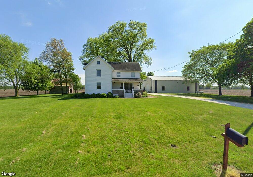
8748 W 2000n Rd Bonfield, IL 60913
Estimated Value: $242,000 - $294,000
--
Bed
--
Bath
--
Sq Ft
2.06
Acres
About This Home
This home is located at 8748 W 2000n Rd, Bonfield, IL 60913 and is currently estimated at $278,429. 8748 W 2000n Rd is a home located in Kankakee County with nearby schools including Herscher High School.
Ownership History
Date
Name
Owned For
Owner Type
Purchase Details
Closed on
Dec 15, 2021
Sold by
Scanlon Lucas D
Bought by
Scanlon Lucas D and Scanlon Jillian M
Current Estimated Value
Home Financials for this Owner
Home Financials are based on the most recent Mortgage that was taken out on this home.
Original Mortgage
$168,000
Outstanding Balance
$154,803
Interest Rate
3.25%
Mortgage Type
New Conventional
Estimated Equity
$123,626
Purchase Details
Closed on
Jun 11, 2014
Sold by
Federal Hm Ln Mtg Corp
Bought by
Scanlon Lucas
Create a Home Valuation Report for This Property
The Home Valuation Report is an in-depth analysis detailing your home's value as well as a comparison with similar homes in the area
Home Values in the Area
Average Home Value in this Area
Purchase History
| Date | Buyer | Sale Price | Title Company |
|---|---|---|---|
| Scanlon Lucas D | -- | Homestar Title | |
| Scanlon Lucas | $129,900 | Central Illinois Title |
Source: Public Records
Mortgage History
| Date | Status | Borrower | Loan Amount |
|---|---|---|---|
| Open | Scanlon Lucas D | $168,000 | |
| Closed | Scanlon Lucas | $94,900 |
Source: Public Records
Tax History Compared to Growth
Tax History
| Year | Tax Paid | Tax Assessment Tax Assessment Total Assessment is a certain percentage of the fair market value that is determined by local assessors to be the total taxable value of land and additions on the property. | Land | Improvement |
|---|---|---|---|---|
| 2024 | $5,185 | $79,839 | $6,798 | $73,041 |
| 2023 | $4,727 | $71,605 | $6,097 | $65,508 |
| 2022 | $4,349 | $64,948 | $5,530 | $59,418 |
| 2021 | $4,094 | $59,764 | $5,089 | $54,675 |
| 2020 | $4,091 | $59,026 | $5,026 | $54,000 |
| 2019 | $1,952 | $31,102 | $5,026 | $26,076 |
| 2018 | $1,954 | $31,102 | $5,026 | $26,076 |
| 2017 | $1,931 | $30,568 | $4,940 | $25,628 |
| 2016 | $1,871 | $29,678 | $4,796 | $24,882 |
| 2015 | $1,701 | $28,400 | $4,589 | $23,811 |
| 2014 | $1,621 | $27,572 | $4,455 | $23,117 |
| 2013 | -- | $28,063 | $4,534 | $23,529 |
Source: Public Records
Map
Nearby Homes
- 0 W 3000 Rd N Unit 23921814
- 2414 N 7000w Rd
- 1359 N 7000 Rd W
- 10561 W State Route 17
- 5101 W 1000n Rd
- 5690 W State Route 17
- 5285 W State Route 17 Unit A
- 12710 W 1000n Rd
- 4500 N 12000 Rd W
- 4600 N 12000 Rd W
- 17661 Illinois 113
- 4751 N 5500w Rd
- 37150 S Macks Rd
- 4914 W State Route 113
- 19542 Bauer Rd
- 37215 Darby Rd
- 3842 Stone Oaks Dr
- 4052 Foxborough Dr
- 4020 Foxborough Dr
- 3267 Edgewater Dr
- 8748 W 2000 Rd N
- 8673 W 2000n Rd
- 0 N 9000w Rd
- 519 E Smith St
- 375 N 9000w Rd
- 523 E Smith St
- 465 E Smith St
- 453 E Smith St
- 451 E Smith St
- 8396 W 2000n Rd
- 521 Snipe Run Dr
- 424 W Smith St
- 425 E Smith St
- 381 E Smith St
- 164 N Alyssa Ave
- 180 N Alyssa Ave
- 522 Snipe Run Dr
- 133 N Alyssa Ave
- 424 E Croswell Ave
- 365 E Smith St