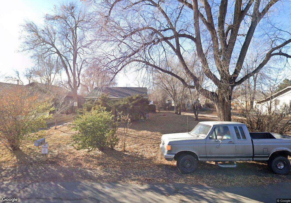
875 Depew St Lakewood, CO 80214
Two Creeks NeighborhoodEstimated Value: $527,024 - $797,000
4
Beds
2
Baths
1,427
Sq Ft
$450/Sq Ft
Est. Value
About This Home
This home is located at 875 Depew St, Lakewood, CO 80214 and is currently estimated at $642,006, approximately $449 per square foot. 875 Depew St is a home located in Jefferson County with nearby schools including Molholm Elementary School, Lumberg Elementary School, and Jefferson High School.
Ownership History
Date
Name
Owned For
Owner Type
Purchase Details
Closed on
Jan 3, 2023
Sold by
Keller Willa D
Bought by
Keller Willa Dean
Current Estimated Value
Purchase Details
Closed on
Mar 12, 2008
Sold by
Massey Mona A and Keller Willa Dee
Bought by
Keller Willa D
Purchase Details
Closed on
Dec 19, 1996
Sold by
Pastine Jeffrey P
Bought by
Pastine Jeffrey Paul
Home Financials for this Owner
Home Financials are based on the most recent Mortgage that was taken out on this home.
Original Mortgage
$84,350
Interest Rate
7.6%
Mortgage Type
VA
Create a Home Valuation Report for This Property
The Home Valuation Report is an in-depth analysis detailing your home's value as well as a comparison with similar homes in the area
Home Values in the Area
Average Home Value in this Area
Purchase History
| Date | Buyer | Sale Price | Title Company |
|---|---|---|---|
| Keller Willa Dean | -- | -- | |
| Keller Willa D | -- | None Available | |
| Pastine Jeffrey Paul | -- | Stewart Title |
Source: Public Records
Mortgage History
| Date | Status | Borrower | Loan Amount |
|---|---|---|---|
| Previous Owner | Pastine Jeffrey Paul | $84,350 |
Source: Public Records
Tax History Compared to Growth
Tax History
| Year | Tax Paid | Tax Assessment Tax Assessment Total Assessment is a certain percentage of the fair market value that is determined by local assessors to be the total taxable value of land and additions on the property. | Land | Improvement |
|---|---|---|---|---|
| 2024 | $4,104 | $43,317 | $21,526 | $21,791 |
| 2023 | $4,104 | $43,317 | $21,526 | $21,791 |
| 2022 | $3,063 | $31,644 | $10,072 | $21,572 |
| 2021 | $3,083 | $32,555 | $10,362 | $22,193 |
| 2020 | $2,722 | $28,969 | $9,324 | $19,645 |
| 2019 | $2,682 | $28,969 | $9,324 | $19,645 |
| 2018 | $2,276 | $23,673 | $7,421 | $16,252 |
| 2017 | $2,010 | $23,673 | $7,421 | $16,252 |
| 2016 | $1,968 | $21,549 | $7,340 | $14,209 |
| 2015 | $1,574 | $21,549 | $7,340 | $14,209 |
| 2014 | $1,574 | $15,761 | $7,650 | $8,111 |
Source: Public Records
Map
Nearby Homes
- 903 Sheridan Blvd
- 5642 W 10th Place
- 5701 W 10th Ave
- 5530 W 11th Place
- 5401 W 10th Ave
- 5531 W 11th Place
- 860 Zenobia St
- 915 Yates St
- 990 Ingalls St
- 701 Harlan St Unit 53
- 701 Harlan St Unit 27
- 4925 W 10th Ave Unit 111
- 985 Xavier St
- 5645 W 5th Ave Unit 5645 & 5655
- 800 Kendall St
- 4903 W 11th Ave
- 4901 W 11th Ave Unit 4905
- 1230 Zenobia St Unit 11
- 4821 W 10th Ave Plan at
- 4831 W 10th Ave