875 Rattlesnake Rd - Gillette, WY 82718
Estimated Value: $521,000 - $876,000
5
Beds
3
Baths
15,024
Sq Ft
$43/Sq Ft
Est. Value
About This Home
This home is located at 875 Rattlesnake Rd -, Gillette, WY 82718 and is currently estimated at $650,678, approximately $43 per square foot. 875 Rattlesnake Rd - is a home located in Campbell County with nearby schools including Westwood High School, Conestoga Elementary School, and Sage Valley Junior High School.
Ownership History
Date
Name
Owned For
Owner Type
Purchase Details
Closed on
Mar 21, 2023
Sold by
Secretary/Housing & Urban Dev
Bought by
Aiken Patricia and Cope Darren
Current Estimated Value
Home Financials for this Owner
Home Financials are based on the most recent Mortgage that was taken out on this home.
Original Mortgage
$471,451
Outstanding Balance
$457,908
Interest Rate
6.62%
Mortgage Type
FHA
Estimated Equity
$192,770
Purchase Details
Closed on
Nov 17, 2021
Sold by
Meade Delores W
Bought by
Secretary Of Housing And Urban Development
Purchase Details
Closed on
May 30, 2006
Sold by
Clark Donald L and Clark Carol Anne
Bought by
Meade Delores W and Meade John T
Home Financials for this Owner
Home Financials are based on the most recent Mortgage that was taken out on this home.
Original Mortgage
$327,000
Interest Rate
6.58%
Mortgage Type
New Conventional
Create a Home Valuation Report for This Property
The Home Valuation Report is an in-depth analysis detailing your home's value as well as a comparison with similar homes in the area
Home Values in the Area
Average Home Value in this Area
Purchase History
| Date | Buyer | Sale Price | Title Company |
|---|---|---|---|
| Aiken Patricia | -- | None Listed On Document | |
| Secretary Of Housing And Urban Development | -- | None Listed On Document | |
| Meade Delores W | -- | None Available |
Source: Public Records
Mortgage History
| Date | Status | Borrower | Loan Amount |
|---|---|---|---|
| Open | Aiken Patricia | $471,451 | |
| Previous Owner | Meade Delores W | $327,000 |
Source: Public Records
Tax History Compared to Growth
Tax History
| Year | Tax Paid | Tax Assessment Tax Assessment Total Assessment is a certain percentage of the fair market value that is determined by local assessors to be the total taxable value of land and additions on the property. | Land | Improvement |
|---|---|---|---|---|
| 2025 | $3,403 | $38,169 | $4,617 | $33,552 |
| 2024 | $3,403 | $54,608 | $5,919 | $48,689 |
| 2023 | $2,200 | $35,286 | $5,919 | $29,367 |
| 2022 | $3,107 | $49,665 | $5,919 | $43,746 |
| 2021 | $2,537 | $42,130 | $5,919 | $36,211 |
| 2020 | $2,556 | $42,552 | $5,268 | $37,284 |
| 2019 | $2,528 | $42,188 | $5,228 | $36,960 |
| 2018 | $2,462 | $41,303 | $5,228 | $36,075 |
| 2017 | $2,616 | $43,989 | $5,228 | $38,761 |
| 2016 | $2,539 | $42,634 | $5,228 | $37,406 |
| 2015 | -- | $42,317 | $5,228 | $37,089 |
| 2014 | -- | $42,721 | $5,228 | $37,493 |
Source: Public Records
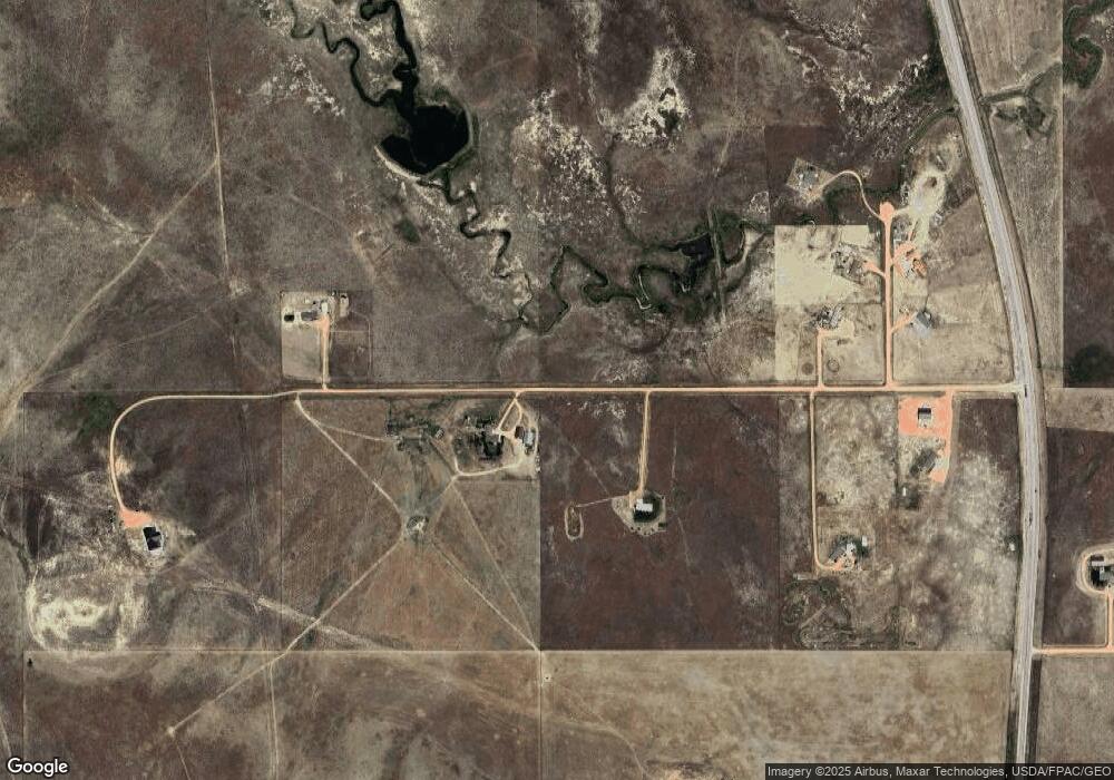
Map
Nearby Homes
- 8969 State Highway 59 S
- Lot 6 Moonshiner Ln
- 0 Highway 59 S Unit 25-2821
- Tbd Sky Dog Rd
- 10326 Wyoming 59
- 306 Willow Creek Dr
- 301 Shadow Hill Ln -
- 307 Bozeman Way
- 410 Cambria Ct
- 310 & 312 Charcoal Ct
- 412 Range Cir
- 422 Sundance Cir -
- 431 Sundance Cir
- 14872 Wyoming 387
- 1 Levi Rd
- 10 Levi Rd
- 10621 Wy-59
- 10627 Wyoming 59
- Lot 13 Shiplap Spur
- 31 Thomas Paine Rd