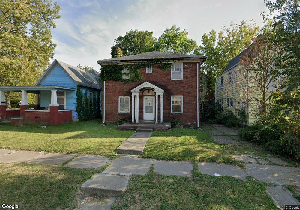
875 W Decatur St Decatur, IL 62522
Near West NeighborhoodEstimated Value: $45,201 - $55,000
4
Beds
1
Bath
2,688
Sq Ft
$19/Sq Ft
Est. Value
About This Home
This home is located at 875 W Decatur St, Decatur, IL 62522 and is currently estimated at $51,300, approximately $19 per square foot. 875 W Decatur St is a home located in Macon County with nearby schools including Dennis Lab School, St. Patrick School, and Teen Challenge-Home For Girls.
Ownership History
Date
Name
Owned For
Owner Type
Purchase Details
Closed on
Jul 22, 2011
Sold by
Livington Malacom J and Livington David C
Bought by
Livingston Malcolm J and Livingston David C
Current Estimated Value
Home Financials for this Owner
Home Financials are based on the most recent Mortgage that was taken out on this home.
Original Mortgage
$75,000
Interest Rate
4.52%
Mortgage Type
New Conventional
Create a Home Valuation Report for This Property
The Home Valuation Report is an in-depth analysis detailing your home's value as well as a comparison with similar homes in the area
Home Values in the Area
Average Home Value in this Area
Purchase History
| Date | Buyer | Sale Price | Title Company |
|---|---|---|---|
| Livingston Malcolm J | -- | Macon County Title Co |
Source: Public Records
Mortgage History
| Date | Status | Borrower | Loan Amount |
|---|---|---|---|
| Closed | Livingston Malcolm J | $75,000 |
Source: Public Records
Tax History Compared to Growth
Tax History
| Year | Tax Paid | Tax Assessment Tax Assessment Total Assessment is a certain percentage of the fair market value that is determined by local assessors to be the total taxable value of land and additions on the property. | Land | Improvement |
|---|---|---|---|---|
| 2024 | $1,522 | $15,727 | $1,131 | $14,596 |
| 2023 | $1,510 | $15,170 | $1,091 | $14,079 |
| 2022 | $856 | $8,369 | $1,009 | $7,360 |
| 2021 | $804 | $7,817 | $943 | $6,874 |
| 2020 | $793 | $7,453 | $899 | $6,554 |
| 2019 | $793 | $7,453 | $899 | $6,554 |
| 2018 | $786 | $7,478 | $902 | $6,576 |
| 2017 | $804 | $7,678 | $926 | $6,752 |
| 2016 | $820 | $7,756 | $935 | $6,821 |
| 2015 | $779 | $7,618 | $918 | $6,700 |
| 2014 | $723 | $7,543 | $909 | $6,634 |
| 2013 | $747 | $7,826 | $943 | $6,883 |
Source: Public Records
Map
Nearby Homes
- 441 S Seigel St
- 899 W Main St
- 657 W Wood St
- 617 W Decatur St
- 612 W Macon St
- 1005 W Main St
- 628 W Forest Ave
- 650 S Crea St
- 717 W Prairie Ave Unit 2
- 437 Powers Ln
- 450 W Macon St
- 254 N Pine St
- 440 W Macon St
- 958 W William St
- 609 W William St
- 530 Powers Ln
- 580 Powers Ln
- 452 W Prairie Ave
- 442 W Prairie Ave
- 233 N Edward St
- 885 W Decatur St
- 863 W Decatur St
- 424 S Boyd St
- 434 S Boyd St
- 837 W Decatur St
- 903 W Decatur St
- 825 W Decatur St
- 911 W Decatur St
- 438 S Boyd St
- 860 W Decatur St
- 870 W Decatur St
- 904 W Decatur St
- 902 W Decatur St
- 919 W Decatur St
- 840 W Decatur St
- 446 S Boyd St
- 437 S Boyd St
- 822 W Decatur St
- 460 S Boyd St
- 441 S Crea St