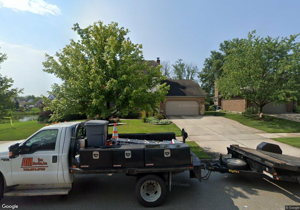
8755 Butterfield Ln Orland Park, IL 60462
Silver Lake North NeighborhoodEstimated Value: $562,063 - $680,000
4
Beds
4
Baths
3,150
Sq Ft
$200/Sq Ft
Est. Value
About This Home
This home is located at 8755 Butterfield Ln, Orland Park, IL 60462 and is currently estimated at $629,516, approximately $199 per square foot. 8755 Butterfield Ln is a home located in Cook County with nearby schools including Palos West Elementary School, Palos South Middle School, and Carl Sandburg High School.
Ownership History
Date
Name
Owned For
Owner Type
Purchase Details
Closed on
Jul 11, 2017
Sold by
Elwood William Francis and Elwood Mary Ann
Bought by
Wieczorek Robert and Wieczorek Kristien
Current Estimated Value
Home Financials for this Owner
Home Financials are based on the most recent Mortgage that was taken out on this home.
Original Mortgage
$389,812
Outstanding Balance
$324,843
Interest Rate
4%
Mortgage Type
VA
Estimated Equity
$304,673
Create a Home Valuation Report for This Property
The Home Valuation Report is an in-depth analysis detailing your home's value as well as a comparison with similar homes in the area
Home Values in the Area
Average Home Value in this Area
Purchase History
| Date | Buyer | Sale Price | Title Company |
|---|---|---|---|
| Wieczorek Robert | $460,000 | Attorney |
Source: Public Records
Mortgage History
| Date | Status | Borrower | Loan Amount |
|---|---|---|---|
| Open | Wieczorek Robert | $389,812 |
Source: Public Records
Tax History Compared to Growth
Tax History
| Year | Tax Paid | Tax Assessment Tax Assessment Total Assessment is a certain percentage of the fair market value that is determined by local assessors to be the total taxable value of land and additions on the property. | Land | Improvement |
|---|---|---|---|---|
| 2024 | $11,722 | $48,000 | $7,750 | $40,250 |
| 2023 | $11,296 | $48,000 | $7,750 | $40,250 |
| 2022 | $11,296 | $37,576 | $6,750 | $30,826 |
| 2021 | $10,557 | $37,576 | $6,750 | $30,826 |
| 2020 | $10,140 | $37,576 | $6,750 | $30,826 |
| 2019 | $10,302 | $39,136 | $6,250 | $32,886 |
| 2018 | $10,043 | $39,136 | $6,250 | $32,886 |
| 2017 | $9,706 | $42,153 | $6,250 | $35,903 |
| 2016 | $9,463 | $37,378 | $5,500 | $31,878 |
| 2015 | $9,335 | $37,378 | $5,500 | $31,878 |
| 2014 | $9,566 | $38,575 | $5,500 | $33,075 |
| 2013 | $7,888 | $34,330 | $5,500 | $28,830 |
Source: Public Records
Map
Nearby Homes
- 8756 Butterfield Ln
- 13315 Strawberry Ln
- 13411 Westgate Ct
- 8841 Briarwood Ln
- 13550 86th Ave
- 13520 Idlewild Dr
- 8309 W 132nd St
- 13623 S 84th Ave
- 8932 Pebble Beach Ln
- 9249 Dunmore Dr
- Richmond Plan at Misty Meadow
- Dartmore Plan at Misty Meadow
- Compton Plan at Misty Meadow
- Beaumont Plan at Misty Meadow
- Barrington Plan at Misty Meadow
- 13028 S 82nd Ave
- 8820 W 140th St Unit 2A
- 12905 S 82nd Ct
- 12604 S Pawnee Rd
- 14040 Boxwood Ln
- 8769 Butterfield Ln
- 8770 Flint Ln
- 8783 Butterfield Ln
- 8784 Flint Ln
- 8770 Butterfield Ln
- 8742 Butterfield Ln
- 8784 Butterfield Ln
- 8728 Butterfield Ln
- 8797 Butterfield Ln
- 8798 Flint Ln
- 13414 Fawn Ct
- 13400 Fawn Ct
- 8714 Butterfield Ln
- 8798 Butterfield Ln
- 13428 Fawn Ct
- 8783 Flint Ln
- 8769 Flint Ln
- 13442 Fawn Ct
- 8700 Butterfield Ln
- 8711 Beverly Ln