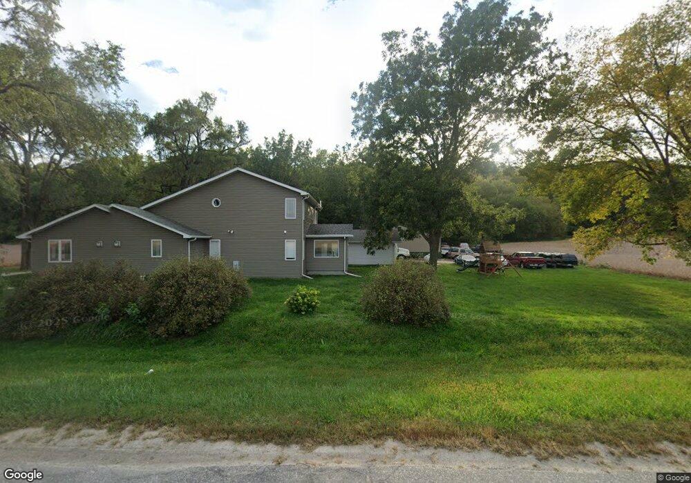
8755 U S 75 Fort Calhoun, NE 68023
Estimated Value: $402,000 - $649,000
3
Beds
9
Baths
2,784
Sq Ft
$182/Sq Ft
Est. Value
About This Home
This home is located at 8755 U S 75, Fort Calhoun, NE 68023 and is currently estimated at $506,500, approximately $181 per square foot. 8755 U S 75 is a home located in Washington County with nearby schools including Blair High School.
Ownership History
Date
Name
Owned For
Owner Type
Purchase Details
Closed on
Feb 27, 2013
Sold by
Larsen Steven K and Larsen Claudia E
Bought by
Kuehl Justin Louis and Kuehl Ashton Marie
Current Estimated Value
Home Financials for this Owner
Home Financials are based on the most recent Mortgage that was taken out on this home.
Original Mortgage
$186,558
Interest Rate
3.25%
Mortgage Type
FHA
Create a Home Valuation Report for This Property
The Home Valuation Report is an in-depth analysis detailing your home's value as well as a comparison with similar homes in the area
Home Values in the Area
Average Home Value in this Area
Purchase History
| Date | Buyer | Sale Price | Title Company |
|---|---|---|---|
| Kuehl Justin Louis | $190,000 | None Available |
Source: Public Records
Mortgage History
| Date | Status | Borrower | Loan Amount |
|---|---|---|---|
| Closed | Kuehl Justin Louis | $186,558 |
Source: Public Records
Tax History Compared to Growth
Tax History
| Year | Tax Paid | Tax Assessment Tax Assessment Total Assessment is a certain percentage of the fair market value that is determined by local assessors to be the total taxable value of land and additions on the property. | Land | Improvement |
|---|---|---|---|---|
| 2025 | $3,481 | $436,125 | $40,000 | $396,125 |
| 2024 | $3,481 | $404,710 | $40,000 | $364,710 |
| 2023 | $4,414 | $352,350 | $33,200 | $319,150 |
| 2022 | $4,771 | $314,635 | $27,000 | $287,635 |
| 2021 | $4,494 | $293,775 | $27,000 | $266,775 |
| 2020 | $4,345 | $274,140 | $27,000 | $247,140 |
| 2019 | $4,272 | $255,000 | $27,000 | $228,000 |
| 2018 | $3,929 | $233,215 | $27,000 | $206,215 |
| 2017 | $3,464 | $214,315 | $27,000 | $187,315 |
| 2016 | $3,447 | $214,315 | $27,000 | $187,315 |
| 2015 | $3,039 | $192,620 | $27,000 | $165,620 |
| 2014 | $3,039 | $192,620 | $27,000 | $165,620 |
Source: Public Records
Map
Nearby Homes
- 9349 Greeley Ave
- 7989 Road P26
- 0000 Road 26
- 10724 Oak Park Ln
- 6063 Glen Oaks Dr
- 6361 County Road P35
- TBD County Road P32 & P39
- Lots 9, 10, 11 Ramble Ridge Dr
- Tract 9 County Road 22
- Tract 7 County Road 22
- Tract 5 County Road 22
- Tract 8 County Road 22
- Tract 6 County Road 22
- 8930 Whitetail Ln
- 1314 Maple Dr
- 1308 Maple Dr
- 800 S 10th St
- 590 S 10th St
- 851 & 765 S 10th St
- 1085 S 13th Ave Unit 401
- 8755 Us Highway 75
- 8755 Us Highway 75
- 8611 County Road 41
- 8699 County Road 41
- 8804 County Road 41
- 8768 Tranquility Loop
- 8565 County Road 41
- 8934 41 County Rd
- 8736 Tranquility Loop
- 8950 County Road 41
- 8934 County Road 41
- 8910 County Road 41
- 0 Tranquility Loop
- 8429 Us Highway 75
- 8429 U S 75
- 8646 Tranquility Loop
- 8357 County Road 41
- 8687 Tranquility Loop
- 8441 Tranquility Loop
- 8381 Us Highway 75