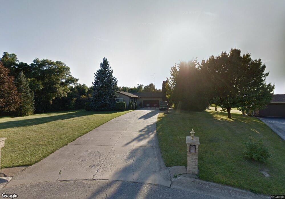
876 Bernie Blvd Chesterton, IN 46304
Porter County NeighborhoodEstimated Value: $354,000 - $483,000
2
Beds
2
Baths
2,408
Sq Ft
$161/Sq Ft
Est. Value
About This Home
This home is located at 876 Bernie Blvd, Chesterton, IN 46304 and is currently estimated at $387,233, approximately $160 per square foot. 876 Bernie Blvd is a home located in Porter County with nearby schools including Liberty Elementary School, Liberty Intermediate School, and Chesterton Middle School.
Ownership History
Date
Name
Owned For
Owner Type
Purchase Details
Closed on
Jun 17, 2005
Sold by
Ruge Jeffrey Thomas and Ruge Bruce William
Bought by
Parks Richard D and Parks Gail D
Current Estimated Value
Home Financials for this Owner
Home Financials are based on the most recent Mortgage that was taken out on this home.
Original Mortgage
$139,200
Outstanding Balance
$72,343
Interest Rate
5.69%
Mortgage Type
Fannie Mae Freddie Mac
Estimated Equity
$314,890
Create a Home Valuation Report for This Property
The Home Valuation Report is an in-depth analysis detailing your home's value as well as a comparison with similar homes in the area
Home Values in the Area
Average Home Value in this Area
Purchase History
| Date | Buyer | Sale Price | Title Company |
|---|---|---|---|
| Parks Richard D | -- | Ticor Title Ins |
Source: Public Records
Mortgage History
| Date | Status | Borrower | Loan Amount |
|---|---|---|---|
| Open | Parks Richard D | $139,200 |
Source: Public Records
Tax History Compared to Growth
Tax History
| Year | Tax Paid | Tax Assessment Tax Assessment Total Assessment is a certain percentage of the fair market value that is determined by local assessors to be the total taxable value of land and additions on the property. | Land | Improvement |
|---|---|---|---|---|
| 2024 | $2,426 | $312,300 | $47,500 | $264,800 |
| 2023 | $2,286 | $302,200 | $45,300 | $256,900 |
| 2022 | $2,195 | $274,700 | $45,300 | $229,400 |
| 2021 | $2,041 | $254,600 | $45,300 | $209,300 |
| 2020 | $1,961 | $240,900 | $39,300 | $201,600 |
| 2019 | $1,774 | $212,800 | $39,300 | $173,500 |
| 2018 | $1,660 | $203,500 | $39,300 | $164,200 |
| 2017 | $1,626 | $205,700 | $39,300 | $166,400 |
| 2016 | $1,501 | $193,400 | $38,800 | $154,600 |
| 2014 | $1,328 | $180,000 | $36,400 | $143,600 |
| 2013 | -- | $172,300 | $37,200 | $135,100 |
Source: Public Records
Map
Nearby Homes
- 122 W 850 N
- 17 Mark Twain Dr
- 8 W Shakespeare Dr
- 843 Mirmar Dr
- 120 W Us Highway 6
- 812 Concord St
- 882 Hemingway Trail
- 792 Merganser Ln
- 38 Elderberry Ln
- 186 Mallard Pointe Dr
- ESSEX Plan at St. Andrews
- NANDINA Plan at St. Andrews
- DUPONT Plan at St. Andrews
- ASPEN Plan at St. Andrews
- 28 Karner Blue Ct
- 26 Karner Blue Ct
- 875 Dunhill Dr
- Integrity 2280 Plan at The Preserve Indiana
- Elements 2200 Plan at The Preserve Indiana - Elements
- Elements 2390 Plan at The Preserve Indiana - Elements