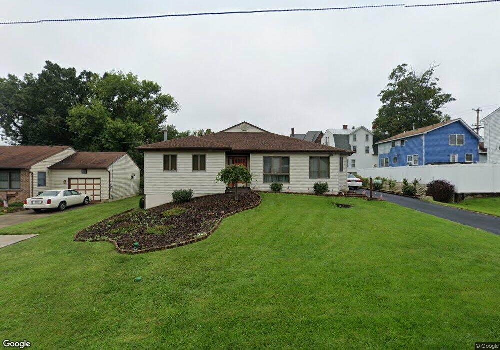
876 Kings Ln Bensalem, PA 19020
Estimated Value: $478,000 - $564,000
3
Beds
2
Baths
2,400
Sq Ft
$219/Sq Ft
Est. Value
About This Home
This home is located at 876 Kings Ln, Bensalem, PA 19020 and is currently estimated at $526,291, approximately $219 per square foot. 876 Kings Ln is a home located in Bucks County with nearby schools including Robert K. Shafer Middle School, School Lane Charter School, and St Charles Borromeo School.
Ownership History
Date
Name
Owned For
Owner Type
Purchase Details
Closed on
Feb 9, 2021
Sold by
Myerski Valerie and Ralston Mark W
Bought by
Myerski Valerie and Ralston Mark W
Current Estimated Value
Purchase Details
Closed on
Sep 26, 2018
Sold by
Myerski Valerie and Ralston Family Trust
Bought by
Myerski Valerie and Ralston Mark W
Purchase Details
Closed on
Apr 10, 2002
Sold by
Ralston Walter D and Ralston Frances M
Bought by
Ralston Walter D and Ralston Frances M
Purchase Details
Closed on
Sep 9, 1987
Bought by
Ralston Walter D and Ralston Frances M
Create a Home Valuation Report for This Property
The Home Valuation Report is an in-depth analysis detailing your home's value as well as a comparison with similar homes in the area
Home Values in the Area
Average Home Value in this Area
Purchase History
| Date | Buyer | Sale Price | Title Company |
|---|---|---|---|
| Myerski Valerie | -- | Accommodation/Courtesy Recordi | |
| Myerski Valerie | -- | None Available | |
| Ralston Walter D | -- | -- | |
| Ralston Walter D | -- | -- |
Source: Public Records
Tax History Compared to Growth
Tax History
| Year | Tax Paid | Tax Assessment Tax Assessment Total Assessment is a certain percentage of the fair market value that is determined by local assessors to be the total taxable value of land and additions on the property. | Land | Improvement |
|---|---|---|---|---|
| 2025 | $6,217 | $28,480 | $3,760 | $24,720 |
| 2024 | $6,217 | $28,480 | $3,760 | $24,720 |
| 2023 | $6,042 | $28,480 | $3,760 | $24,720 |
| 2022 | $6,006 | $28,480 | $3,760 | $24,720 |
| 2021 | $6,006 | $28,480 | $3,760 | $24,720 |
| 2020 | $5,946 | $28,480 | $3,760 | $24,720 |
| 2019 | $5,813 | $28,480 | $3,760 | $24,720 |
| 2018 | $0 | $0 | $0 | $0 |
| 2017 | $0 | $0 | $0 | $0 |
| 2016 | -- | $0 | $0 | $0 |
| 2015 | $1,216 | $0 | $0 | $0 |
| 2014 | $1,216 | $28,480 | $3,760 | $24,720 |
Source: Public Records
Map
Nearby Homes
- 1039 Clinton Ave
- 1080 Buttonwood Ave
- 1202 Clinton Ave
- 827 Mitchell Ave
- 1126 Evelyn Ave
- 1103 Colonial Ave
- 4161 Orchard Ln
- 1236 Whittier Ave
- 124 Meadow Ln
- 227 Dimarco Dr
- 4471 Ernie Davis Cir
- 102 Village Ln
- 4374 Deerpath Ln
- 3727 Pitt Place
- 3750 00 Clarendon Unit 221
- 3750 Clarendon Ave Unit 3
- 3726 Clarendon Ave
- 1155 Regina Ave
- 3720 Clarendon Ave
- 3627 N Hereford Ln
- 872 Kings Ln
- 1081 Bristol Pike
- 924 Kings Ln
- 868 Kings Ln
- 921 Kings Ln
- 1105 Bristol Pike
- 1122 Mildred Ave
- 1113 Bristol Pike
- 864 Kings Ln
- 1045 Bristol Pike
- 867 Kings Ln
- 1119 Bristol Pike
- 1126 Mildred Ave
- 1037 Bristol Pike
- 1068 Highland Ave
- 1060 Highland Ave
- 1064 Highland Ave
- 1125 Mildred Ave
- 1125 Bristol Pike
- 1056 Bristol Pike