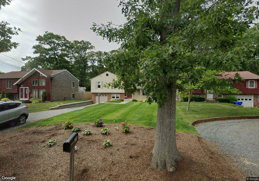
876 Roger Williams Ave Rumford, RI 02916
Rumford NeighborhoodEstimated Value: $415,000 - $494,000
3
Beds
2
Baths
1,652
Sq Ft
$277/Sq Ft
Est. Value
About This Home
This home is located at 876 Roger Williams Ave, Rumford, RI 02916 and is currently estimated at $457,188, approximately $276 per square foot. 876 Roger Williams Ave is a home located in Providence County with nearby schools including East Providence High School, St Margaret School, and Saint Teresa Catholic Elementary School.
Ownership History
Date
Name
Owned For
Owner Type
Purchase Details
Closed on
Sep 8, 2025
Sold by
Grof David E and Grof Rosaleen M
Bought by
Grof David J and Grof David E
Current Estimated Value
Purchase Details
Closed on
Jul 21, 1989
Sold by
Rivard Russell L
Bought by
Grof David E
Create a Home Valuation Report for This Property
The Home Valuation Report is an in-depth analysis detailing your home's value as well as a comparison with similar homes in the area
Home Values in the Area
Average Home Value in this Area
Purchase History
| Date | Buyer | Sale Price | Title Company |
|---|---|---|---|
| Grof David J | -- | -- | |
| Grof David E | $160,500 | -- | |
| Grof David E | $160,500 | -- |
Source: Public Records
Mortgage History
| Date | Status | Borrower | Loan Amount |
|---|---|---|---|
| Previous Owner | Grof David E | $231,000 | |
| Previous Owner | Grof David E | $100,000 | |
| Previous Owner | Grof David E | $29,000 | |
| Previous Owner | Grof David E | $100,000 |
Source: Public Records
Tax History Compared to Growth
Tax History
| Year | Tax Paid | Tax Assessment Tax Assessment Total Assessment is a certain percentage of the fair market value that is determined by local assessors to be the total taxable value of land and additions on the property. | Land | Improvement |
|---|---|---|---|---|
| 2025 | $6,004 | $459,400 | $100,400 | $359,000 |
| 2024 | $5,648 | $368,400 | $83,700 | $284,700 |
| 2023 | $5,438 | $368,400 | $83,700 | $284,700 |
| 2022 | $5,587 | $255,600 | $61,800 | $193,800 |
| 2021 | $5,495 | $255,600 | $61,800 | $193,800 |
| 2020 | $5,263 | $255,600 | $61,800 | $193,800 |
| 2019 | $5,117 | $255,600 | $61,800 | $193,800 |
| 2018 | $5,301 | $231,700 | $59,200 | $172,500 |
| 2017 | $5,183 | $231,700 | $59,200 | $172,500 |
| 2016 | $5,158 | $231,700 | $59,200 | $172,500 |
| 2015 | $5,010 | $218,300 | $54,800 | $163,500 |
| 2014 | $5,010 | $218,300 | $54,800 | $163,500 |
Source: Public Records
Map
Nearby Homes
- 8 Pine Grove St
- 25 Orange St
- 27 Orange St
- 39 Webster Ave Unit 201
- 60 West Dr
- 63 East Dr
- 70 Glen Meadows Dr
- 496 Beverage Hill Ave
- 339 Beverage Hill Ave
- 46 Lowell Ave
- 99 Ruth Ave Unit 101
- 38 Lowell Ave
- 77 Manistee St
- 77 Manistee St
- 261 263 Roger Williams Ave
- 0 Rosella Ave
- 17 Maplewood Dr
- 241 Wilson Ave
- 10 Maplewood Dr
- 111 Raymond Ave
- 816 Roger Williams Ave
- 896 Roger Williams Ave
- 776 Roger Williams Ave
- 900 Roger Williams Ave
- 849 Roger Williams Ave
- 716 Roger Williams Ave
- 912 Roger Williams Ave
- 853 Roger Williams Ave
- 2 Vista Dr
- 666 Roger Williams Ave
- 857 Roger Williams Ave
- 1 Vista Dr
- 6 Vista Dr
- 5 Vista Dr
- 865 Roger Williams Ave
- 616 Roger Williams Ave
- 9 Vista Dr
- 6 Diana Dr
- 10 Vista Dr
- 2 Deer St