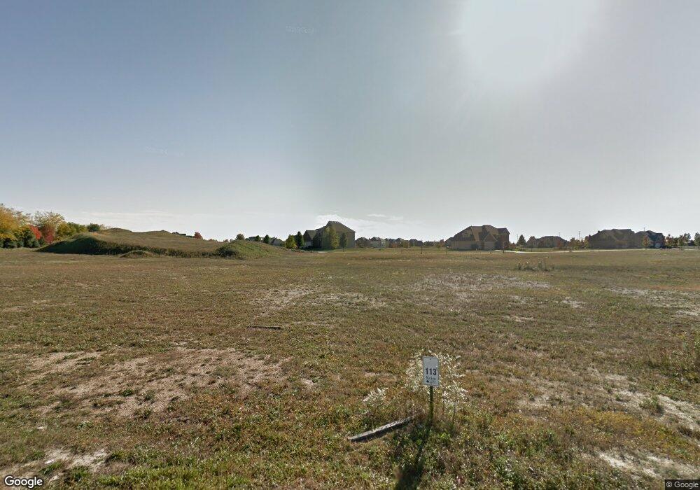
876 Samantha Cir Geneva, IL 60134
Southwest Geneva NeighborhoodEstimated Value: $542,000 - $945,350
3
Beds
2
Baths
2,418
Sq Ft
$320/Sq Ft
Est. Value
About This Home
This home is located at 876 Samantha Cir, Geneva, IL 60134 and is currently estimated at $773,838, approximately $320 per square foot. 876 Samantha Cir is a home located in Kane County with nearby schools including Heartland Elementary School, Geneva Community High School, and St. Peter School.
Ownership History
Date
Name
Owned For
Owner Type
Purchase Details
Closed on
Jul 31, 2024
Sold by
Keim Development Ltd
Bought by
Forst William J and Forst Terri E
Current Estimated Value
Home Financials for this Owner
Home Financials are based on the most recent Mortgage that was taken out on this home.
Original Mortgage
$665,225
Outstanding Balance
$658,403
Interest Rate
7.38%
Mortgage Type
New Conventional
Estimated Equity
$115,435
Create a Home Valuation Report for This Property
The Home Valuation Report is an in-depth analysis detailing your home's value as well as a comparison with similar homes in the area
Home Values in the Area
Average Home Value in this Area
Purchase History
| Date | Buyer | Sale Price | Title Company |
|---|---|---|---|
| Forst William J | $898,000 | Chicago Title |
Source: Public Records
Mortgage History
| Date | Status | Borrower | Loan Amount |
|---|---|---|---|
| Open | Forst William J | $665,225 |
Source: Public Records
Tax History Compared to Growth
Tax History
| Year | Tax Paid | Tax Assessment Tax Assessment Total Assessment is a certain percentage of the fair market value that is determined by local assessors to be the total taxable value of land and additions on the property. | Land | Improvement |
|---|---|---|---|---|
| 2024 | $5,979 | $81,661 | $1,156 | $80,505 |
| 2023 | $86 | $1,051 | $1,051 | -- |
| 2022 | $82 | $977 | $977 | $0 |
| 2021 | $79 | $941 | $941 | $0 |
| 2020 | $79 | $927 | $927 | $0 |
| 2019 | $78 | $909 | $909 | $0 |
| 2018 | $78 | $909 | $909 | $0 |
| 2017 | $78 | $885 | $885 | $0 |
| 2016 | $78 | $873 | $873 | $0 |
| 2015 | -- | $830 | $830 | $0 |
| 2014 | -- | $830 | $830 | $0 |
| 2013 | -- | $830 | $830 | $0 |
Source: Public Records
Map
Nearby Homes
- 823 Sunflower Dr
- 948 Bluestem Dr
- 2927 Caldwell Ln Unit 2
- 715 Samantha Cir
- 2827 Caldwell Ln Unit 2
- 38W335 Killey Ln
- 839 S Randall Rd
- 2767 Stone Cir
- 2771 Stone Cir
- 2747 Stone Cir
- 2749 Stone Cir
- 2751 Stone Cir
- 2753 Stone Cir
- 2769 Stone Cir
- 2671 Stone Cir Unit 208
- 2692 Stone Cir Unit 203
- 869 Cambridge Dr
- N288 Armstrong Ln
- 2721 Lorraine Cir
- N289 Hilts Dr
- 859 Sunflower Dr
- 884 Samantha Cir
- 853 Sunflower Dr
- 865 Samantha Cir
- 860 Sterling Ave
- 854 Sterling Ave
- 856 Sunflower Dr
- 857 Samantha Cir
- 868 Sunflower Dr
- 866 Sterling Ave
- 723 Bluestem Dr
- 848 Sterling Ave
- 880 Sunflower Dr
- 844 Sunflower Dr
- 872 Sterling Ave
- 842 Sterling Ave
- 849 Samantha Cir
- 3427 Blazing Star Ct
- 838 Sunflower Dr
- 836 Sterling Ave
