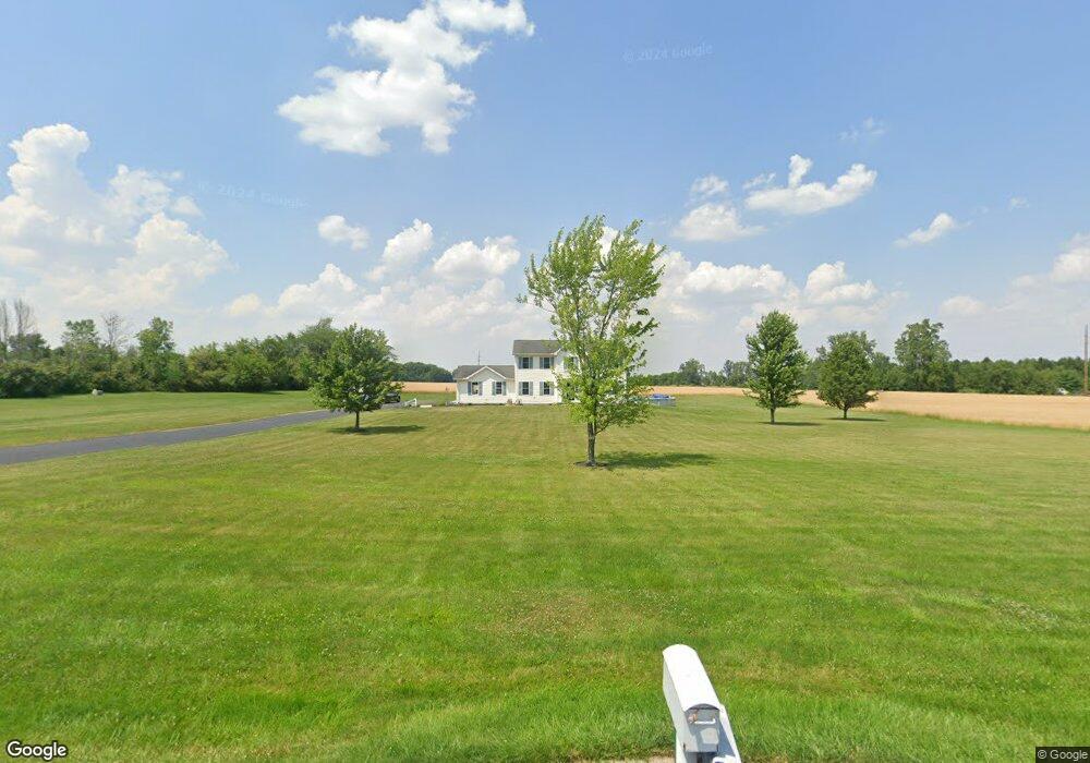
8760 Township Road 95 Findlay, OH 45840
Estimated Value: $415,795 - $583,000
3
Beds
3
Baths
2,080
Sq Ft
$236/Sq Ft
Est. Value
About This Home
This home is located at 8760 Township Road 95, Findlay, OH 45840 and is currently estimated at $490,932, approximately $236 per square foot. 8760 Township Road 95 is a home located in Hancock County with nearby schools including Liberty-Benton Elementary School, Liberty-Benton Middle School, and Liberty-Benton High School.
Ownership History
Date
Name
Owned For
Owner Type
Purchase Details
Closed on
Jun 12, 2003
Sold by
Lutz David E and Long Brian
Bought by
Doolittle Bradly C
Current Estimated Value
Home Financials for this Owner
Home Financials are based on the most recent Mortgage that was taken out on this home.
Original Mortgage
$123,300
Interest Rate
5.71%
Mortgage Type
Construction
Create a Home Valuation Report for This Property
The Home Valuation Report is an in-depth analysis detailing your home's value as well as a comparison with similar homes in the area
Home Values in the Area
Average Home Value in this Area
Purchase History
| Date | Buyer | Sale Price | Title Company |
|---|---|---|---|
| Doolittle Bradly C | $30,000 | Abstract Title |
Source: Public Records
Mortgage History
| Date | Status | Borrower | Loan Amount |
|---|---|---|---|
| Previous Owner | Doolittle Bradly C | $123,300 | |
| Closed | Doolittle Bradly C | $32,800 |
Source: Public Records
Tax History Compared to Growth
Tax History
| Year | Tax Paid | Tax Assessment Tax Assessment Total Assessment is a certain percentage of the fair market value that is determined by local assessors to be the total taxable value of land and additions on the property. | Land | Improvement |
|---|---|---|---|---|
| 2024 | $3,918 | $105,280 | $14,660 | $90,620 |
| 2023 | $3,825 | $105,280 | $14,660 | $90,620 |
| 2022 | $3,788 | $105,280 | $14,660 | $90,620 |
| 2021 | $3,383 | $82,990 | $13,350 | $69,640 |
| 2020 | $3,412 | $82,990 | $13,350 | $69,640 |
| 2019 | $3,274 | $82,990 | $13,350 | $69,640 |
| 2018 | $2,660 | $74,430 | $11,120 | $63,310 |
| 2017 | $1,372 | $74,430 | $11,120 | $63,310 |
| 2016 | $2,664 | $74,430 | $11,120 | $63,310 |
| 2015 | $2,169 | $59,130 | $11,120 | $48,010 |
| 2014 | $2,189 | $59,130 | $11,120 | $48,010 |
| 2012 | $2,104 | $54,380 | $11,120 | $43,260 |
Source: Public Records
Map
Nearby Homes
- 8922 Township Road 94
- 0 County Road 95 Unit 6097574
- 0 County Road 140
- 9960 W Us Route 224
- 0 Rock Candy Rd Unit Lot 159
- 0 Rock Candy Rd Unit Lot 170
- 0 Rock Candy Rd Unit Lot 172 206819
- 0 Rock Candy Rd Unit Lot 162
- 0 Rock Candy Rd Unit Lot 171
- 0 Rock Candy Rd Unit Lot 168
- 0 Rock Candy Rd Or Bushwillow Dr Unit Lot 173
- 6535 Silver Lake Dr
- 0 Bearcat Way Or Rock Candy Rd Unit Lot 167
- 0 Bushwillow Dr Or Rock Candy Rd Unit Lot 157
- 1405 Cypress Lake
- 3106 Saddlebrook
- 3018 Gleneagle Dr
- 7780 Township Road 89
- 0 County Road 223
- 8179 Hazelwood Dr
- 8765 Township Road 95
- 8833 Township Road 95
- 8727 Township Road 95
- 8676 Township Road 95
- 8622 Township Road 95
- 8622 Trail 95
- 6408 County Road 139
- 8566 Township Road 95
- 6404 County Road 139
- 8566 Trail 95
- 9038 Township Road 95
- 8518 Township Road 95
- 9051 Township Road 95
- 6032 County Road 139
- 9038 Trail 95
- 9089 Township Road 95
- 8471 Township Road 95
- 6671 County Road 139
- 6263 County Road 139
- 6788 County Road 139