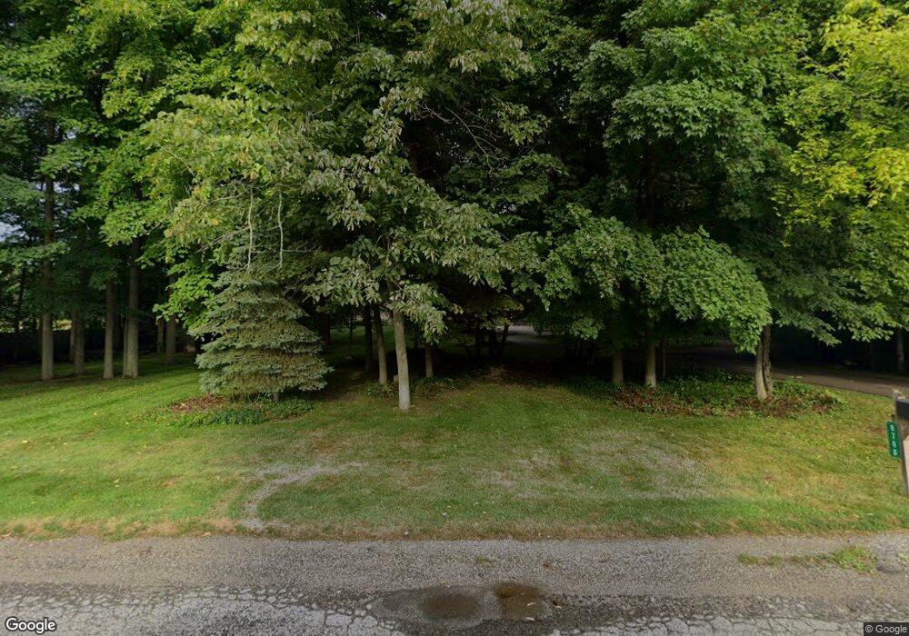
8768 Maple Rd Bridgeport, MI 48722
Estimated Value: $386,000 - $440,995
4
Beds
3
Baths
3,329
Sq Ft
$123/Sq Ft
Est. Value
About This Home
This home is located at 8768 Maple Rd, Bridgeport, MI 48722 and is currently estimated at $409,249, approximately $122 per square foot. 8768 Maple Rd is a home located in Saginaw County with nearby schools including North Elementary School, Marshall Greene Middle School, and Birch Run High School.
Ownership History
Date
Name
Owned For
Owner Type
Purchase Details
Closed on
Aug 22, 2025
Sold by
Aspin Steven J and Aspin Janet M
Bought by
Aspin Kathryn
Current Estimated Value
Home Financials for this Owner
Home Financials are based on the most recent Mortgage that was taken out on this home.
Original Mortgage
$290,000
Outstanding Balance
$288,996
Interest Rate
5.92%
Mortgage Type
Balloon
Estimated Equity
$120,253
Purchase Details
Closed on
Dec 14, 1988
Sold by
Wiederhold Ray E and Emma Lou
Bought by
Aspin Steven J and Aspin Janet M
Create a Home Valuation Report for This Property
The Home Valuation Report is an in-depth analysis detailing your home's value as well as a comparison with similar homes in the area
Home Values in the Area
Average Home Value in this Area
Purchase History
| Date | Buyer | Sale Price | Title Company |
|---|---|---|---|
| Aspin Kathryn | $400,000 | Crossroads Title | |
| Aspin Steven J | $7,000 | -- |
Source: Public Records
Mortgage History
| Date | Status | Borrower | Loan Amount |
|---|---|---|---|
| Open | Aspin Kathryn | $290,000 |
Source: Public Records
Tax History Compared to Growth
Tax History
| Year | Tax Paid | Tax Assessment Tax Assessment Total Assessment is a certain percentage of the fair market value that is determined by local assessors to be the total taxable value of land and additions on the property. | Land | Improvement |
|---|---|---|---|---|
| 2025 | $4,676 | $247,100 | $0 | $0 |
| 2024 | $1,551 | $231,200 | $0 | $0 |
| 2023 | $1,477 | $208,500 | $0 | $0 |
| 2022 | $4,064 | $178,400 | $0 | $0 |
| 2021 | $3,717 | $164,000 | $0 | $0 |
| 2020 | $3,654 | $154,600 | $0 | $0 |
| 2019 | $3,488 | $145,200 | $20,500 | $124,700 |
| 2018 | $1,288 | $130,200 | $0 | $0 |
| 2017 | $3,147 | $124,700 | $0 | $0 |
| 2016 | $3,024 | $116,500 | $0 | $0 |
| 2014 | -- | $111,900 | $0 | $96,900 |
| 2013 | -- | $111,200 | $0 | $0 |
Source: Public Records
Map
Nearby Homes
- 8780 Dixie Hwy
- 7110 Townline Rd
- 7965 Dixie Hwy
- 6977 Rathbun Rd
- 10520 Rathbun Way
- 2094 W Grim Rd
- 0000 Dixie Highway Dixie Hwy
- 8651 Canada Rd
- 5430 Busch Rd
- 0 W Tuscola Rd Unit 50182343
- 7720 Rookway Rd
- V/L S Dehmel Rd
- VL S Beyer Rd
- 9750 Marshall Rd
- 5 Mission Ridge
- 11204 Lange Rd
- 000 W Tuscola St
- 10 Harlan Ct
- 12079 Church St
- 12078 Church St
