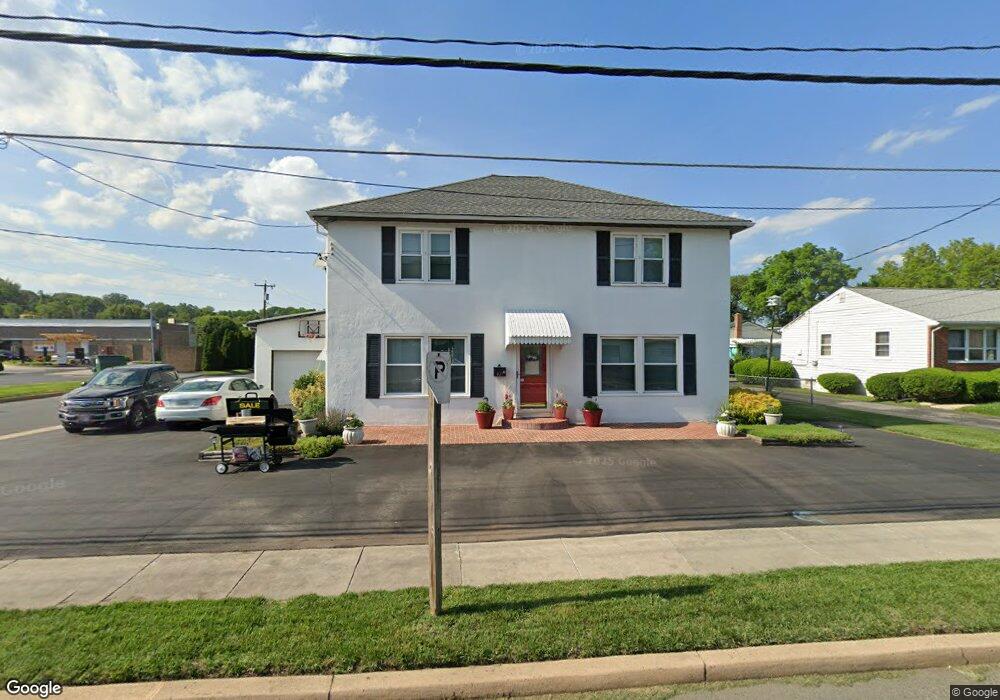
877 Otsego St Havre de Grace, MD 21078
Estimated Value: $354,012 - $489,000
--
Bed
2
Baths
2,624
Sq Ft
$164/Sq Ft
Est. Value
About This Home
This home is located at 877 Otsego St, Havre de Grace, MD 21078 and is currently estimated at $429,503, approximately $163 per square foot. 877 Otsego St is a home located in Harford County with nearby schools including Meadowvale Elementary School, Havre de Grace Middle School, and Havre de Grace High School.
Ownership History
Date
Name
Owned For
Owner Type
Purchase Details
Closed on
Oct 3, 2024
Sold by
Forsythe Donald Lee and Forsythe Priscilla N
Bought by
Forsythe Donald Lee and Forsythe Priscilla N
Current Estimated Value
Purchase Details
Closed on
Dec 19, 1991
Sold by
Forsythe Carrie M
Bought by
Forsythe Donald Lee and Forsythe Priscilla N
Home Financials for this Owner
Home Financials are based on the most recent Mortgage that was taken out on this home.
Original Mortgage
$120,000
Interest Rate
8.53%
Create a Home Valuation Report for This Property
The Home Valuation Report is an in-depth analysis detailing your home's value as well as a comparison with similar homes in the area
Home Values in the Area
Average Home Value in this Area
Purchase History
| Date | Buyer | Sale Price | Title Company |
|---|---|---|---|
| Forsythe Donald Lee | -- | None Listed On Document | |
| Forsythe Donald Lee | -- | None Listed On Document | |
| Forsythe Donald Lee | $65,500 | -- |
Source: Public Records
Mortgage History
| Date | Status | Borrower | Loan Amount |
|---|---|---|---|
| Previous Owner | Forsythe Donald Lee | $120,000 |
Source: Public Records
Tax History Compared to Growth
Tax History
| Year | Tax Paid | Tax Assessment Tax Assessment Total Assessment is a certain percentage of the fair market value that is determined by local assessors to be the total taxable value of land and additions on the property. | Land | Improvement |
|---|---|---|---|---|
| 2025 | $2,000 | $272,667 | $0 | $0 |
| 2024 | $2,000 | $254,800 | $68,600 | $186,200 |
| 2023 | $1,937 | $246,767 | $0 | $0 |
| 2022 | $1,874 | $238,733 | $0 | $0 |
| 2021 | $1,862 | $230,700 | $68,600 | $162,100 |
| 2020 | $1,862 | $225,200 | $0 | $0 |
| 2019 | $1,817 | $219,700 | $0 | $0 |
| 2018 | $1,756 | $214,200 | $78,600 | $135,600 |
| 2017 | $2,135 | $214,200 | $0 | $0 |
| 2016 | -- | $214,200 | $0 | $0 |
| 2015 | $1,965 | $214,600 | $0 | $0 |
| 2014 | $1,965 | $214,600 | $0 | $0 |
Source: Public Records
Map
Nearby Homes
- 834 Otsego St
- 819 Erie St
- 810 Garfield Rd
- 314 N Stokes St
- 1303 Ontario St
- 515 Green St
- 1302 Ontario St
- Sophia Plan at Bulle Rock - Villas
- Jordan II Plan at Bulle Rock - Villas
- Jordan III Plan at Bulle Rock - Villas
- Carson II Plan at Bulle Rock - Villas
- 556 Congress Ave
- 1411 Chapel Rd
- 2009 Lori Ln
- 2026 Lori Ln
- 218 S Union Ave
- 726 Girard St
- 204 Seneca Way Unit 12
- 317 S Stokes St
- 545 Hall Ct