877 Sandy Ln Blairsville, GA 30512
Ivylog NeighborhoodEstimated Value: $164,000 - $228,000
--
Bed
--
Bath
504
Sq Ft
$417/Sq Ft
Est. Value
About This Home
This home is located at 877 Sandy Ln, Blairsville, GA 30512 and is currently estimated at $209,976, approximately $416 per square foot. 877 Sandy Ln is a home with nearby schools including Union County Primary School, Union County Elementary School, and Union County Middle School.
Ownership History
Date
Name
Owned For
Owner Type
Purchase Details
Closed on
Feb 3, 2015
Sold by
Rowe Joanne M
Bought by
Worsham Ray and Worsham Janice
Current Estimated Value
Purchase Details
Closed on
Apr 13, 2011
Sold by
Rowe Bobby E
Bought by
Rowe Bobby E and Rowe Joanne M
Purchase Details
Closed on
Apr 14, 2006
Sold by
Collins Karen E
Bought by
Collins Calvin E and Collins Patricia G
Purchase Details
Closed on
Jul 23, 1992
Bought by
Rowe Bobby E
Create a Home Valuation Report for This Property
The Home Valuation Report is an in-depth analysis detailing your home's value as well as a comparison with similar homes in the area
Home Values in the Area
Average Home Value in this Area
Purchase History
| Date | Buyer | Sale Price | Title Company |
|---|---|---|---|
| Worsham Ray | $63,000 | -- | |
| Rowe Bobby E | -- | -- | |
| Collins Calvin E | $14,000 | -- | |
| Rowe Bobby E | $18,500 | -- |
Source: Public Records
Tax History Compared to Growth
Tax History
| Year | Tax Paid | Tax Assessment Tax Assessment Total Assessment is a certain percentage of the fair market value that is determined by local assessors to be the total taxable value of land and additions on the property. | Land | Improvement |
|---|---|---|---|---|
| 2024 | $792 | $67,040 | $18,320 | $48,720 |
| 2023 | $855 | $64,200 | $18,320 | $45,880 |
| 2022 | $722 | $54,220 | $16,960 | $37,260 |
| 2021 | $729 | $46,272 | $16,960 | $29,312 |
| 2020 | $544 | $28,744 | $13,402 | $15,342 |
| 2019 | $514 | $28,744 | $13,402 | $15,342 |
| 2018 | $505 | $28,744 | $13,402 | $15,342 |
| 2017 | $505 | $28,744 | $13,402 | $15,342 |
| 2016 | $443 | $28,744 | $13,402 | $15,342 |
| 2015 | $521 | $29,420 | $13,402 | $16,018 |
| 2013 | -- | $29,420 | $13,401 | $16,018 |
Source: Public Records
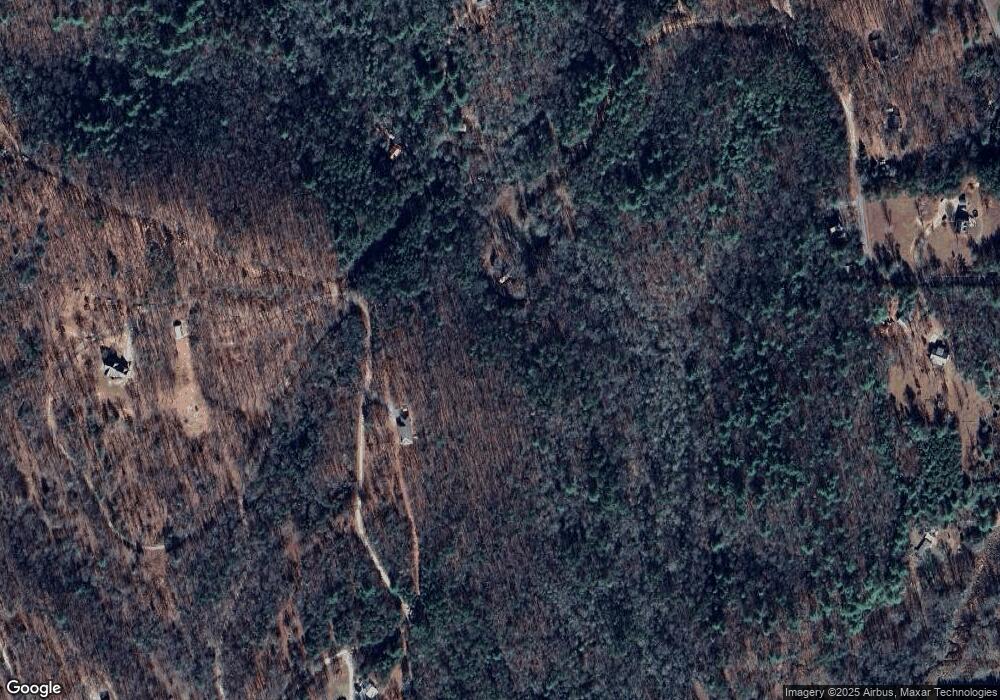
Map
Nearby Homes
- 116 Wildwood Rd
- Lot 17 Hidden Branch Dr
- Lot 18 Hidden Branch Dr
- 315 Hidden Branch Dr
- 136 Honeybell Ln
- 1347 Ivylog Dr
- 0 Ivylog Dr Unit 10473809
- 17 ac Hideaway Hills Rd
- 399 Hideaway Hills Rd
- LOT 140 Fox Ridge Unit 140
- LOT 141 Fox Ridge Unit 141
- LOT 141 Fox Ridge
- LOT 140 Fox Ridge
- LOT 6 Wild Turkey Rd
- LOT 6 Wild Turkey Rd Unit 64
- LOT 3 Wild Turkey Rd
- 35 Burkensmyth Ln
- 00 Rizzitello Ln
- 1696 Rocky Top Rd
- Lot 25 Laurel Mountain Dr
- 824 Sam Dye Rd Unit 12,13
- 824 Sam Dye Rd
- 824 Sam Dye Rd
- 877 Sam Dye Rd
- 750 Barnes Mill Rd
- 736 Sam Dye Rd
- 333 Sam Dye Rd
- 660 Sandy Ln
- 305 Sandy Ln
- 333 Sam Dye Rd
- 333 Sam Dye Rd
- 688 Sam Dye Rd
- Lt 18 Sam Dye Rd
- 0 Sam Dye Rd Unit 300878
- 0 Sam Dye Rd Unit 284478
- 0 Sam Dye Rd Unit 8722350
- 0 Sam Dye Rd
- 0 Sam Dye Rd Unit 6669377
- 0 Sam Dye Rd
- 881 Barnes Mill Rd