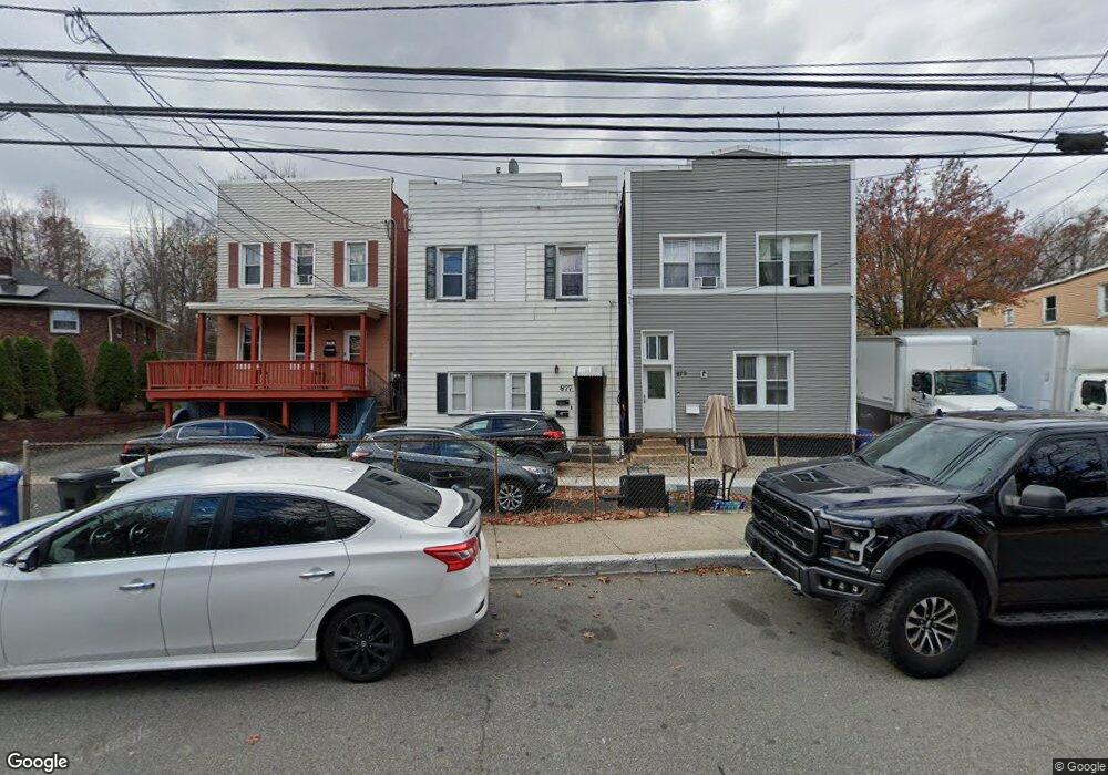
877 State St Perth Amboy, NJ 08861
Maurer NeighborhoodEstimated Value: $518,931 - $578,000
--
Bed
--
Bath
2,180
Sq Ft
$254/Sq Ft
Est. Value
About This Home
This home is located at 877 State St, Perth Amboy, NJ 08861 and is currently estimated at $553,983, approximately $254 per square foot. 877 State St is a home located in Middlesex County with nearby schools including Perth Amboy High School, Academy for Urban Leadership Charter School, and Assumption Catholic School.
Ownership History
Date
Name
Owned For
Owner Type
Purchase Details
Closed on
Feb 1, 2012
Sold by
391 Market St Llc
Bought by
877 State St Llc
Current Estimated Value
Purchase Details
Closed on
Feb 17, 2011
Sold by
Traveras Santiago
Bought by
391 Market St Llc
Purchase Details
Closed on
Dec 13, 2010
Sold by
1901 Residential Mgmt Co Llc
Bought by
Traveras Santiago
Purchase Details
Closed on
May 21, 2009
Sold by
Rojas Albert
Bought by
1901 Residential Mgmt Co Llc
Purchase Details
Closed on
Mar 31, 1999
Sold by
Gomez Luis
Bought by
Rios Rigoberto and Rios Silvia
Home Financials for this Owner
Home Financials are based on the most recent Mortgage that was taken out on this home.
Original Mortgage
$93,500
Interest Rate
7.04%
Create a Home Valuation Report for This Property
The Home Valuation Report is an in-depth analysis detailing your home's value as well as a comparison with similar homes in the area
Home Values in the Area
Average Home Value in this Area
Purchase History
| Date | Buyer | Sale Price | Title Company |
|---|---|---|---|
| 877 State St Llc | -- | Speedy Title Llc | |
| 391 Market St Llc | $37,000 | -- | |
| Traveras Santiago | $20,000 | East Coast Title | |
| 1901 Residential Mgmt Co Llc | $1,805 | First Jersey Title | |
| Rios Rigoberto | $20,000 | -- |
Source: Public Records
Mortgage History
| Date | Status | Borrower | Loan Amount |
|---|---|---|---|
| Previous Owner | Rios Rigoberto | $93,500 |
Source: Public Records
Tax History Compared to Growth
Tax History
| Year | Tax Paid | Tax Assessment Tax Assessment Total Assessment is a certain percentage of the fair market value that is determined by local assessors to be the total taxable value of land and additions on the property. | Land | Improvement |
|---|---|---|---|---|
| 2025 | $8,070 | $267,500 | $77,800 | $189,700 |
| 2024 | $8,054 | $267,500 | $77,800 | $189,700 |
| 2023 | $8,054 | $267,500 | $77,800 | $189,700 |
| 2022 | $7,958 | $267,500 | $77,800 | $189,700 |
| 2021 | $7,969 | $267,500 | $77,800 | $189,700 |
| 2020 | $7,966 | $267,500 | $77,800 | $189,700 |
| 2019 | $7,996 | $267,500 | $77,800 | $189,700 |
| 2018 | $7,926 | $267,500 | $77,800 | $189,700 |
| 2017 | $7,910 | $267,500 | $77,800 | $189,700 |
| 2016 | $7,704 | $267,500 | $77,800 | $189,700 |
| 2015 | $7,758 | $267,500 | $77,800 | $189,700 |
| 2014 | $7,806 | $267,500 | $77,800 | $189,700 |
Source: Public Records
Map
Nearby Homes
- 278 Alpine St
- 335 Alpine St
- 168 Lynd St
- 381 Keene St
- 680 Charles St
- 434 Lawrence St Unit 19
- 435 Ashley St
- 676 Johnstone St
- 212 Hall Ave
- 270 Hall Ave
- 646 Johnstone St
- 816 Harbortown Blvd
- 794 Harbortown Blvd
- 514 S Park Dr
- 649 Cornell St
- 537 Harding Ave
- 547 S Park Dr
- 752 Donald Ave
- 519 W Side Ave
- 744 Donald Ave