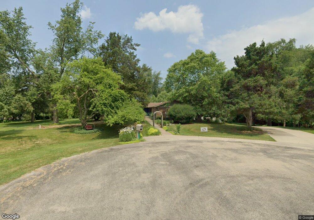
8770 Hawthorne Dr Tecumseh, MI 49286
Estimated Value: $380,380 - $390,000
3
Beds
3
Baths
1,900
Sq Ft
$202/Sq Ft
Est. Value
About This Home
This home is located at 8770 Hawthorne Dr, Tecumseh, MI 49286 and is currently estimated at $383,793, approximately $201 per square foot. 8770 Hawthorne Dr is a home located in Lenawee County with nearby schools including Tecumseh Middle School, Herrick Park Intermediate Learning Center, and Tecumseh High School.
Ownership History
Date
Name
Owned For
Owner Type
Purchase Details
Closed on
Apr 19, 2011
Sold by
Brockman Craig A and Brockman Sally J
Bought by
Brockman Craig A and Brockman Sally J
Current Estimated Value
Purchase Details
Closed on
Apr 7, 2006
Sold by
Snelson Edward W and Snelson Karen A
Bought by
Brockman Craig A and Brockman Sally J
Home Financials for this Owner
Home Financials are based on the most recent Mortgage that was taken out on this home.
Original Mortgage
$190,400
Outstanding Balance
$110,173
Interest Rate
6.48%
Mortgage Type
New Conventional
Estimated Equity
$273,620
Create a Home Valuation Report for This Property
The Home Valuation Report is an in-depth analysis detailing your home's value as well as a comparison with similar homes in the area
Home Values in the Area
Average Home Value in this Area
Purchase History
| Date | Buyer | Sale Price | Title Company |
|---|---|---|---|
| Brockman Craig A | -- | None Available | |
| Brockman Craig A | $238,000 | None Available |
Source: Public Records
Mortgage History
| Date | Status | Borrower | Loan Amount |
|---|---|---|---|
| Open | Brockman Craig A | $190,400 |
Source: Public Records
Tax History Compared to Growth
Tax History
| Year | Tax Paid | Tax Assessment Tax Assessment Total Assessment is a certain percentage of the fair market value that is determined by local assessors to be the total taxable value of land and additions on the property. | Land | Improvement |
|---|---|---|---|---|
| 2025 | $2,511 | $172,400 | $0 | $0 |
| 2024 | $1,805 | $162,100 | $0 | $0 |
| 2023 | $2,413 | $150,100 | $0 | $0 |
| 2022 | $2,039 | $136,200 | $0 | $0 |
| 2021 | $2,656 | $133,400 | $0 | $0 |
| 2020 | $2,620 | $132,600 | $0 | $0 |
| 2019 | $247,424 | $103,200 | $0 | $0 |
| 2018 | $2,515 | $109,499 | $0 | $0 |
| 2017 | $2,488 | $124,020 | $0 | $0 |
| 2016 | $2,404 | $122,032 | $0 | $0 |
| 2014 | -- | $109,509 | $0 | $0 |
Source: Public Records
Map
Nearby Homes
- Parcel B Fieldstone Dr
- 8917 Hawthorne Dr
- 6 Wheatland Dr
- 395 Burt St
- 600 Center Dr
- 607 Shadow Brooke Ln
- 726 Red Mill Point
- 724 Red Mill Point
- 728 Red Mill Point
- 723 Red Mill Point
- 102 N Maumee St
- 732 Red Mill Point
- 736 Eagle View Way
- 730 Red Mill Point
- 740 Eagle View Way
- 766 Eagle View Point
- 742 Eagle View Way
- 744 Eagle View Way
- 748 Eagle View Way
- 752 Eagle View Way
- 8764 Hawthorne Dr
- 8763 Hawthorne Dr
- 8751 Hawthorne Dr
- 8775 Hawthorne Dr
- 8807 Hawthorne Dr
- 8681 Hawthorne Dr
- 8702 Hawthorne Dr
- 8684 Hawthorne Dr
- 8788 Hawthorne Dr
- 8700 Grange Hall Hwy
- 8000 Hawthorne Dr
- 7 Wheatland Dr
- 8684 Grange Hall Hwy
- 8656 Grange Hall Hwy
- 8905 Hawthorne Dr
- 8792 Hawthorne Dr
- 8744 Hawthorne Dr
- 8746 Grange Hall Hwy
- 8666 Hawthorne Dr
- 8666 Hawthorne Blvd