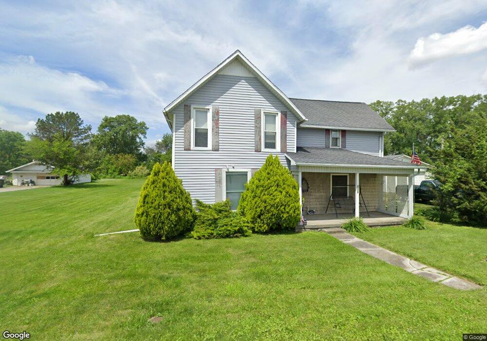
8773 Custar Rd Custar, OH 43511
Estimated Value: $189,237 - $265,000
3
Beds
1
Bath
1,776
Sq Ft
$125/Sq Ft
Est. Value
About This Home
This home is located at 8773 Custar Rd, Custar, OH 43511 and is currently estimated at $221,309, approximately $124 per square foot. 8773 Custar Rd is a home located in Wood County with nearby schools including Bowling Green High School.
Ownership History
Date
Name
Owned For
Owner Type
Purchase Details
Closed on
Aug 9, 2002
Sold by
Tyson Terry and Tyson Judy
Bought by
Hall Arthur C and Hall Beverly A
Current Estimated Value
Home Financials for this Owner
Home Financials are based on the most recent Mortgage that was taken out on this home.
Original Mortgage
$108,622
Interest Rate
6.63%
Mortgage Type
FHA
Purchase Details
Closed on
Mar 3, 1994
Sold by
Casdorph Charles L
Bought by
Casdorph Pamela J
Purchase Details
Closed on
Jul 31, 1986
Bought by
Casdorph Charles L
Create a Home Valuation Report for This Property
The Home Valuation Report is an in-depth analysis detailing your home's value as well as a comparison with similar homes in the area
Purchase History
| Date | Buyer | Sale Price | Title Company |
|---|---|---|---|
| Hall Arthur C | $109,500 | Port Lawrence Title | |
| Casdorph Pamela J | -- | -- | |
| Casdorph Charles L | $4,500 | -- |
Source: Public Records
Mortgage History
| Date | Status | Borrower | Loan Amount |
|---|---|---|---|
| Previous Owner | Hall Arthur C | $108,622 |
Source: Public Records
Tax History
| Year | Tax Paid | Tax Assessment Tax Assessment Total Assessment is a certain percentage of the fair market value that is determined by local assessors to be the total taxable value of land and additions on the property. | Land | Improvement |
|---|---|---|---|---|
| 2025 | $2,361 | $51,870 | $8,820 | $43,050 |
| 2024 | $2,347 | $51,870 | $8,820 | $43,050 |
| 2023 | $2,347 | $51,870 | $8,820 | $43,050 |
| 2021 | $1,870 | $39,520 | $7,070 | $32,450 |
| 2020 | $1,829 | $39,520 | $7,070 | $32,450 |
| 2019 | $1,813 | $37,980 | $7,070 | $30,910 |
| 2018 | $1,803 | $37,980 | $7,070 | $30,910 |
| 2017 | $1,745 | $37,980 | $7,070 | $30,910 |
| 2016 | $1,649 | $34,900 | $5,670 | $29,230 |
| 2015 | $1,649 | $34,900 | $5,670 | $29,230 |
| 2014 | $1,729 | $34,900 | $5,670 | $29,230 |
| 2013 | $1,913 | $34,900 | $5,670 | $29,230 |
Source: Public Records
Map
Nearby Homes
- 23117 Defiance Pike
- 22759 Defiance Pike
- 24642 Hammansburg Rd
- 117 Meadow Ln
- 115 Meadow Ln
- 113 N Meadow Ln
- 116 Meadow Ln
- 119 N Harvest St
- 112 N Harvest Dr
- 121 N Harvest St
- 118 N Harvest Dr
- 120 N Harvest Dr
- 102 N Harvest Dr
- 107 N Harvest St
- 125 N Harvest Dr
- 117 N Harvest St
- 123 N Harvest St
- 104 N Harvest Dr
- 100 N Harvest Dr
- 110 N Harvest Dr
- 8747 Custar Rd
- 8807 Custar Rd
- 8754 Custar Rd
- 8894 France Ave
- 8883 France Ave
- 8906 France St
- 8905 France Ave
- 8906 France Ave
- 8906 Custar Rd
- 8905 Custar Rd
- 8905 Custar Rd
- 8905 Custar Rd
- 8905 Custar Rd
- 8905 Custar Rd
- 8905 Custar Rd
- 0 France Ave
- 8924 Custar Rd
- 8915 France Ave
- 8915 France St
- 0 France Ave
Your Personal Tour Guide
Ask me questions while you tour the home.