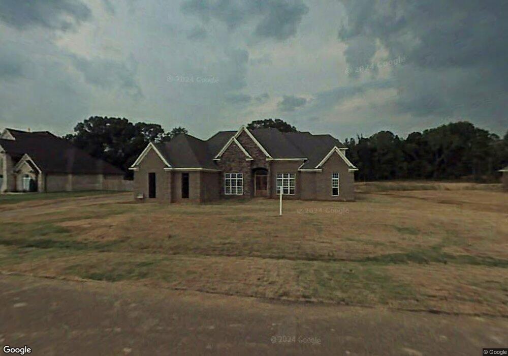
8774 Cameron St Olive Branch, MS 38654
Lewisburg NeighborhoodEstimated Value: $524,000 - $683,000
4
Beds
6
Baths
5,000
Sq Ft
$118/Sq Ft
Est. Value
About This Home
This home is located at 8774 Cameron St, Olive Branch, MS 38654 and is currently estimated at $589,651, approximately $117 per square foot. 8774 Cameron St is a home located in DeSoto County with nearby schools including Lewisburg Primary School, Lewisburg Elementary School, and Lewisburg Middle School.
Ownership History
Date
Name
Owned For
Owner Type
Purchase Details
Closed on
Oct 19, 2009
Sold by
Dehart Properties Llc
Bought by
Peterson Raiford L and Peterson Sandra M
Current Estimated Value
Home Financials for this Owner
Home Financials are based on the most recent Mortgage that was taken out on this home.
Original Mortgage
$322,250
Outstanding Balance
$208,279
Interest Rate
5.04%
Mortgage Type
VA
Estimated Equity
$381,372
Create a Home Valuation Report for This Property
The Home Valuation Report is an in-depth analysis detailing your home's value as well as a comparison with similar homes in the area
Home Values in the Area
Average Home Value in this Area
Purchase History
We collect this data history from publicly available records. To have your information removed, we recommend requesting removal directly through your county’s website.
| Date | Buyer | Sale Price | Title Company |
|---|---|---|---|
| Peterson Raiford L | -- | Southern Trust Title Company |
Source: Public Records
Mortgage History
We collect this data history from publicly available records. To have your information removed, we recommend requesting removal directly through your county’s website.
| Date | Status | Borrower | Loan Amount |
|---|---|---|---|
| Open | Peterson Raiford L | $322,250 |
Source: Public Records
Tax History
| Year | Tax Paid | Tax Assessment Tax Assessment Total Assessment is a certain percentage of the fair market value that is determined by local assessors to be the total taxable value of land and additions on the property. | Land | Improvement |
|---|---|---|---|---|
| 2025 | $2,931 | $32,814 | $6,000 | $26,814 |
| 2024 | $3,455 | $32,814 | $6,000 | $26,814 |
| 2023 | $3,455 | $32,814 | $0 | $0 |
| 2022 | $4,211 | $32,814 | $6,000 | $26,814 |
| 2021 | $4,211 | $32,814 | $6,000 | $26,814 |
| 2020 | $2,807 | $30,766 | $6,000 | $24,766 |
| 2019 | $2,807 | $30,766 | $6,000 | $24,766 |
| 2017 | $2,765 | $54,274 | $30,137 | $24,137 |
| 2016 | $2,765 | $30,137 | $6,000 | $24,137 |
| 2015 | $3,065 | $54,274 | $30,137 | $24,137 |
| 2014 | $2,765 | $30,137 | $0 | $0 |
| 2013 | $3,073 | $30,137 | $0 | $0 |
Source: Public Records
Map
Nearby Homes
- 3914 Saddle Bend
- 8472 Belmor Lakes Dr
- 9094 Apple Orchard Cove
- 9090 Apple Orchard Cove
- 8822 Mary McCoy Dr
- 9107 Apple Orchard Cove
- 8836 Mary McCoy Dr
- 4125 Olivia Cir W
- 4139 Olivia Cir W
- 8823 Jackson Ln
- 4173 Olivia Cir W
- 9142 Cedar Barn Cove
- 8593 Gwin Hollow
- 6606 Mississippi 305
- 6279 Mississippi 305
- 4021 Mitchell Place
- 8971 Jackson Ln
- 9135 Cedar Barn Cove
- 8985 Jackson Ln
- 8894 Jackson Ln
Your Personal Tour Guide
Ask me questions while you tour the home.