87792 Highway 59 Stilwell, OK 74960
Estimated Value: $126,798 - $249,000
4
Beds
1
Bath
1,500
Sq Ft
$108/Sq Ft
Est. Value
About This Home
This home is located at 87792 Highway 59, Stilwell, OK 74960 and is currently estimated at $162,200, approximately $108 per square foot. 87792 Highway 59 is a home located in Adair County with nearby schools including Briggs Public School.
Ownership History
Date
Name
Owned For
Owner Type
Purchase Details
Closed on
Apr 23, 2025
Sold by
S Bolin Revocable Trust and Bolin Sharon K
Bought by
Bolin Ashlie Jean
Current Estimated Value
Purchase Details
Closed on
Jan 29, 2021
Sold by
Bolin Sharon K
Bought by
Bolin Sharon K and S Bolin Revocable Trust
Purchase Details
Closed on
Oct 24, 2007
Sold by
Ketcher Walkingstick Douglas E and Ketcher Walkingstick Carolyn S
Bought by
Bolin George and Bolin Sharon K
Purchase Details
Closed on
Jan 18, 1994
Sold by
Ross Teddy
Bought by
Bolin George and Bolin Sharon
Create a Home Valuation Report for This Property
The Home Valuation Report is an in-depth analysis detailing your home's value as well as a comparison with similar homes in the area
Home Values in the Area
Average Home Value in this Area
Purchase History
| Date | Buyer | Sale Price | Title Company |
|---|---|---|---|
| Bolin Ashlie Jean | $175,000 | Old Republic National Title | |
| Bolin Ashlie Jean | $175,000 | Old Republic National Title | |
| Bolin Sharon K | -- | None Available | |
| Bolin George | -- | None Available | |
| Bolin George | $45,000 | -- |
Source: Public Records
Tax History Compared to Growth
Tax History
| Year | Tax Paid | Tax Assessment Tax Assessment Total Assessment is a certain percentage of the fair market value that is determined by local assessors to be the total taxable value of land and additions on the property. | Land | Improvement |
|---|---|---|---|---|
| 2025 | $531 | $6,044 | $1,082 | $4,962 |
| 2024 | $531 | $8,221 | $1,195 | $7,026 |
| 2023 | $531 | $5,697 | $1,020 | $4,677 |
| 2022 | $345 | $5,697 | $1,020 | $4,677 |
| 2021 | $345 | $5,697 | $1,020 | $4,677 |
| 2020 | $352 | $5,787 | $1,020 | $4,767 |
| 2019 | $358 | $5,876 | $1,020 | $4,856 |
| 2018 | $350 | $5,965 | $1,020 | $4,945 |
| 2017 | $349 | $5,956 | $989 | $4,967 |
| 2016 | $337 | $5,783 | $780 | $5,003 |
| 2015 | $331 | $5,615 | $780 | $4,835 |
| 2014 | $331 | $5,693 | $780 | $4,913 |
Source: Public Records
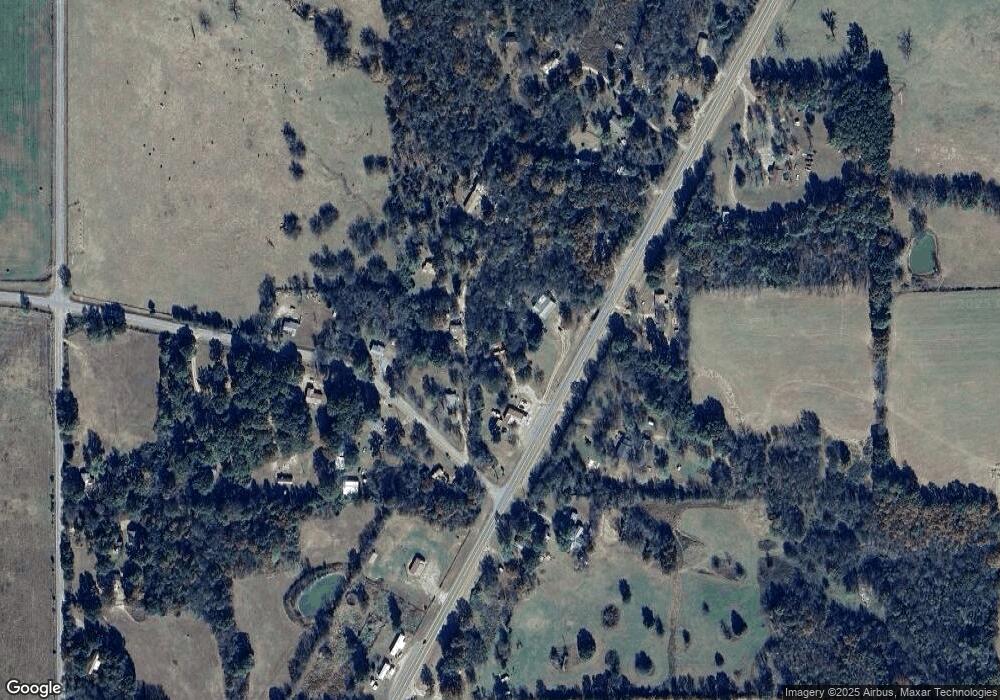
Map
Nearby Homes
- 469581 E 815 Rd
- 81134 S 4720 Rd
- 81118 S 4725 Rd
- 17022 S 579 Rd
- 26986 Highway 51
- 461685 E 770 Rd
- 24500 E 741 Rd
- 14554 N 603 Rd
- 25182 E 770 Rd
- 63320 S 4625 Rd
- 0 S Cary Ln
- 8147 N 544 Rd
- 20511 S 610 Rd
- 000 S 590 Road and 785 Rd E
- 0000 E Salvation Rd
- 26524 E 795 Rd
- 22678 Sunrise Ridge Dr
- 80618 S 4630 Rd
- 66821 S 4644 Rd
- 0093 S Acres S (93 Acres) S Welling Rd
- 472842 Highway 100
- 472618 Highway 100
- 84367 S 4725 Rd
- 83710 S 4730 Rd
- 83734 S 4730 Rd
- 26873 E Lane School Rd
- 87792 Highway 59
- 26250 E Lane School Rd
- 26163 E Lane School Rd
- 83731 S 4730 Rd
- 471944 E 807 Rd
- 471600 E 814 Rd
- 472717 E 844 Rd
- 471821 E 810 Rd
- 17069 N 752 Rd
- 25881 E Lane School Rd
- 25957 Highway 62
- 25916 Highway 62
- 25916 Highway 62
- 16251 N 609 Rd