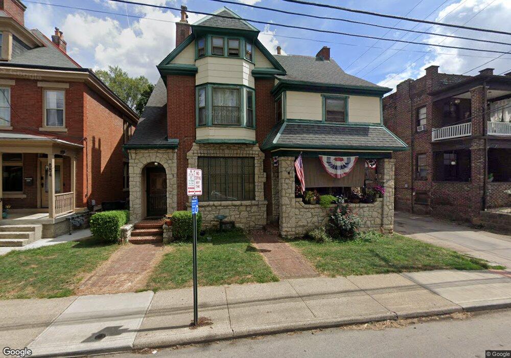
878 Dennison Ave Columbus, OH 43215
Short North NeighborhoodEstimated Value: $734,000 - $869,000
4
Beds
3
Baths
3,670
Sq Ft
$217/Sq Ft
Est. Value
About This Home
This home is located at 878 Dennison Ave, Columbus, OH 43215 and is currently estimated at $796,361, approximately $216 per square foot. 878 Dennison Ave is a home located in Franklin County with nearby schools including Hubbard Elementary School, Dominion Middle School, and Whetstone High School.
Ownership History
Date
Name
Owned For
Owner Type
Purchase Details
Closed on
Jan 27, 1986
Bought by
Compton Marvin E and Compton Rose A
Current Estimated Value
Purchase Details
Closed on
Dec 1, 1985
Create a Home Valuation Report for This Property
The Home Valuation Report is an in-depth analysis detailing your home's value as well as a comparison with similar homes in the area
Home Values in the Area
Average Home Value in this Area
Purchase History
| Date | Buyer | Sale Price | Title Company |
|---|---|---|---|
| Compton Marvin E | $20,000 | -- | |
| -- | $20,000 | -- |
Source: Public Records
Tax History Compared to Growth
Tax History
| Year | Tax Paid | Tax Assessment Tax Assessment Total Assessment is a certain percentage of the fair market value that is determined by local assessors to be the total taxable value of land and additions on the property. | Land | Improvement |
|---|---|---|---|---|
| 2024 | $9,574 | $220,790 | $77,000 | $143,790 |
| 2023 | $9,631 | $220,780 | $77,000 | $143,780 |
| 2022 | $8,718 | $105,080 | $24,960 | $80,120 |
| 2021 | $5,072 | $105,080 | $24,960 | $80,120 |
| 2020 | $5,079 | $105,080 | $24,960 | $80,120 |
| 2019 | $5,923 | $105,080 | $24,960 | $80,120 |
| 2018 | $6,383 | $123,770 | $24,960 | $98,810 |
| 2017 | $11,921 | $202,800 | $24,960 | $177,840 |
| 2016 | $6,277 | $102,200 | $13,790 | $88,410 |
| 2015 | $5,707 | $102,200 | $13,790 | $88,410 |
| 2014 | $5,721 | $102,200 | $13,790 | $88,410 |
| 2013 | $2,822 | $102,200 | $13,790 | $88,410 |
Source: Public Records
Map
Nearby Homes
- 915 Dennison Ave Unit 915
- 938 Hunter Ave
- 83 W 1st Ave
- 85-91 W 1st Ave
- 884 Neil Ave
- 969 Hunter Ave
- 162 E 2nd Ave
- 998 Ewing Alley Unit 998
- 1001 Dennison Ave
- 986 Highland St
- 1025 Hunter Ave
- 845 N High St Unit 404
- 845 N High St Unit 209
- 845 N High St Unit 501 & 502
- 11 W 1st Ave Unit B
- 313 W 1st Ave
- 312 Buttles Ave Unit 314
- 1016 Neil Ave
- 867-871 Delaware Ave
- 1018 Neil Ave
- 884 Dennison Ave Unit 890
- 872 Dennison Ave
- 888 Dennison Ave
- 151 W 1st Ave
- 866 Dennison Ave
- 892 Dennison Ave Unit 894
- 145 W 1st Ave Unit 147
- 860 Dennison Ave
- 152 Wilber Ave Unit 154
- 867 Dennison Ave Unit 867
- 889 Dennison Ave
- 884 Hunter Ave Unit 886
- 884-886 Hunter Ave
- 891 Dennison Ave Unit 891
- 885 Dennison Ave
- 877 Dennison Ave
- 146 Wilber Ave Unit 148
- 141 W 1st Ave Unit 141
- 895 Dennison Ave
- 139 W 1st Ave