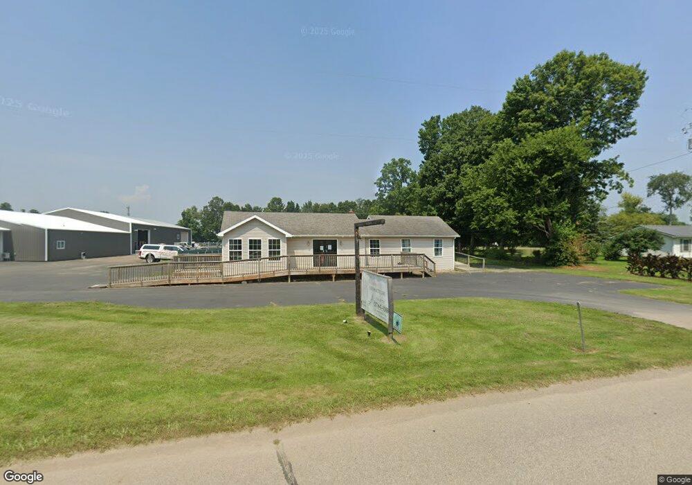
878 E Chicago Rd Quincy, MI 49082
Estimated Value: $231,484
Studio
--
Bath
1,450
Sq Ft
$160/Sq Ft
Est. Value
About This Home
This home is located at 878 E Chicago Rd, Quincy, MI 49082 and is currently estimated at $231,484, approximately $159 per square foot. 878 E Chicago Rd is a home located in Branch County with nearby schools including Jennings Elementary School, Quincy Middle School, and Quincy High School.
Ownership History
Date
Name
Owned For
Owner Type
Purchase Details
Closed on
Feb 19, 2007
Sold by
Wingard Mary L
Bought by
Longstreet Cindy and Lonstreet Mackenzie
Current Estimated Value
Purchase Details
Closed on
Aug 3, 2001
Sold by
Bracy Daniel L and Bracy Cathy J
Bought by
Wingard Mary L
Purchase Details
Closed on
Nov 9, 1998
Sold by
Bracy Cathy J
Bought by
Bracy Cathy J and Bracy Daniel
Purchase Details
Closed on
Nov 5, 1998
Purchase Details
Closed on
Mar 16, 1998
Sold by
Longstreet Lynn and Longstreet Christy L
Bought by
Longstreet Lynn and Longstreet Christy L
Create a Home Valuation Report for This Property
The Home Valuation Report is an in-depth analysis detailing your home's value as well as a comparison with similar homes in the area
Purchase History
| Date | Buyer | Sale Price | Title Company |
|---|---|---|---|
| Longstreet Cindy | $119,600 | Branch County Abstract & Tit | |
| Wingard Mary L | -- | -- | |
| Bracy Cathy J | -- | -- | |
| -- | $30,000 | -- | |
| Longstreet Lynn | -- | -- |
Source: Public Records
Tax History
| Year | Tax Paid | Tax Assessment Tax Assessment Total Assessment is a certain percentage of the fair market value that is determined by local assessors to be the total taxable value of land and additions on the property. | Land | Improvement |
|---|---|---|---|---|
| 2025 | $2,722 | $73,435 | $0 | $0 |
| 2024 | $6 | $66,635 | $0 | $0 |
| 2023 | $558 | $64,831 | $0 | $0 |
| 2022 | $558 | $61,765 | $0 | $0 |
| 2020 | -- | $47,565 | $0 | $0 |
| 2019 | -- | $45,691 | $0 | $0 |
| 2018 | -- | $44,974 | $0 | $0 |
| 2017 | -- | $43,978 | $0 | $0 |
| 2016 | -- | $45,487 | $0 | $0 |
| 2015 | -- | $40,930 | $0 | $0 |
| 2014 | -- | $46,656 | $0 | $0 |
| 2013 | -- | $44,936 | $0 | $0 |
Source: Public Records
Map
Nearby Homes
- 493 Richard St
- 46 W Chicago St
- 8 Hunting Trail Ave
- 14 Cole St
- 29 Broughton St
- 345 N Fremont Rd
- 732 Cambridge Dr
- 201 Wildwood Beach Rd
- 1085 E Chicago Rd
- 1085 E Chicago Rd Unit B
- 1085 E Chicago Rd Unit A
- 808 Rolling Meadows Dr
- 981 Generic Dr
- 0 Lott Rd
- VL N Fiske Rd
- 410 N Fiske Rd
- 944 Lukesport Rd
- 0 Wildwood Rd
- 586 Schaeffer Dr
- 571 Scott Dr
- 876 E Chicago Rd
- 880 E Chicago Rd
- 874 E Chicago Rd
- 881 E Chicago Rd
- 879 E Chicago Rd
- 873 E Chicago Rd
- 847 Lawrence St
- 871 E Chicago Rd
- 889 E Chicago Rd
- 888 E Chicago Rd
- 851 Lawrence St
- 868 E Chicago Rd
- 843 Lawrence St
- 855 Lawrence St
- 404 Doris St
- 866 E Chicago Rd
- 869 E Chicago Rd
- 859 Lawrence St
- 890 E Chicago Rd
- 403 Doris St
Your Personal Tour Guide
Ask me questions while you tour the home.