Estimated Value: $141,000 - $242,000
--
Bed
--
Bath
1,080
Sq Ft
$174/Sq Ft
Est. Value
About This Home
This home is located at 878 Fisher Rd, Cuba, MO 65453 and is currently estimated at $187,606, approximately $173 per square foot. 878 Fisher Rd is a home with nearby schools including Cuba Elementary School, Cuba Middle School, and Cuba High School.
Ownership History
Date
Name
Owned For
Owner Type
Purchase Details
Closed on
May 16, 2014
Sold by
Maddox Quentin and Maddox Jessica Renea
Bought by
Bell Michael D and Bell Bonnie
Current Estimated Value
Home Financials for this Owner
Home Financials are based on the most recent Mortgage that was taken out on this home.
Original Mortgage
$82,820
Outstanding Balance
$44,692
Interest Rate
4.32%
Mortgage Type
Future Advance Clause Open End Mortgage
Estimated Equity
$142,914
Purchase Details
Closed on
Apr 27, 2006
Sold by
Lci Llc
Bought by
Maddox Quentin L and Bell Michael D
Home Financials for this Owner
Home Financials are based on the most recent Mortgage that was taken out on this home.
Original Mortgage
$45,500
Interest Rate
6.33%
Mortgage Type
New Conventional
Create a Home Valuation Report for This Property
The Home Valuation Report is an in-depth analysis detailing your home's value as well as a comparison with similar homes in the area
Home Values in the Area
Average Home Value in this Area
Purchase History
| Date | Buyer | Sale Price | Title Company |
|---|---|---|---|
| Bell Michael D | -- | None Available | |
| Maddox Quentin L | -- | Cct |
Source: Public Records
Mortgage History
| Date | Status | Borrower | Loan Amount |
|---|---|---|---|
| Open | Bell Michael D | $82,820 | |
| Closed | Maddox Quentin L | $45,500 |
Source: Public Records
Tax History Compared to Growth
Tax History
| Year | Tax Paid | Tax Assessment Tax Assessment Total Assessment is a certain percentage of the fair market value that is determined by local assessors to be the total taxable value of land and additions on the property. | Land | Improvement |
|---|---|---|---|---|
| 2024 | $952 | $22,160 | $0 | $0 |
| 2023 | $950 | $22,160 | $0 | $0 |
| 2022 | $944 | $22,160 | $0 | $0 |
| 2021 | $943 | $22,160 | $0 | $0 |
| 2020 | $901 | $20,930 | $0 | $0 |
| 2019 | $901 | $20,930 | $0 | $0 |
| 2018 | $885 | $20,550 | $0 | $0 |
| 2017 | $778 | $19,500 | $0 | $0 |
| 2016 | $778 | $19,500 | $0 | $0 |
| 2015 | -- | $19,500 | $0 | $0 |
| 2014 | -- | $19,500 | $0 | $0 |
| 2013 | -- | $19,500 | $0 | $0 |
Source: Public Records
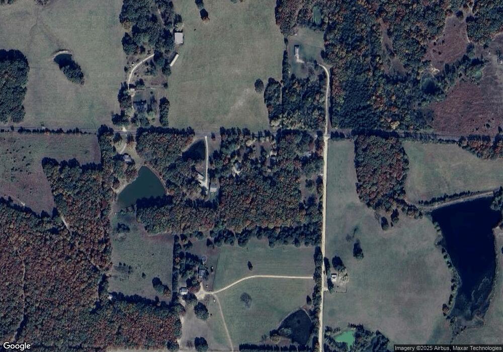
Map
Nearby Homes
- TBD Hwy Uu
- 0 Old Route 66 & Hwy Uu Rd Unit 23032474
- 4589 State Highway P
- 0 Trainer Rd Unit MIS25069427
- 2 Hwy P Lantz Rd
- 1 Hollingshead Rd
- 5870 Old 66
- 5426 Highway 19
- 4944 Highway 19
- 0 Ozark Dr
- 1 Northwood Dr
- 1 Highway P
- 15 Northwood Dr
- 3006 Chestnut St
- 0 1 21 Acres Northwood Dr
- 2 Northwood Rd
- 106 Trainer Ave
- 0 Fleenor Rd Unit MIS25069317
- 4064 Highway 19
- 211 N Davis
- 1163 S Elliston Rd
- 706 Fisher Rd
- 705 Fisher Rd
- 0 S Elliston Rd
- 995 S Elliston Rd
- 998 S Elliston Rd
- 1235 Fisher Rd
- 759 S Elliston Rd
- 304 Fisher Rd
- 311 Fisher Rd
- 256 Fisher Rd
- 583 S Elliston Rd
- 742 Highway Uu
- 199 Cedar Crest Ln
- 495 S Elliston Rd
- 587 Highway Uu
- 118 Fisher Rd
- 116 Crow Ln
- 3087 Highway P
- 1101 Highway Uu