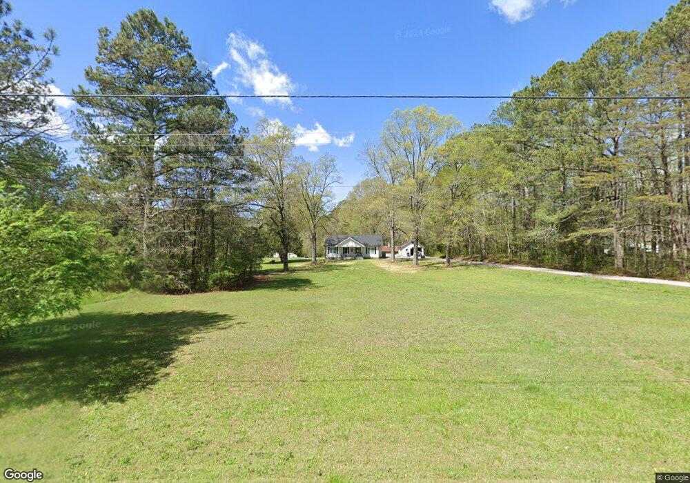
878 Highway 201 La Fayette, GA 30728
Estimated Value: $104,000 - $621,000
--
Bed
1
Bath
1,316
Sq Ft
$275/Sq Ft
Est. Value
About This Home
This home is located at 878 Highway 201, La Fayette, GA 30728 and is currently estimated at $362,500, approximately $275 per square foot. 878 Highway 201 is a home located in Walker County with nearby schools including Naomi Elementary School, Lafayette Middle School, and Lafayette High School.
Ownership History
Date
Name
Owned For
Owner Type
Purchase Details
Closed on
Apr 3, 2018
Sold by
Harris Patrick Cecil
Bought by
Mckenzie Stephen Mark
Current Estimated Value
Purchase Details
Closed on
Dec 8, 2017
Sold by
Knight Cecil Soloman
Bought by
Harris Patrick Cecil
Purchase Details
Closed on
Apr 1, 1993
Sold by
Knight Warren Mrs
Bought by
Knight Cecil Soloman
Purchase Details
Closed on
Jan 1, 1972
Bought by
Knight Warren Mrs
Create a Home Valuation Report for This Property
The Home Valuation Report is an in-depth analysis detailing your home's value as well as a comparison with similar homes in the area
Home Values in the Area
Average Home Value in this Area
Purchase History
| Date | Buyer | Sale Price | Title Company |
|---|---|---|---|
| Mckenzie Stephen Mark | $18,000 | -- | |
| Harris Patrick Cecil | -- | -- | |
| Knight Cecil Soloman | -- | -- | |
| Knight Warren Mrs | -- | -- |
Source: Public Records
Tax History Compared to Growth
Tax History
| Year | Tax Paid | Tax Assessment Tax Assessment Total Assessment is a certain percentage of the fair market value that is determined by local assessors to be the total taxable value of land and additions on the property. | Land | Improvement |
|---|---|---|---|---|
| 2024 | $2,185 | $210,758 | $139,830 | $70,928 |
| 2023 | $2,045 | $179,670 | $110,976 | $68,694 |
| 2022 | $1,585 | $63,138 | $61,926 | $1,212 |
| 2021 | $1,737 | $62,936 | $61,926 | $1,010 |
| 2020 | $1,798 | $62,936 | $61,926 | $1,010 |
| 2019 | $1,832 | $62,936 | $61,926 | $1,010 |
| 2018 | $1,790 | $67,649 | $66,639 | $1,010 |
| 2017 | $1,586 | $86,724 | $66,639 | $20,085 |
| 2016 | $1,167 | $86,724 | $66,639 | $20,085 |
| 2015 | $921 | $72,523 | $58,076 | $14,447 |
| 2014 | $765 | $72,523 | $58,076 | $14,447 |
| 2013 | -- | $72,523 | $58,076 | $14,447 |
Source: Public Records
Map
Nearby Homes
- 349 Joe Robertson Rd
- 00 Joe Robertson Rd
- 721 Gowan Rd
- 0 Clement Rd Unit 7454770
- 0 Clement Rd Unit 10376510
- 4177 S Jimmy Dr
- 4180 S Jimmy Dr
- 297 Townsend Rd
- 0 Townsend Rd
- 4744 N Jimmy Dr
- 1166 Lower Mill Creek Rd
- 124 Jonathan Way
- 2950 Davis Rd
- 9724 Georgia 136
- 2906 Davis Rd
- 110 Windy Hill Dr
- Tract 1 A & B I-75 Beavers Rd
- 2708 Quarles Rd
- 1580 Furnace Creek Rd
- 1446 Lafayette Rd