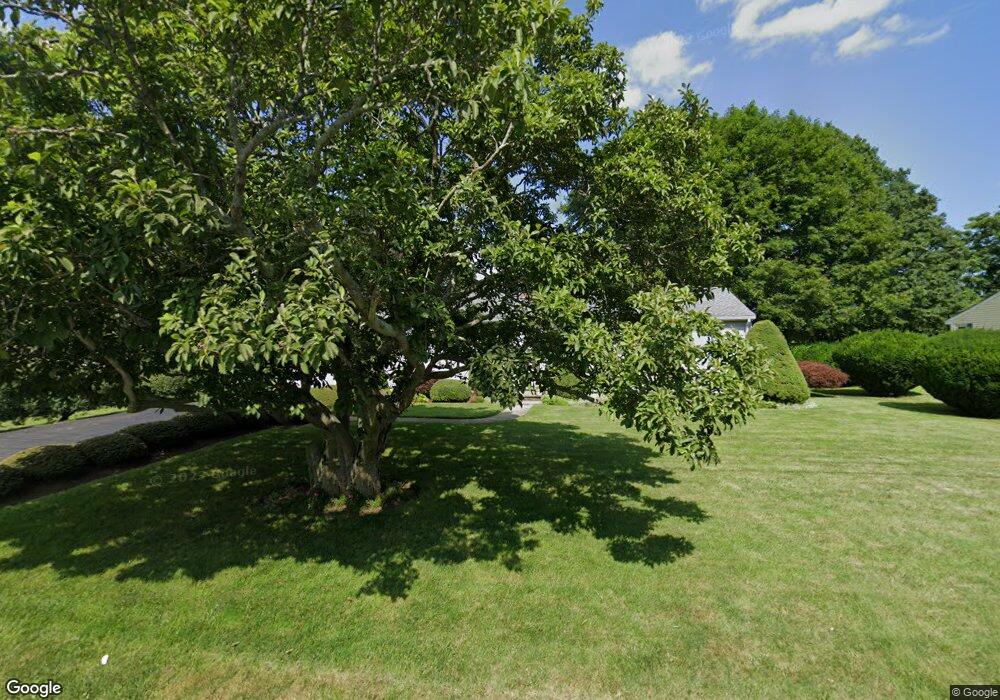
878 Sanford Rd Westport, MA 02790
North Westport NeighborhoodEstimated Value: $495,903 - $552,000
2
Beds
--
Bath
1,643
Sq Ft
$321/Sq Ft
Est. Value
About This Home
This home is located at 878 Sanford Rd, Westport, MA 02790 and is currently estimated at $527,226, approximately $320 per square foot. 878 Sanford Rd is a home located in Bristol County with nearby schools including Alice A. Macomber Primary School, Westport Elementary School, and Westport Middle-High School.
Create a Home Valuation Report for This Property
The Home Valuation Report is an in-depth analysis detailing your home's value as well as a comparison with similar homes in the area
Home Values in the Area
Average Home Value in this Area
Tax History Compared to Growth
Tax History
| Year | Tax Paid | Tax Assessment Tax Assessment Total Assessment is a certain percentage of the fair market value that is determined by local assessors to be the total taxable value of land and additions on the property. | Land | Improvement |
|---|---|---|---|---|
| 2025 | $3,113 | $417,900 | $174,700 | $243,200 |
| 2024 | $3,053 | $395,000 | $155,100 | $239,900 |
| 2023 | $2,960 | $362,800 | $141,300 | $221,500 |
| 2022 | $2,572 | $329,800 | $141,300 | $188,500 |
| 2021 | $2,572 | $298,400 | $116,800 | $181,600 |
| 2020 | $2,476 | $293,700 | $112,100 | $181,600 |
| 2019 | $2,380 | $287,800 | $112,100 | $175,700 |
| 2018 | $2,351 | $287,800 | $112,900 | $174,900 |
| 2017 | $2,238 | $280,800 | $109,300 | $171,500 |
| 2016 | $2,072 | $261,900 | $105,700 | $156,200 |
| 2015 | $1,963 | $247,500 | $108,100 | $139,400 |
Source: Public Records
Map
Nearby Homes
- 880 Sanford Rd
- 874 Sanford Rd
- 873 Sanford Rd
- 872 Sanford Rd
- 890 Sanford Rd
- 903 Sanford Rd
- 896 Sanford Rd
- 868 Sanford Rd
- 883 Sanford Rd
- 907 Sanford Rd
- 859 Sanford Rd
- 859 Sanford Rd Unit 2 Rear
- 904 Sanford Rd
- 864 Sanford Rd
- 908 Sanford Rd
- 849 Sanford Rd
- 837 Sanford Rd
- 840 Sanford Rd
- 915 Sanford Rd
- 836 Sanford Rd