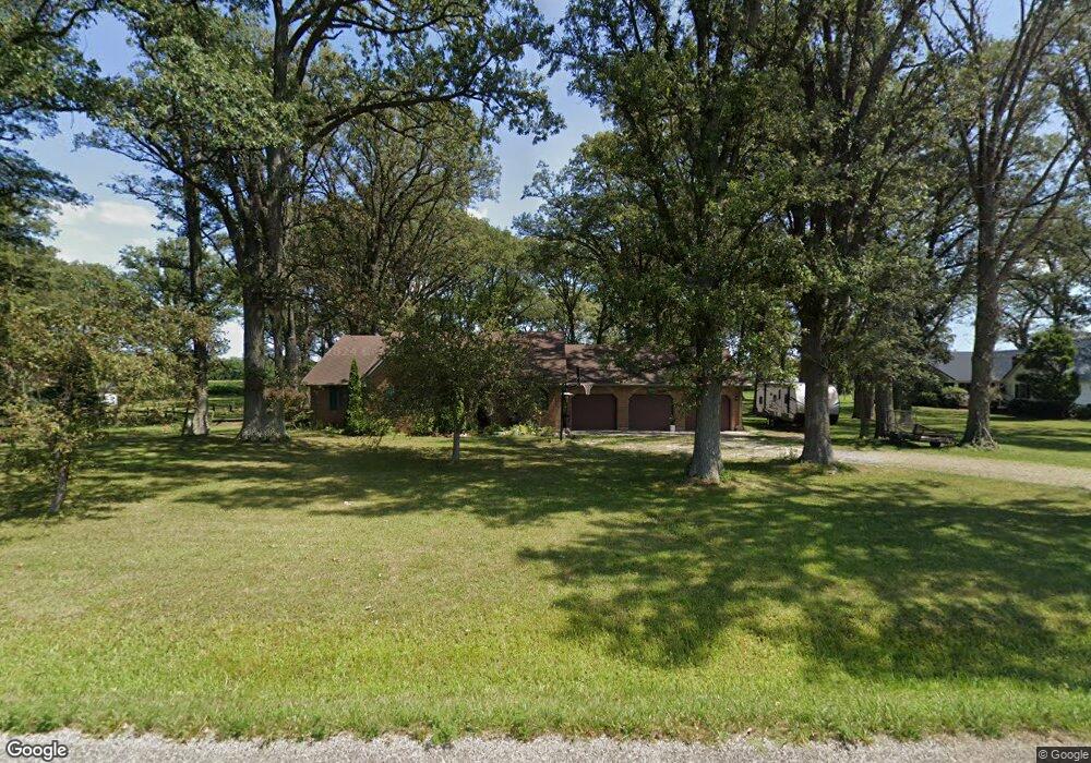
8780 Township Line Rd Celina, OH 45822
Estimated Value: $294,000 - $310,531
3
Beds
3
Baths
1,743
Sq Ft
$172/Sq Ft
Est. Value
About This Home
This home is located at 8780 Township Line Rd, Celina, OH 45822 and is currently estimated at $299,883, approximately $172 per square foot. 8780 Township Line Rd is a home located in Mercer County with nearby schools including Celina Middle School and Celina High School.
Ownership History
Date
Name
Owned For
Owner Type
Purchase Details
Closed on
Oct 19, 2018
Sold by
Pancake Leon N and Pancake Carolyn L
Bought by
Staugler Elizabeth J
Current Estimated Value
Home Financials for this Owner
Home Financials are based on the most recent Mortgage that was taken out on this home.
Original Mortgage
$148,200
Outstanding Balance
$108,478
Interest Rate
4.5%
Mortgage Type
New Conventional
Estimated Equity
$191,405
Purchase Details
Closed on
Aug 23, 2000
Bought by
Pancake Leon N and Pancake Carolyn L
Create a Home Valuation Report for This Property
The Home Valuation Report is an in-depth analysis detailing your home's value as well as a comparison with similar homes in the area
Purchase History
| Date | Buyer | Sale Price | Title Company |
|---|---|---|---|
| Staugler Elizabeth J | $160,200 | None Available | |
| Pancake Leon N | $133,000 | -- |
Source: Public Records
Mortgage History
| Date | Status | Borrower | Loan Amount |
|---|---|---|---|
| Open | Staugler Elizabeth J | $148,200 |
Source: Public Records
Tax History
| Year | Tax Paid | Tax Assessment Tax Assessment Total Assessment is a certain percentage of the fair market value that is determined by local assessors to be the total taxable value of land and additions on the property. | Land | Improvement |
|---|---|---|---|---|
| 2025 | $2,948 | $86,070 | $8,260 | $77,810 |
| 2024 | $2,952 | $86,070 | $8,260 | $77,810 |
| 2023 | $2,948 | $86,070 | $8,260 | $77,810 |
| 2022 | $2,428 | $56,700 | $6,860 | $49,840 |
| 2021 | $2,413 | $56,700 | $6,860 | $49,840 |
| 2020 | $2,447 | $56,700 | $6,860 | $49,840 |
| 2019 | $2,124 | $51,770 | $6,550 | $45,220 |
| 2018 | $2,025 | $51,770 | $6,550 | $45,220 |
| 2017 | $1,936 | $51,770 | $6,550 | $45,220 |
| 2016 | $1,844 | $50,720 | $6,020 | $44,700 |
| 2015 | $1,825 | $50,720 | $6,020 | $44,700 |
| 2014 | $1,770 | $51,560 | $6,020 | $45,540 |
| 2013 | $1,959 | $51,560 | $6,020 | $45,540 |
Source: Public Records
Map
Nearby Homes
- 4295 William Ave
- 11164 Erastus Durbin Rd
- 0 Wilson Unit 1037059
- 0 Wilson Unit 306333
- 6764 Silver Lakes Dr
- 0 Anderson 13&14 & Roadway 12&13 Unit 1044236
- 0 Springer 1-6 & Roadway 14-16 Unit 1044131
- 0 Anderson Lots 10 11 & 12 Ln Unit 1044138
- 0 Harbor Lots 26 27 & 38 Dr Unit 1044287
- 0 Harbor Lots 24 & 25 Dr Unit 1044267
- 103 Wayne St
- 0 Rockford West Rd Unit Lots 14- 28
- 311 S Main St
- 1312 Michael Ave
- 3579 Rockford West Rd
- 208 Market St
- 205 Market St
- 7957 W Bridge St
- 1001 N Sugar St
- 908 N Sugar St
- 8760 Township Line Rd
- 8800 Township Line Rd
- 8285 Township Line Rd
- 8524 Township Line Rd
- 8524 Township Line Rd Unit owned
- 3035 Frahm Pike
- 3089 Frahm Pike
- 3015 Frahm Pike
- 3119 Frahm Pike
- 3153 Frahm Pike
- 3056 Frahm Pike
- 2906 Frahm Pike
- 3238 Oregon Rd
- 2748 Oregon Rd
- 2952 Oregon Rd
- 2670 Oregon Rd
- 2560 Oregon Rd
- 3301 Oregon Rd
- 9219 Township Line Rd
- 3335 Oregon Rd
Your Personal Tour Guide
Ask me questions while you tour the home.