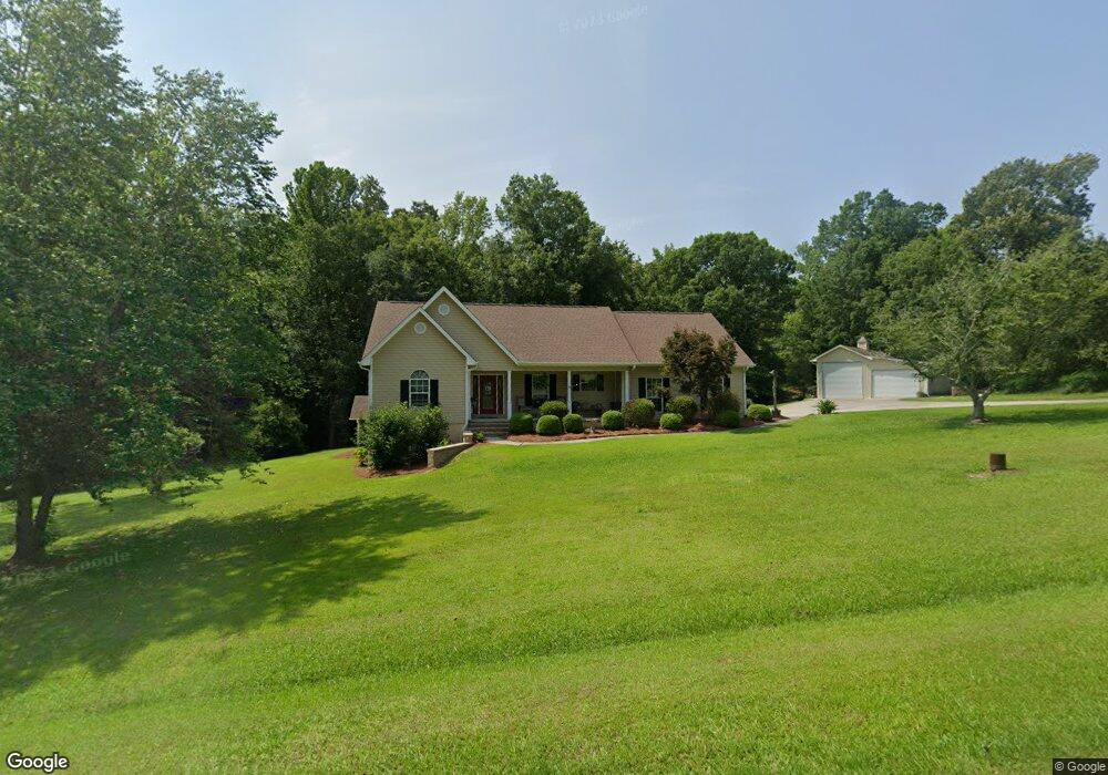
8785 Scott Dr Macon, GA 31220
Estimated Value: $216,000 - $290,000
3
Beds
2
Baths
1,786
Sq Ft
$143/Sq Ft
Est. Value
About This Home
This home is located at 8785 Scott Dr, Macon, GA 31220 and is currently estimated at $255,153, approximately $142 per square foot. 8785 Scott Dr is a home located in Bibb County with nearby schools including Heritage Elementary School, Weaver Middle School, and Westside High School.
Ownership History
Date
Name
Owned For
Owner Type
Purchase Details
Closed on
Jun 21, 2006
Sold by
Johnson Walter E and Johnson Patsy S
Bought by
Wilson Mark D and Wilson Kristie J
Current Estimated Value
Home Financials for this Owner
Home Financials are based on the most recent Mortgage that was taken out on this home.
Original Mortgage
$125,000
Interest Rate
6.49%
Mortgage Type
New Conventional
Create a Home Valuation Report for This Property
The Home Valuation Report is an in-depth analysis detailing your home's value as well as a comparison with similar homes in the area
Home Values in the Area
Average Home Value in this Area
Purchase History
| Date | Buyer | Sale Price | Title Company |
|---|---|---|---|
| Wilson Mark D | $167,400 | None Avelable |
Source: Public Records
Mortgage History
| Date | Status | Borrower | Loan Amount |
|---|---|---|---|
| Closed | Wilson Mark D | $125,000 |
Source: Public Records
Tax History Compared to Growth
Tax History
| Year | Tax Paid | Tax Assessment Tax Assessment Total Assessment is a certain percentage of the fair market value that is determined by local assessors to be the total taxable value of land and additions on the property. | Land | Improvement |
|---|---|---|---|---|
| 2025 | $2,005 | $88,589 | $5,478 | $83,111 |
| 2024 | $2,072 | $88,589 | $5,478 | $83,111 |
| 2023 | $1,583 | $87,325 | $4,214 | $83,111 |
| 2022 | $2,650 | $83,540 | $10,419 | $73,121 |
| 2021 | $2,908 | $83,540 | $10,419 | $73,121 |
| 2020 | $2,972 | $83,540 | $10,419 | $73,121 |
| 2019 | $2,658 | $74,908 | $10,419 | $64,489 |
| 2018 | $4,251 | $74,908 | $10,419 | $64,489 |
| 2017 | $2,544 | $74,908 | $10,419 | $64,489 |
| 2016 | $2,349 | $74,908 | $10,419 | $64,489 |
| 2015 | $3,326 | $74,908 | $10,419 | $64,489 |
| 2014 | $3,331 | $74,908 | $10,419 | $64,489 |
Source: Public Records
Map
Nearby Homes
- 8294 Shelley Trail
- 2198 Dennis Rd
- 519 Bluewater Bay Dr
- 511 Bluewater Bay Dr
- 402 Harbor Cove Dr
- 402 Harbor Cove Dr Unit 32
- 112 Peninsula Ave
- 156 Peninsula Ave
- 140 Peninsula Ave
- 104 Peninsula Ave
- 104 Peninsula Ave Unit LOT 49
- 2550 Midway Rd
- 8278 Lower Thomaston Rd
- 137 Shady Dale Dr
- 207 Josiah Ct
- 205 Josiah Ct
- 1302 Barrington Place Cove
- 1405 Barrington Place Ln
- Plan 3040 at Barrington Place
- Plan 2700 at Barrington Place
- 8795 Scott Dr
- 8794 Scott Dr
- 8695 Scott Dr
- 8698 Scott Dr
- 8694 Scott Dr
- 8669 Scott Dr
- 8660 Scott Dr
- 8653 Scott Dr
- 8700 Scott Dr
- 9247 Lower Thomaston Rd
- 8640 Scott Dr
- 1250 Moseley Rd
- 8635 Scott Dr
- 1280 Moseley Rd
- 9281 Lower Thomaston Rd
- 1244 Moseley Rd
- 8627 Scott Dr
- 1155 Bonner Gilbert Rd
- 1227 Bonner Gilbert Rd
- 9387 Lower Thomaston Rd