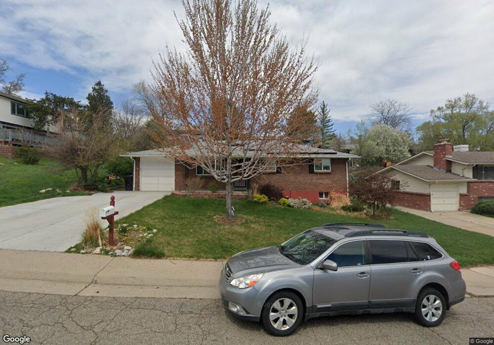
8785 W 66th Cir Arvada, CO 80004
Scenic Heights NeighborhoodEstimated Value: $577,000 - $656,244
5
Beds
3
Baths
2,080
Sq Ft
$297/Sq Ft
Est. Value
About This Home
This home is located at 8785 W 66th Cir, Arvada, CO 80004 and is currently estimated at $618,561, approximately $297 per square foot. 8785 W 66th Cir is a home located in Jefferson County with nearby schools including Secrest Elementary School, Peck Elementary School, and Arvada K-8.
Ownership History
Date
Name
Owned For
Owner Type
Purchase Details
Closed on
Jan 15, 2016
Sold by
Brockish Donald F and Brockish Kristie L
Bought by
Arpin Greg R and Arpin Katie M
Current Estimated Value
Home Financials for this Owner
Home Financials are based on the most recent Mortgage that was taken out on this home.
Original Mortgage
$239,900
Outstanding Balance
$190,673
Interest Rate
3.94%
Mortgage Type
New Conventional
Estimated Equity
$427,888
Purchase Details
Closed on
Aug 31, 1994
Sold by
Hageman Richard L
Bought by
Brockish Donald F and Brockish Kristie L
Create a Home Valuation Report for This Property
The Home Valuation Report is an in-depth analysis detailing your home's value as well as a comparison with similar homes in the area
Home Values in the Area
Average Home Value in this Area
Purchase History
| Date | Buyer | Sale Price | Title Company |
|---|---|---|---|
| Arpin Greg R | $299,900 | None Available | |
| Brockish Donald F | $98,900 | -- |
Source: Public Records
Mortgage History
| Date | Status | Borrower | Loan Amount |
|---|---|---|---|
| Open | Arpin Greg R | $239,900 |
Source: Public Records
Tax History Compared to Growth
Tax History
| Year | Tax Paid | Tax Assessment Tax Assessment Total Assessment is a certain percentage of the fair market value that is determined by local assessors to be the total taxable value of land and additions on the property. | Land | Improvement |
|---|---|---|---|---|
| 2024 | $3,647 | $37,604 | $18,511 | $19,093 |
| 2023 | $3,647 | $37,604 | $18,511 | $19,093 |
| 2022 | $3,049 | $31,135 | $14,360 | $16,775 |
| 2021 | $3,099 | $32,030 | $14,773 | $17,257 |
| 2020 | $2,668 | $27,643 | $11,551 | $16,092 |
| 2019 | $2,632 | $27,643 | $11,551 | $16,092 |
| 2018 | $2,499 | $25,523 | $8,825 | $16,698 |
| 2017 | $2,288 | $25,523 | $8,825 | $16,698 |
| 2016 | $1,938 | $20,372 | $6,092 | $14,280 |
| 2015 | $1,684 | $20,372 | $6,092 | $14,280 |
| 2014 | $1,684 | $16,628 | $5,158 | $11,470 |
Source: Public Records
Map
Nearby Homes
- 9173 W 66th Place
- 6455 Field St
- 6801 Carr St
- 6750 Garrison St
- 8300 W 67th Ave
- 8612 W 69th Place
- 6463 Brentwood St
- 6355 Carr St
- 6409 Brentwood St
- 6250 Everett Ct Unit E
- 6842 Garland St
- 6240 Everett Ct Unit F
- 6200 Estes St
- 6958 Brentwood Ct
- 6780 Allison St
- 8090 W 68th Ave
- 6902 Ammons St
- 8233 W 62nd Place
- 7126 Dudley Dr
- 8710 Alta Vista Dr
- 8765 W 66th Cir
- 6650 Estes St
- 8752 W 67th Ave
- 8782 W 67th Ave
- 8742 W 67th Ave
- 8745 W 66th Cir
- 8774 W 66th Cir
- 8754 W 66th Cir
- 6656 Estes St
- 8794 W 66th Cir
- 8722 W 67th Ave
- 8734 W 66th Cir
- 8725 W 66th Cir
- 8777 W 66th Place
- 8763 W 67th Ave
- 8702 W 67th Ave
- 8747 W 66th Place
- 8753 W 67th Ave
- 6596 Estes St
- 8793 W 67th Ave