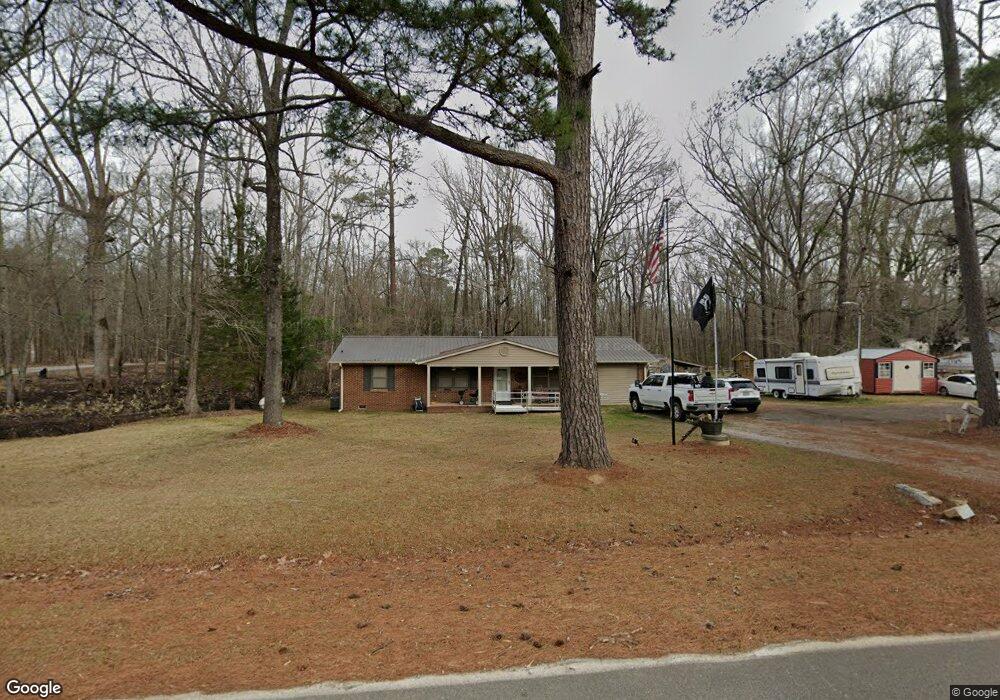
879 George McDuffie Rd Dearing, GA 30808
Estimated Value: $146,000 - $179,000
3
Beds
2
Baths
1,125
Sq Ft
$146/Sq Ft
Est. Value
About This Home
This home is located at 879 George McDuffie Rd, Dearing, GA 30808 and is currently estimated at $163,839, approximately $145 per square foot. 879 George McDuffie Rd is a home located in McDuffie County with nearby schools including Thomson High School.
Ownership History
Date
Name
Owned For
Owner Type
Purchase Details
Closed on
Apr 3, 2014
Sold by
Land Montine C
Bought by
Bohler Danny
Current Estimated Value
Home Financials for this Owner
Home Financials are based on the most recent Mortgage that was taken out on this home.
Original Mortgage
$35,262
Interest Rate
4.33%
Mortgage Type
New Conventional
Purchase Details
Closed on
Feb 27, 2002
Sold by
Land Connell and Land Montine C
Bought by
Land Montine
Purchase Details
Closed on
Jun 6, 1970
Bought by
Land Connell and Land Montine C
Create a Home Valuation Report for This Property
The Home Valuation Report is an in-depth analysis detailing your home's value as well as a comparison with similar homes in the area
Home Values in the Area
Average Home Value in this Area
Purchase History
| Date | Buyer | Sale Price | Title Company |
|---|---|---|---|
| Bohler Danny | $42,000 | -- | |
| Land Montine | -- | -- | |
| Land Connell | -- | -- |
Source: Public Records
Mortgage History
| Date | Status | Borrower | Loan Amount |
|---|---|---|---|
| Closed | Bohler Danny | $35,262 |
Source: Public Records
Tax History Compared to Growth
Tax History
| Year | Tax Paid | Tax Assessment Tax Assessment Total Assessment is a certain percentage of the fair market value that is determined by local assessors to be the total taxable value of land and additions on the property. | Land | Improvement |
|---|---|---|---|---|
| 2025 | $60 | $48,181 | $2,955 | $45,226 |
| 2024 | $60 | $40,141 | $1,917 | $38,224 |
| 2023 | $60 | $38,547 | $1,917 | $36,630 |
| 2022 | $60 | $32,579 | $1,917 | $30,662 |
| 2021 | $37 | $26,121 | $1,861 | $24,260 |
| 2020 | $437 | $15,503 | $1,021 | $14,482 |
| 2019 | $442 | $15,503 | $1,021 | $14,482 |
| 2018 | $442 | $15,503 | $1,021 | $14,482 |
| 2017 | $426 | $15,503 | $1,021 | $14,482 |
| 2016 | $426 | $15,503 | $1,021 | $14,482 |
| 2015 | $417 | $16,637 | $2,155 | $14,482 |
| 2014 | $417 | $16,638 | $2,155 | $14,482 |
| 2013 | -- | $18,560 | $2,155 | $16,405 |
Source: Public Records
Map
Nearby Homes
- 789 George McDuffie Rd
- 1761 Augusta Hwy
- 1463 Lokey Dr
- 1543 Wrens Hwy
- 000 Wrens Hwy
- 1008 Wrens Hwy
- 0 Wrens Hwy Unit 10652460
- 0 Wrens Hwy Unit 549833
- 415 Stonewall Dr
- 306 Michael St
- 118 Langham St
- 2522 Ellington Airline Rd
- 416 Forrest Clary Dr
- 709 Pine Lane Dr
- A-00 Harrison Rd
- 354 King St
- 421 Salem Rd
- 609 Hillcrest Dr
- 0 Mitchner Rd Unit 548843
- 67 Shadowmoor Cir
- 895 George McDuffie Rd
- 863 George McDuffie Rd
- 829 George McDuffie Rd
- 947 George McDuffie Rd
- 805 George McDuffie Rd
- 853 George McDuffie Rd
- 745 George McDuffie Rd
- 1027 George McDuffie Rd
- 713 George McDuffie Rd
- 1900 Salem Rd
- 679 George McDuffie Rd
- 1866 Salem Rd
- 1850 Salem Rd
- 1912 Salem Rd
- 1930 Salem Rd
- 1798 Salem Rd
- 1812 Salem Rd
- 1900 Salem Rd
- 1841 Salem Rd