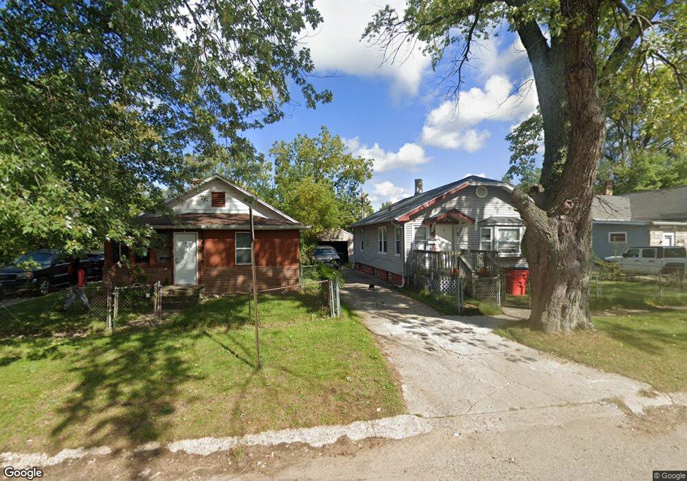
879 Mineral Ave Unit 1 Benton Harbor, MI 49022
Estimated Value: $65,000 - $125,000
4
Beds
1
Bath
1,320
Sq Ft
$66/Sq Ft
Est. Value
About This Home
This home is located at 879 Mineral Ave Unit 1, Benton Harbor, MI 49022 and is currently estimated at $87,010, approximately $65 per square foot. 879 Mineral Ave Unit 1 is a home located in Berrien County with nearby schools including Fair Plain Middle School, Benton Harbor High School, and Benton Harbor Charter School Academy.
Ownership History
Date
Name
Owned For
Owner Type
Purchase Details
Closed on
Jan 5, 2007
Sold by
Tyler Jimmie W
Bought by
Tyler Jimmie W and Tyler Latoyla
Current Estimated Value
Home Financials for this Owner
Home Financials are based on the most recent Mortgage that was taken out on this home.
Original Mortgage
$35,000
Outstanding Balance
$20,893
Interest Rate
6.19%
Mortgage Type
New Conventional
Estimated Equity
$66,117
Purchase Details
Closed on
Dec 4, 2002
Sold by
Citimortgage Inc
Bought by
Tyler Jimmie
Purchase Details
Closed on
Mar 15, 2001
Purchase Details
Closed on
Apr 27, 1999
Create a Home Valuation Report for This Property
The Home Valuation Report is an in-depth analysis detailing your home's value as well as a comparison with similar homes in the area
Home Values in the Area
Average Home Value in this Area
Purchase History
| Date | Buyer | Sale Price | Title Company |
|---|---|---|---|
| Tyler Jimmie W | -- | None Available | |
| Tyler Jimmie | $13,000 | Chicago Title Of Mi Inc | |
| -- | $36,500 | -- | |
| -- | $33,000 | -- |
Source: Public Records
Mortgage History
| Date | Status | Borrower | Loan Amount |
|---|---|---|---|
| Open | Tyler Jimmie W | $35,000 |
Source: Public Records
Tax History Compared to Growth
Tax History
| Year | Tax Paid | Tax Assessment Tax Assessment Total Assessment is a certain percentage of the fair market value that is determined by local assessors to be the total taxable value of land and additions on the property. | Land | Improvement |
|---|---|---|---|---|
| 2025 | $772 | $30,100 | $0 | $0 |
| 2024 | $743 | $26,700 | $0 | $0 |
| 2023 | $594 | $18,800 | $0 | $0 |
| 2022 | $674 | $14,100 | $0 | $0 |
| 2021 | $734 | $14,000 | $800 | $13,200 |
| 2020 | $670 | $14,300 | $0 | $0 |
| 2019 | $1,013 | $12,800 | $0 | $0 |
| 2018 | $748 | $13,400 | $0 | $0 |
| 2017 | $735 | $10,200 | $0 | $0 |
| 2016 | $619 | $10,300 | $0 | $0 |
| 2015 | $618 | $9,900 | $0 | $0 |
| 2014 | $646 | $12,000 | $0 | $0 |
Source: Public Records
Map
Nearby Homes
- 419 Packard St
- 806 Pitkins Ave
- 688 S Fair Ave
- 710 Buss Ave
- 992 Highland Ave
- 696 Highland Ave
- 137 Cornelia St
- 416 E Britain Ave
- 1069 E Main St
- 238 Pine St
- 391 Pipestone St
- 0 V/L E Empire Ave
- 378 Pipestone St
- 730 Superior St
- 6525 Territorial Rd
- 234 Walnut St
- 363 Brunson Ave
- 309 High St
- 960 Jennings Ave
- 1226 Chicago Ave
- 879 Mineral Ave
- 875 Mineral Ave
- 855 Mineral Ave
- 885 Mineral Ave
- 847 Mineral Ave
- 428 S Fair Ave
- 868 Mineral Ave
- 839 Mineral Ave
- 860 Mineral Ave
- 876 Mcguigan Ave
- 860 Mcguigan Ave
- 846 Mcguigan Ave
- 854 Mineral Ave
- 456 S Fair Ave
- 852 Mcguigan Ave
- 846 Mineral Ave
- 425 S Seeley St
- 838 Mcguigan Ave
- 838 Mineral Ave
- 405 S Fair Ave