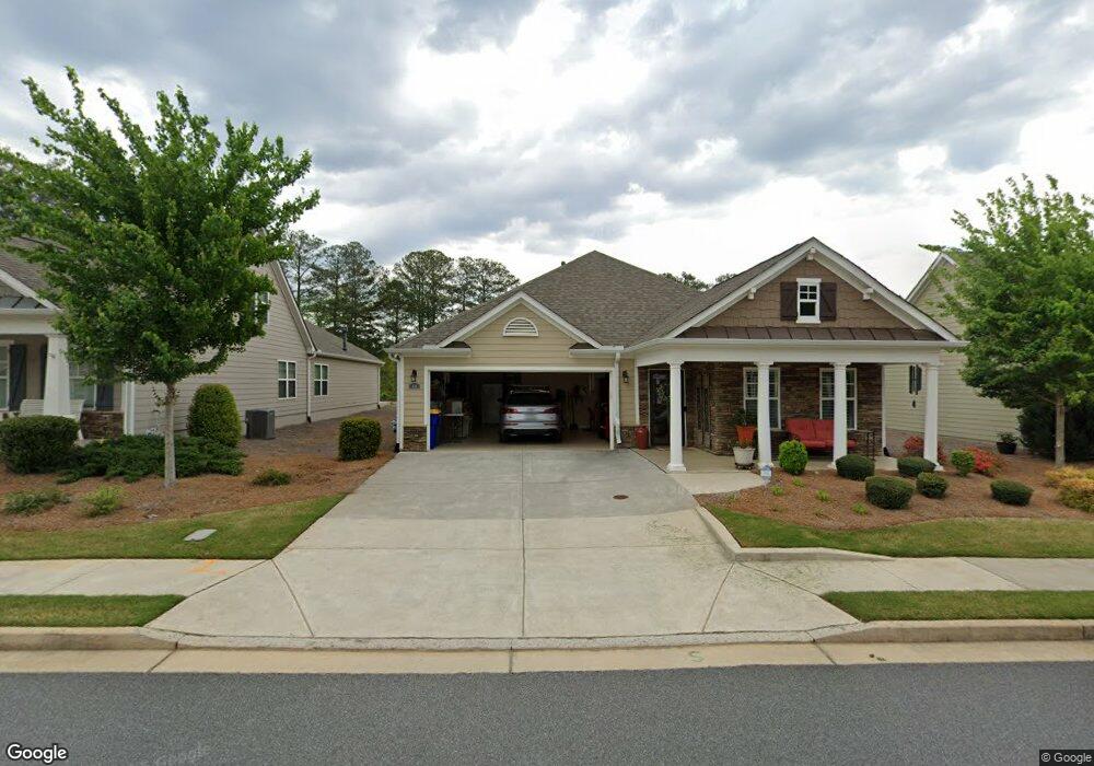
879 Oban Ct Powder Springs, GA 30127
West Cobb NeighborhoodEstimated Value: $492,530 - $582,000
2
Beds
2
Baths
2,210
Sq Ft
$242/Sq Ft
Est. Value
About This Home
This home is located at 879 Oban Ct, Powder Springs, GA 30127 and is currently estimated at $534,133, approximately $241 per square foot. 879 Oban Ct is a home with nearby schools including Kemp Elementary School, Lost Mountain Middle School, and Hillgrove High School.
Ownership History
Date
Name
Owned For
Owner Type
Purchase Details
Closed on
Feb 28, 2025
Sold by
Oliver Patricia E
Bought by
Carl T Olver And Patricia E Oliver Revocable and Oliver
Current Estimated Value
Purchase Details
Closed on
Dec 8, 2021
Sold by
Oliver Patricia E
Bought by
Oliver Patricia E
Purchase Details
Closed on
Dec 12, 2019
Sold by
Mcconnell Green Llc
Bought by
Windsong Properties Llc
Home Financials for this Owner
Home Financials are based on the most recent Mortgage that was taken out on this home.
Original Mortgage
$225,000
Interest Rate
3.7%
Mortgage Type
New Conventional
Create a Home Valuation Report for This Property
The Home Valuation Report is an in-depth analysis detailing your home's value as well as a comparison with similar homes in the area
Home Values in the Area
Average Home Value in this Area
Purchase History
| Date | Buyer | Sale Price | Title Company |
|---|---|---|---|
| Carl T Olver And Patricia E Oliver Revocable | -- | None Listed On Document | |
| Carl T Olver And Patricia E Oliver Revocable | -- | None Listed On Document | |
| Oliver Patricia E | -- | Drexinger Law Firm Pc | |
| Windsong Properties Llc | -- | -- | |
| Oliver Patricia E | $424,782 | -- |
Source: Public Records
Mortgage History
| Date | Status | Borrower | Loan Amount |
|---|---|---|---|
| Previous Owner | Oliver Patricia E | $225,000 |
Source: Public Records
Tax History Compared to Growth
Tax History
| Year | Tax Paid | Tax Assessment Tax Assessment Total Assessment is a certain percentage of the fair market value that is determined by local assessors to be the total taxable value of land and additions on the property. | Land | Improvement |
|---|---|---|---|---|
| 2025 | $1,832 | $201,184 | $42,000 | $159,184 |
| 2024 | $1,836 | $201,184 | $42,000 | $159,184 |
| 2023 | $1,495 | $155,956 | $42,000 | $113,956 |
| 2022 | $1,701 | $155,956 | $42,000 | $113,956 |
| 2021 | $1,701 | $155,956 | $42,000 | $113,956 |
| 2020 | $1,701 | $155,956 | $42,000 | $113,956 |
| 2019 | $911 | $30,000 | $30,000 | $0 |
Source: Public Records
Map
Nearby Homes
- 5105 Hillside Haven Dr SW
- 5113 Hillside Haven Dr SW
- 5133 Hillside Haven Dr SW
- 5121 Hillside Haven Dr SW
- 5117 Hillside Haven Dr SW
- 5129 Hillside Haven Dr SW
- 742 Crossroad Ct
- 705 Crossroad Ct
- 719 Crossroad Ct
- 5696 Attadale Bend SW
- 0 Corner Rd Unit 10504671
- 0 Corner Rd Unit 7563643
- 5136 Castlehaven Bend
- 1033 Davenport Cir