879 Robinson Rd Andrews, NC 28901
Estimated Value: $213,000 - $357,152
6
Beds
5
Baths
2,957
Sq Ft
$99/Sq Ft
Est. Value
About This Home
This home is located at 879 Robinson Rd, Andrews, NC 28901 and is currently estimated at $291,788, approximately $98 per square foot. 879 Robinson Rd is a home located in Cherokee County with nearby schools including Andrews Elementary School, Andrews Middle School, and Andrews High School.
Ownership History
Date
Name
Owned For
Owner Type
Purchase Details
Closed on
Mar 13, 2020
Sold by
Caivano Santo and Caivano Tracy
Bought by
Morales Everardo Maximo Diaz and Bravo Guadalupe Menchu
Current Estimated Value
Home Financials for this Owner
Home Financials are based on the most recent Mortgage that was taken out on this home.
Original Mortgage
$95,000
Outstanding Balance
$83,650
Interest Rate
3.2%
Mortgage Type
Seller Take Back
Estimated Equity
$208,138
Purchase Details
Closed on
Oct 6, 2009
Sold by
Caivano Santo and Caivano Christine
Bought by
Caivano Anthony and Caivano Diana
Purchase Details
Closed on
Aug 21, 2009
Sold by
Caivano Anthony and Caivano Diane
Bought by
Caivano Santo and Caivano Anthony
Create a Home Valuation Report for This Property
The Home Valuation Report is an in-depth analysis detailing your home's value as well as a comparison with similar homes in the area
Home Values in the Area
Average Home Value in this Area
Purchase History
| Date | Buyer | Sale Price | Title Company |
|---|---|---|---|
| Morales Everardo Maximo Diaz | $120,000 | None Available | |
| Caivano Anthony | -- | -- | |
| Caivano Santo | -- | -- |
Source: Public Records
Mortgage History
| Date | Status | Borrower | Loan Amount |
|---|---|---|---|
| Open | Morales Everardo Maximo Diaz | $95,000 |
Source: Public Records
Tax History Compared to Growth
Tax History
| Year | Tax Paid | Tax Assessment Tax Assessment Total Assessment is a certain percentage of the fair market value that is determined by local assessors to be the total taxable value of land and additions on the property. | Land | Improvement |
|---|---|---|---|---|
| 2024 | $1,155 | $161,070 | $0 | $0 |
| 2023 | $1,172 | $165,260 | $0 | $0 |
| 2022 | $1,172 | $165,260 | $0 | $0 |
| 2021 | $991 | $165,260 | $15,620 | $149,640 |
| 2020 | $495 | $165,260 | $0 | $0 |
| 2019 | $970 | $154,600 | $0 | $0 |
| 2018 | $779 | $154,600 | $0 | $0 |
| 2017 | $529 | $154,600 | $0 | $0 |
| 2016 | $779 | $154,600 | $0 | $0 |
| 2015 | $779 | $154,600 | $38,400 | $116,200 |
| 2012 | -- | $154,600 | $38,400 | $116,200 |
Source: Public Records
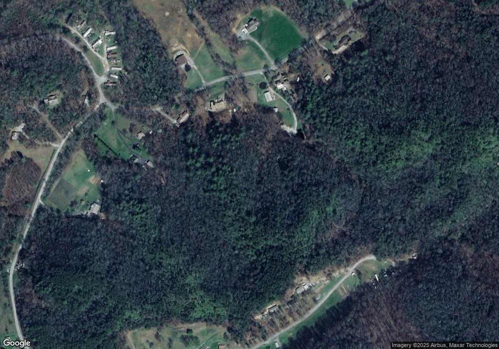
Map
Nearby Homes
- 465 Robinson Rd
- 317 Robinson Rd
- TBD Mclean Rd
- 2555 Junaluska Rd
- 88 acres Bolden Branch Rd
- 105 Gipp Creek Rd
- 508 Bolden Branch Rd
- 86 Pine Grove Dr
- 29 Lazy Bear Trail
- 00 Collett Woods Trail
- 109 Lazy Bear Trail
- 121 Lazy Bear Trail
- Lot 22 Laramie Heights
- TBD Wood Collett Cove
- 984 Cahill Dr
- 29 Breedlove Dr
- 200 Conager Trail
- 2980 Junaluska Rd
- 35 & 36 Cahill Dr
- 00 Cahill Dr
- 0 Robinson Rd Unit 254326
- 147 Robinson Rd
- LOT 3 Robinson Rd
- LOT13 Robinson Rd
- LOT12 Robinson Rd
- LOT 9 Robinson Rd
- LOT11 Robinson Rd
- NA Robinson Rd
- LOT 7 Robinson Rd
- LOT 6 Robinson Rd
- LOT 5 Robinson Rd
- LOT 4 Robinson Rd
- LOT 2 Robinson Rd
- LOT 1 Robinson Rd
- 23 Robinson Rd
- 500 Robinson Rd
- 72 Robinson Rd
- 00 Robinson Rd
- 0 Robinson Rd
- 965 Robinson Rd