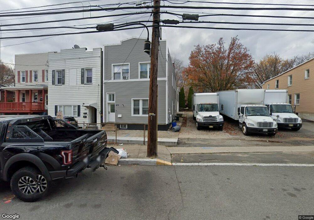
879 State St Perth Amboy, NJ 08861
Maurer NeighborhoodEstimated Value: $527,000 - $620,000
--
Bed
--
Bath
1,932
Sq Ft
$296/Sq Ft
Est. Value
About This Home
This home is located at 879 State St, Perth Amboy, NJ 08861 and is currently estimated at $572,603, approximately $296 per square foot. 879 State St is a home located in Middlesex County with nearby schools including Perth Amboy High School, Academy for Urban Leadership Charter School, and Assumption Catholic School.
Ownership History
Date
Name
Owned For
Owner Type
Purchase Details
Closed on
Nov 6, 2024
Sold by
Geraldos Trucking Corp
Bought by
Geraldo Realty Llc
Current Estimated Value
Purchase Details
Closed on
Jan 25, 2017
Sold by
Birch Investmetns Llc
Bought by
Geraldo S Trucking Corp
Purchase Details
Closed on
Oct 26, 2016
Sold by
Scott Mildred S
Bought by
Fna Jersey Lien Services Llc
Purchase Details
Closed on
Jul 12, 1996
Sold by
Sokolowski Walter
Bought by
Pires Mario and Pires Maria
Home Financials for this Owner
Home Financials are based on the most recent Mortgage that was taken out on this home.
Original Mortgage
$132,000
Interest Rate
8.27%
Create a Home Valuation Report for This Property
The Home Valuation Report is an in-depth analysis detailing your home's value as well as a comparison with similar homes in the area
Home Values in the Area
Average Home Value in this Area
Purchase History
| Date | Buyer | Sale Price | Title Company |
|---|---|---|---|
| Geraldo Realty Llc | -- | None Listed On Document | |
| Geraldo Realty Llc | -- | None Listed On Document | |
| Geraldo S Trucking Corp | $95,000 | Fortune Title Agency | |
| Fna Jersey Lien Services Llc | -- | None Available | |
| Pires Mario | $100,000 | -- |
Source: Public Records
Mortgage History
| Date | Status | Borrower | Loan Amount |
|---|---|---|---|
| Previous Owner | Pires Mario | $132,000 |
Source: Public Records
Tax History Compared to Growth
Tax History
| Year | Tax Paid | Tax Assessment Tax Assessment Total Assessment is a certain percentage of the fair market value that is determined by local assessors to be the total taxable value of land and additions on the property. | Land | Improvement |
|---|---|---|---|---|
| 2025 | $10,840 | $359,300 | $91,700 | $267,600 |
| 2024 | $10,819 | $359,300 | $91,700 | $267,600 |
| 2023 | $10,819 | $359,300 | $91,700 | $267,600 |
| 2022 | $8,955 | $301,000 | $91,700 | $209,300 |
| 2021 | $8,967 | $301,000 | $91,700 | $209,300 |
| 2020 | $8,964 | $301,000 | $91,700 | $209,300 |
| 2019 | $8,997 | $301,000 | $91,700 | $209,300 |
| 2018 | $8,919 | $301,000 | $91,700 | $209,300 |
| 2017 | $8,901 | $301,000 | $91,700 | $209,300 |
| 2016 | $8,669 | $301,000 | $91,700 | $209,300 |
| 2015 | $8,729 | $301,000 | $91,700 | $209,300 |
| 2014 | $8,783 | $301,000 | $91,700 | $209,300 |
Source: Public Records
Map
Nearby Homes
- 278 Alpine St
- 335 Alpine St
- 381 Keene St
- 168 Lynd St
- 680 Charles St
- 435 Ashley St
- 434 Lawrence St Unit 19
- 676 Johnstone St
- 212 Hall Ave
- 270 Hall Ave
- 646 Johnstone St
- 816 Harbortown Blvd
- 794 Harbortown Blvd
- 514 S Park Dr
- 649 Cornell St
- 537 Harding Ave
- 547 S Park Dr
- 752 Donald Ave
- 744 Donald Ave
- 519 W Side Ave