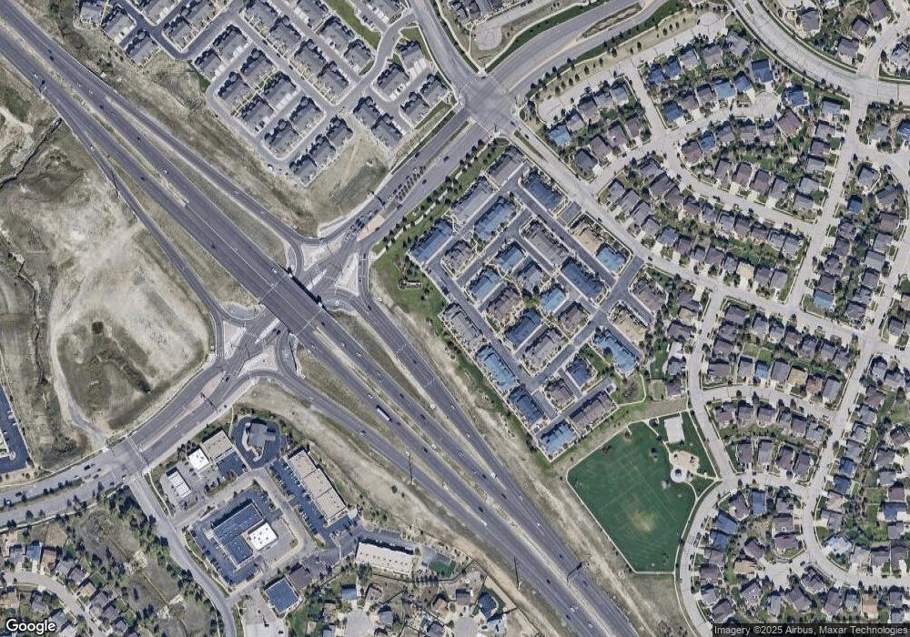
8790 Quinn Point Colorado Springs, CO 80924
Wolf Ranch NeighborhoodEstimated Value: $372,439 - $406,000
2
Beds
2
Baths
1,392
Sq Ft
$278/Sq Ft
Est. Value
About This Home
This home is located at 8790 Quinn Point, Colorado Springs, CO 80924 and is currently estimated at $387,360, approximately $278 per square foot. 8790 Quinn Point is a home located in El Paso County with nearby schools including Legacy Peak Elementary School, Chinook Trail Middle School, and Liberty High School.
Ownership History
Date
Name
Owned For
Owner Type
Purchase Details
Closed on
Dec 12, 2023
Sold by
Lewis William G
Bought by
William G Lewis Ii Living Trust
Current Estimated Value
Purchase Details
Closed on
Aug 20, 2018
Sold by
Pizzimenti Dena M
Bought by
Lewis Ii William G
Home Financials for this Owner
Home Financials are based on the most recent Mortgage that was taken out on this home.
Original Mortgage
$118,462
Interest Rate
4.5%
Mortgage Type
New Conventional
Purchase Details
Closed on
Apr 22, 2008
Sold by
Tousa Homes Inc
Bought by
Lee Wayne R
Home Financials for this Owner
Home Financials are based on the most recent Mortgage that was taken out on this home.
Original Mortgage
$99,500
Interest Rate
6.11%
Mortgage Type
Unknown
Create a Home Valuation Report for This Property
The Home Valuation Report is an in-depth analysis detailing your home's value as well as a comparison with similar homes in the area
Home Values in the Area
Average Home Value in this Area
Purchase History
| Date | Buyer | Sale Price | Title Company |
|---|---|---|---|
| William G Lewis Ii Living Trust | -- | None Listed On Document | |
| Lewis Ii William G | $267,000 | North American Title Co | |
| Lee Wayne R | $220,000 | None Available |
Source: Public Records
Mortgage History
| Date | Status | Borrower | Loan Amount |
|---|---|---|---|
| Previous Owner | Lewis Ii William G | $118,462 | |
| Previous Owner | Lee Wayne R | $99,500 |
Source: Public Records
Tax History Compared to Growth
Tax History
| Year | Tax Paid | Tax Assessment Tax Assessment Total Assessment is a certain percentage of the fair market value that is determined by local assessors to be the total taxable value of land and additions on the property. | Land | Improvement |
|---|---|---|---|---|
| 2025 | $2,070 | $27,270 | -- | -- |
| 2024 | $2,014 | $26,880 | $5,360 | $21,520 |
| 2023 | $2,014 | $26,880 | $5,360 | $21,520 |
| 2022 | $1,910 | $20,650 | $3,480 | $17,170 |
| 2021 | $2,062 | $21,250 | $3,580 | $17,670 |
| 2020 | $1,953 | $19,040 | $2,680 | $16,360 |
| 2019 | $1,937 | $19,040 | $2,680 | $16,360 |
| 2018 | $1,711 | $16,620 | $2,300 | $14,320 |
| 2017 | $1,706 | $16,620 | $2,300 | $14,320 |
| 2016 | $1,722 | $17,170 | $2,230 | $14,940 |
| 2015 | $1,720 | $17,170 | $2,230 | $14,940 |
| 2014 | $1,650 | $16,460 | $2,230 | $14,230 |
Source: Public Records
Map
Nearby Homes
- 5414 Cushing Grove
- 5408 Cushing Grove
- 5426 Cushing Grove
- 8728 Eckberg Heights
- 8760 Eckberg Heights
- 8688 Eckberg Heights
- 8745 Rose Grace Heights
- 8405 Andrus Dr
- 5060 Mountain Vista Heights
- 8952 Tutt Blvd
- 8352 James Creek Dr
- 7543 Potomac Dr
- 9426 Wolf Valley Dr
- 9484 Simper Heights
- 9436 Wolf Valley Dr
- 5718 Paladin Place
- 5654 Cisco Dr
- 8017 Radcliff Dr
- 8077 Radcliff Dr
- 8313 Scarborough Dr
- 8782 Quinn Point
- 8774 Quinn Point
- 8766 Quinn Point
- 8758 Quinn Point
- 5405 Smokey Heights
- 8750 Quinn Point
- 5411 Smokey Heights
- 5403 Lester Alley
- 5417 Smokey Heights
- 5406 Smokey Heights
- 5409 Lester Alley
- 8742 Quinn Point
- 5423 Smokey Heights
- 5415 Lester Alley
- 5412 Smokey Heights
- 8734 Quinn Point
- 5404 Seal Alley
- 5421 Lester Alley
- 5424 Smokey Heights
- 8726 Quinn Point
