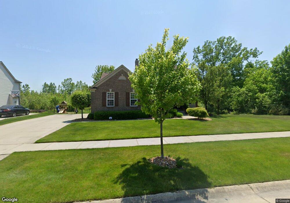
8794 Amaranth Ln Ypsilanti, MI 48197
Estimated Value: $478,000 - $508,000
4
Beds
3
Baths
2,419
Sq Ft
$202/Sq Ft
Est. Value
About This Home
This home is located at 8794 Amaranth Ln, Ypsilanti, MI 48197 and is currently estimated at $487,594, approximately $201 per square foot. 8794 Amaranth Ln is a home located in Washtenaw County with nearby schools including Lincoln Senior High School, East Arbor Charter Academy, and Arbor Preparatory High School.
Ownership History
Date
Name
Owned For
Owner Type
Purchase Details
Closed on
Mar 28, 2014
Sold by
Poe Miriam Louise
Bought by
Poe Miriam Louise and Poe Teresza
Current Estimated Value
Purchase Details
Closed on
Mar 26, 2008
Sold by
Pulte Land Co Llc
Bought by
Poe Miriam Louise
Home Financials for this Owner
Home Financials are based on the most recent Mortgage that was taken out on this home.
Original Mortgage
$276,950
Outstanding Balance
$176,622
Interest Rate
6.1%
Mortgage Type
Unknown
Estimated Equity
$310,972
Create a Home Valuation Report for This Property
The Home Valuation Report is an in-depth analysis detailing your home's value as well as a comparison with similar homes in the area
Home Values in the Area
Average Home Value in this Area
Purchase History
| Date | Buyer | Sale Price | Title Company |
|---|---|---|---|
| Poe Miriam Louise | -- | None Available | |
| Poe Miriam Louise | $92,000 | Fidelity National Title |
Source: Public Records
Mortgage History
| Date | Status | Borrower | Loan Amount |
|---|---|---|---|
| Open | Poe Miriam Louise | $276,950 |
Source: Public Records
Tax History Compared to Growth
Tax History
| Year | Tax Paid | Tax Assessment Tax Assessment Total Assessment is a certain percentage of the fair market value that is determined by local assessors to be the total taxable value of land and additions on the property. | Land | Improvement |
|---|---|---|---|---|
| 2025 | -- | $225,500 | $0 | $0 |
| 2024 | $3,925 | $205,600 | $0 | $0 |
| 2023 | -- | $186,200 | $0 | $0 |
| 2022 | $0 | $166,700 | $0 | $0 |
| 2021 | $5,057 | $160,700 | $0 | $0 |
| 2020 | $5,560 | $153,700 | $0 | $0 |
| 2019 | $2,295 | $140,300 | $140,300 | $0 |
| 2018 | $0 | $132,900 | $0 | $0 |
| 2017 | $5,070 | $130,900 | $0 | $0 |
| 2016 | $3,103 | $106,591 | $0 | $0 |
| 2015 | $4,803 | $106,273 | $0 | $0 |
| 2014 | $4,803 | $103,731 | $0 | $0 |
| 2013 | -- | $103,731 | $0 | $0 |
Source: Public Records
Map
Nearby Homes
- 6650 Wing St
- 8933 Ringneck Dr
- 8770 Lilly Dr
- 9163 White Tail Ct
- 6755 Shula Vista
- 8982 Creekway Dr
- 9081 Creekway Dr
- 6081 S Miami St
- 6649 Maplelawn Dr
- 9480 White Tail Dr
- 6667 Maplelawn Dr
- 6167 Colony Park Dr Unit 33
- 9050 Textile Rd
- 8350 Thornhill Dr
- 7140 Maplelawn Dr
- 8501 Martz Rd
- 7010 Bunton Rd
- 9551 Falmouth Dr
- 7366 Maplelawn Dr
- 5934 E Island Dr Unit 32
- 8808 Amaranth Ln
- 0 Amaranth Ln
- 8822 Amaranth Ln
- 8795 Amaranth Ln
- 8762 Amaranth Ln
- 8809 Amaranth Ln
- 8836 Amaranth Ln
- 8823 Amaranth Ln
- 8757 Amaranth Ln
- 8742 Amaranth Ln
- 8837 Amaranth Ln
- 8850 Amaranth Ln
- 8747 Prairie St
- 8739 Amaranth Ln
- 8835 Amaranth Ln
- 6735 Loon Hollow Ct
- 8851 Amaranth Ln
- 8801 Prairie St
- 6859 Prairie St
- 8864 Amaranth Ln