88 Apache Ln-Lot 6 Block7 Ka Kimberling City, MO 65686
Estimated Value: $244,482 - $404,000
3
Beds
2
Baths
1,536
Sq Ft
$191/Sq Ft
Est. Value
About This Home
This home is located at 88 Apache Ln-Lot 6 Block7 Ka, Kimberling City, MO 65686 and is currently estimated at $294,121, approximately $191 per square foot. 88 Apache Ln-Lot 6 Block7 Ka is a home located in Stone County with nearby schools including Reeds Spring Primary School, Reeds Spring Middle School, and Reeds Spring Intermediate School.
Ownership History
Date
Name
Owned For
Owner Type
Purchase Details
Closed on
May 17, 2010
Sold by
Boushehri Fereydoon and Boushehri Soheila
Bought by
Sloan Billy John
Current Estimated Value
Home Financials for this Owner
Home Financials are based on the most recent Mortgage that was taken out on this home.
Original Mortgage
$129,125
Outstanding Balance
$86,596
Interest Rate
5.14%
Mortgage Type
VA
Estimated Equity
$207,525
Purchase Details
Closed on
Aug 23, 2008
Sold by
Rad Azin and Boushehri Behzad
Bought by
Boushehri Fereydoon and Boushehri Soheila
Create a Home Valuation Report for This Property
The Home Valuation Report is an in-depth analysis detailing your home's value as well as a comparison with similar homes in the area
Home Values in the Area
Average Home Value in this Area
Purchase History
| Date | Buyer | Sale Price | Title Company |
|---|---|---|---|
| Sloan Billy John | -- | -- | |
| Boushehri Fereydoon | -- | None Available |
Source: Public Records
Mortgage History
| Date | Status | Borrower | Loan Amount |
|---|---|---|---|
| Open | Sloan Billy John | $129,125 |
Source: Public Records
Tax History Compared to Growth
Tax History
| Year | Tax Paid | Tax Assessment Tax Assessment Total Assessment is a certain percentage of the fair market value that is determined by local assessors to be the total taxable value of land and additions on the property. | Land | Improvement |
|---|---|---|---|---|
| 2025 | $555 | $11,340 | -- | -- |
| 2024 | $555 | $11,340 | -- | -- |
| 2023 | $555 | $11,340 | $0 | $0 |
| 2022 | $552 | $11,340 | $0 | $0 |
| 2021 | $558 | $11,340 | $0 | $0 |
| 2020 | $492 | $11,340 | $0 | $0 |
| 2019 | $489 | $11,340 | $0 | $0 |
| 2018 | $488 | $11,340 | $0 | $0 |
| 2017 | $489 | $11,340 | $0 | $0 |
| 2016 | $448 | $10,680 | $0 | $0 |
| 2015 | $449 | $10,680 | $0 | $0 |
| 2014 | $441 | $10,680 | $0 | $0 |
| 2012 | -- | $10,660 | $0 | $0 |
Source: Public Records
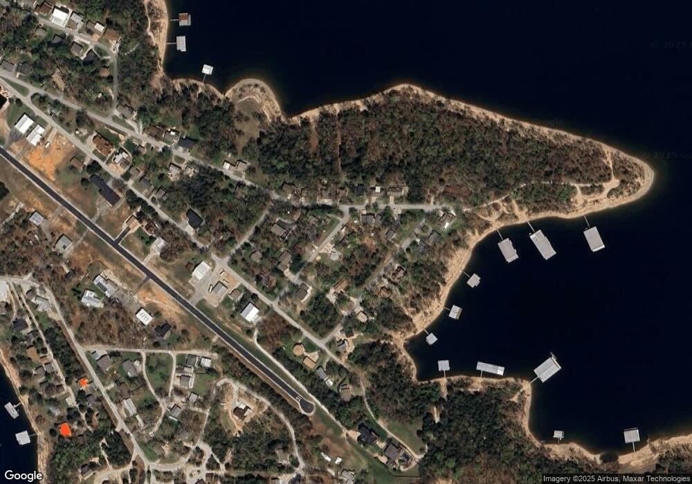
Map
Nearby Homes
- 532 Bonanza Dr
- 139 Cherokee Dr
- 51 Cherokee Dr
- 78 Elm Point Ln
- 90 Brandon Loop
- 64 Deer Park Cir
- 201 Deer Park Cir
- 500 Navajo Trail
- 60 Montego Dr
- 220 Bittersweet Cir
- Lot 4 Whitefish Bay
- Lot 14&20a Whitefish Bay
- Lot 11 Whitefish Bay
- Lot 20b&20 Whitefish Bay
- Lot 12 Whitefish Bay
- 252 Settlers Cove
- 129 Pioneer Peak
- 379 Navajo Trail
- 306 Settlers Cove
- 354 Settlers Cove
- 88 Apache Ln
- 64 Apache Ln
- 340 Skipper Dr
- 300 Skipper Dr
- 300 Skylane Dr
- 75 Apache Ln
- 121 Commander Ln
- Lot 5 Commander Ln
- Lot 11 Commander Ln
- 0 Commander Ln
- 51 Commander Ln
- 61 Apache Ln
- 325 Skipper Dr
- 341 Skylane Dr
- 341 Skipper Dr
- 351 Skylane Dr
- 351 Skipper Dr
- 311 Skipper Dr
- 311 Skylane Dr
- 372 Skipper Dr