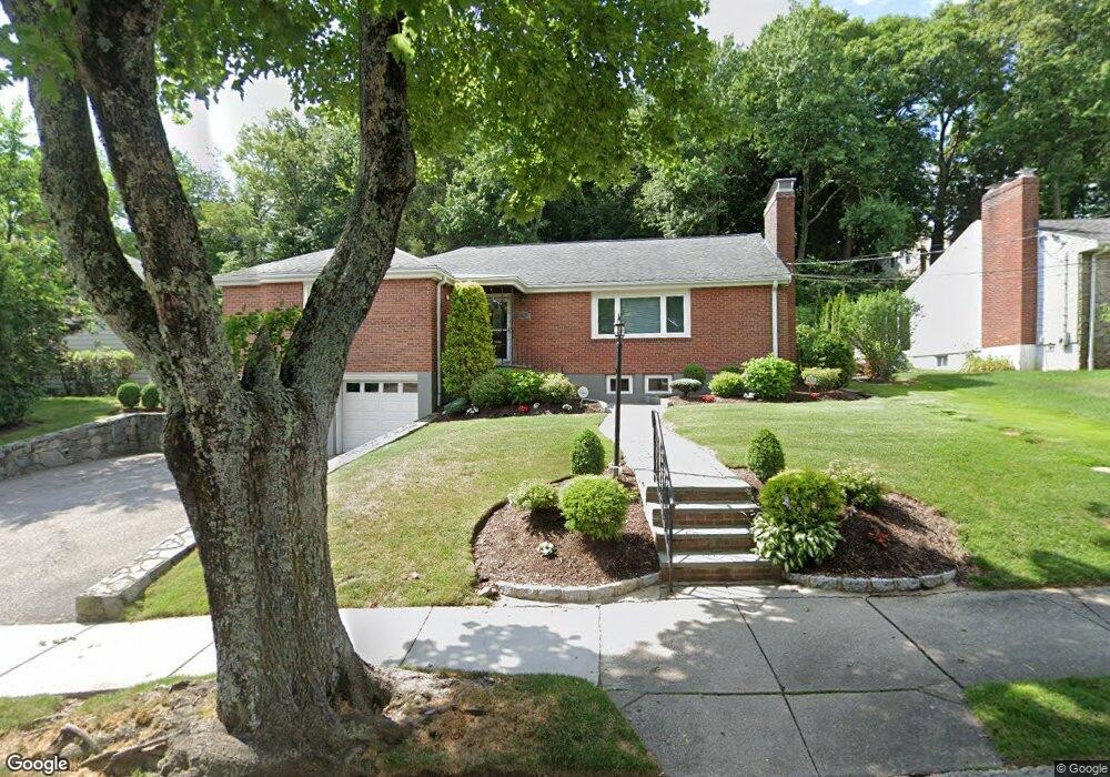
88 Bound Brook Rd Newton Highlands, MA 02461
Newton Highlands NeighborhoodEstimated Value: $1,429,000 - $1,590,000
3
Beds
3
Baths
1,880
Sq Ft
$788/Sq Ft
Est. Value
About This Home
This home is located at 88 Bound Brook Rd, Newton Highlands, MA 02461 and is currently estimated at $1,481,177, approximately $787 per square foot. 88 Bound Brook Rd is a home located in Middlesex County with nearby schools including Countryside Elementary School, Charles E Brown Middle School, and Newton South High School.
Ownership History
Date
Name
Owned For
Owner Type
Purchase Details
Closed on
Jun 14, 2007
Sold by
Widrich Lynn V
Bought by
L&D Rt and Greenstein David
Current Estimated Value
Create a Home Valuation Report for This Property
The Home Valuation Report is an in-depth analysis detailing your home's value as well as a comparison with similar homes in the area
Home Values in the Area
Average Home Value in this Area
Purchase History
| Date | Buyer | Sale Price | Title Company |
|---|---|---|---|
| L&D Rt | -- | -- |
Source: Public Records
Tax History Compared to Growth
Tax History
| Year | Tax Paid | Tax Assessment Tax Assessment Total Assessment is a certain percentage of the fair market value that is determined by local assessors to be the total taxable value of land and additions on the property. | Land | Improvement |
|---|---|---|---|---|
| 2025 | $11,979 | $1,222,300 | $1,083,700 | $138,600 |
| 2024 | $11,582 | $1,186,700 | $1,052,100 | $134,600 |
| 2023 | $11,009 | $1,081,400 | $816,000 | $265,400 |
| 2022 | $10,534 | $1,001,300 | $755,600 | $245,700 |
| 2021 | $10,164 | $944,600 | $712,800 | $231,800 |
| 2020 | $9,862 | $944,600 | $712,800 | $231,800 |
| 2019 | $9,584 | $917,100 | $692,000 | $225,100 |
| 2018 | $9,244 | $854,300 | $633,900 | $220,400 |
| 2017 | $8,962 | $805,900 | $598,000 | $207,900 |
| 2016 | $8,362 | $734,800 | $558,900 | $175,900 |
| 2015 | $7,505 | $646,400 | $522,300 | $124,100 |
Source: Public Records
Map
Nearby Homes
- 116 Upland Ave
- 36 Cannon St
- 250 Woodcliff Rd
- 51 Carl St
- 15 Buff Cir
- 1308 Walnut St
- 1292 Walnut St
- 128 Charlemont St
- 36 Roland St
- 415 Dedham St Unit D
- 125 Oakdale Rd
- 19 Selwyn Rd
- 3 Glenmore Terrace Unit 2
- 1629 Centre St
- 1623-1625 Centre St
- 671 Boylston St
- 1597 Centre St Unit 1597
- 1597 Centre St
- 1151 Walnut St Unit 205
- 1151 Walnut St Unit 405
- 82 Bound Brook Rd
- 98 Bound Brook Rd
- 105 Dane Hill Rd
- 222 Upland Ave
- 111 Dane Hill Rd
- 91 Bound Brook Rd
- 97 Bound Brook Rd
- 236 Upland Ave
- 210 Upland Ave
- 83 Bound Brook Rd
- 75 Bound Brook Rd
- 119 Dane Hill Rd
- 244 Upland Ave
- 200 Upland Ave
- 106 Dane Hill Rd
- 114 Dane Hill Rd
- 115 Willard St
- 63 Bound Brook Rd
- 231 Upland Ave
- 194 Upland Ave