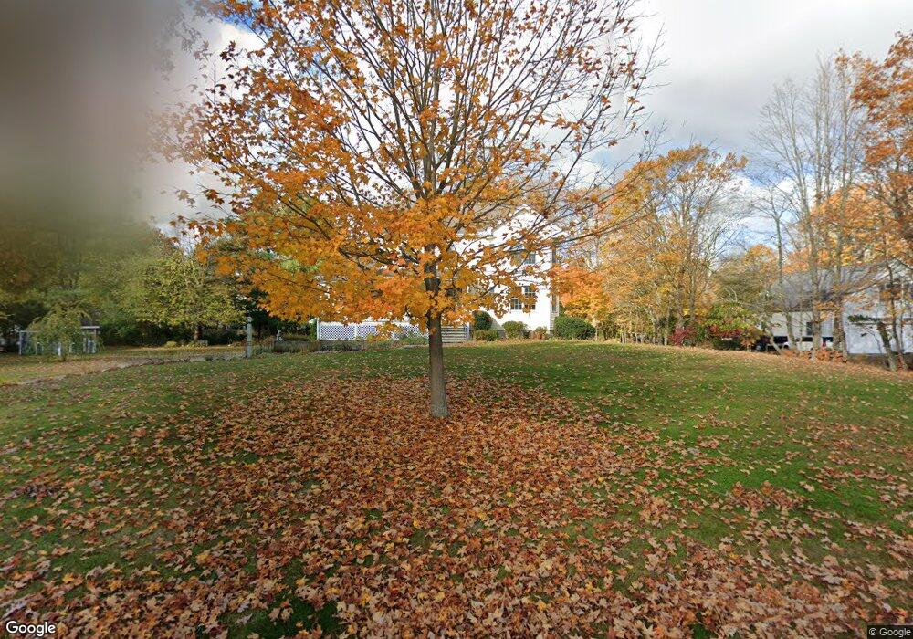
88 Burnt Swamp Rd Wrentham, MA 02093
Sheldonville NeighborhoodEstimated Value: $714,000 - $908,000
3
Beds
4
Baths
2,485
Sq Ft
$323/Sq Ft
Est. Value
About This Home
This home is located at 88 Burnt Swamp Rd, Wrentham, MA 02093 and is currently estimated at $802,578, approximately $322 per square foot. 88 Burnt Swamp Rd is a home located in Norfolk County with nearby schools including Delaney Elementary School, Charles E Roderick, and Mercymount Country Day School.
Ownership History
Date
Name
Owned For
Owner Type
Purchase Details
Closed on
May 9, 2018
Sold by
Loughlin Dennis J
Bought by
Loughlin-Mary Jane W
Current Estimated Value
Create a Home Valuation Report for This Property
The Home Valuation Report is an in-depth analysis detailing your home's value as well as a comparison with similar homes in the area
Home Values in the Area
Average Home Value in this Area
Purchase History
| Date | Buyer | Sale Price | Title Company |
|---|---|---|---|
| Loughlin-Mary Jane W | -- | -- |
Source: Public Records
Tax History Compared to Growth
Tax History
| Year | Tax Paid | Tax Assessment Tax Assessment Total Assessment is a certain percentage of the fair market value that is determined by local assessors to be the total taxable value of land and additions on the property. | Land | Improvement |
|---|---|---|---|---|
| 2025 | $9,380 | $809,300 | $324,900 | $484,400 |
| 2024 | $8,964 | $747,000 | $324,900 | $422,100 |
| 2023 | $8,638 | $684,500 | $295,300 | $389,200 |
| 2022 | $7,405 | $541,700 | $227,200 | $314,500 |
| 2021 | $7,416 | $527,100 | $238,000 | $289,100 |
| 2020 | $7,742 | $543,300 | $214,700 | $328,600 |
| 2019 | $7,458 | $528,200 | $214,700 | $313,500 |
| 2018 | $7,111 | $499,400 | $214,900 | $284,500 |
| 2017 | $6,968 | $489,000 | $210,700 | $278,300 |
| 2016 | $6,820 | $477,600 | $204,600 | $273,000 |
| 2015 | $6,847 | $457,100 | $196,700 | $260,400 |
| 2014 | $6,735 | $439,900 | $189,200 | $250,700 |
Source: Public Records
Map
Nearby Homes
- 78 Burnt Swamp Rd
- 41 Hancock St
- 51 Hancock St
- 63 Burnt Swamp Rd
- 93 Burnt Swamp Rd
- 57 Hancock St
- 58 Hancock St
- 115 Burnt Swamp Rd
- 46 Hancock St
- 35 Hancock St
- 40 Hancock St
- 32 Hancock St
- 125 Burnt Swamp Rd
- 50 Burnt Swamp Rd
- 20 Hancock St
- 53 Burnt Swamp Rd
- 1023 West St
- 1011 West St
- 1043 West St Unit 1
- 1043 West St Unit 1043
